Balloon Rodeo in Steamboat Springs

15 07 2013
Eagle Soaring RV Park

Eagle Soaring RV Park

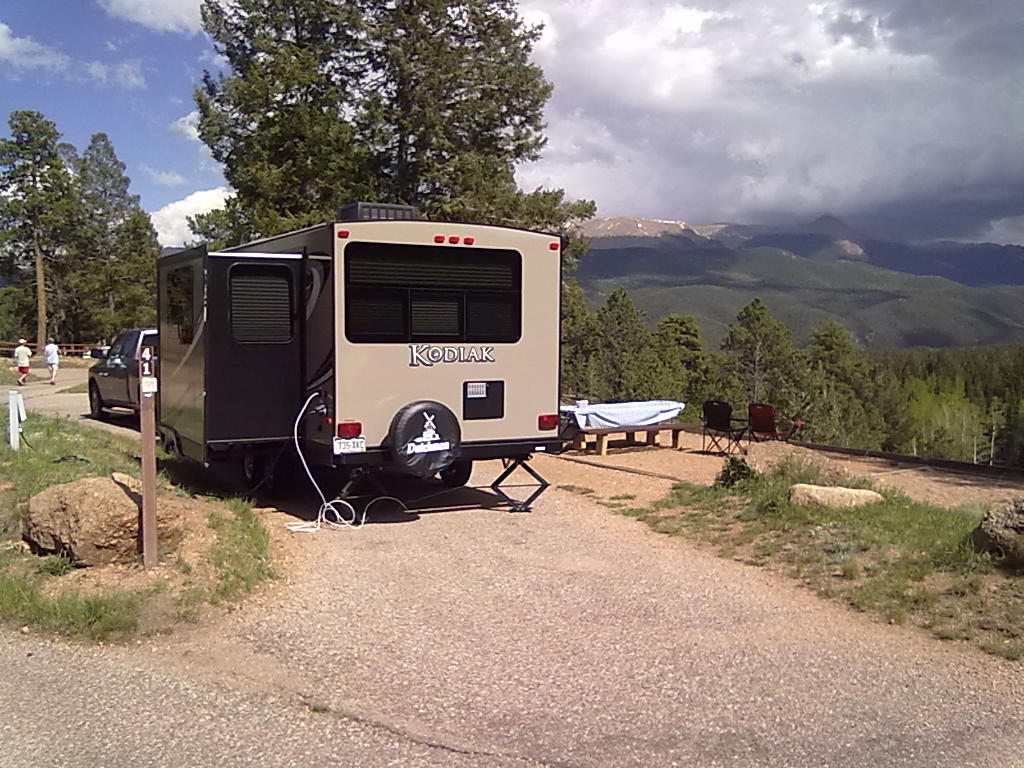
This weekend we’re in Steamboat Springs for the annual Balloon Rodeo and Art in the Park. This event has been a family favorite for several years. This year my parents and cousins from New York are here to enjoy this, one of the biggest summer time events in Steamboat.

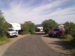
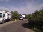
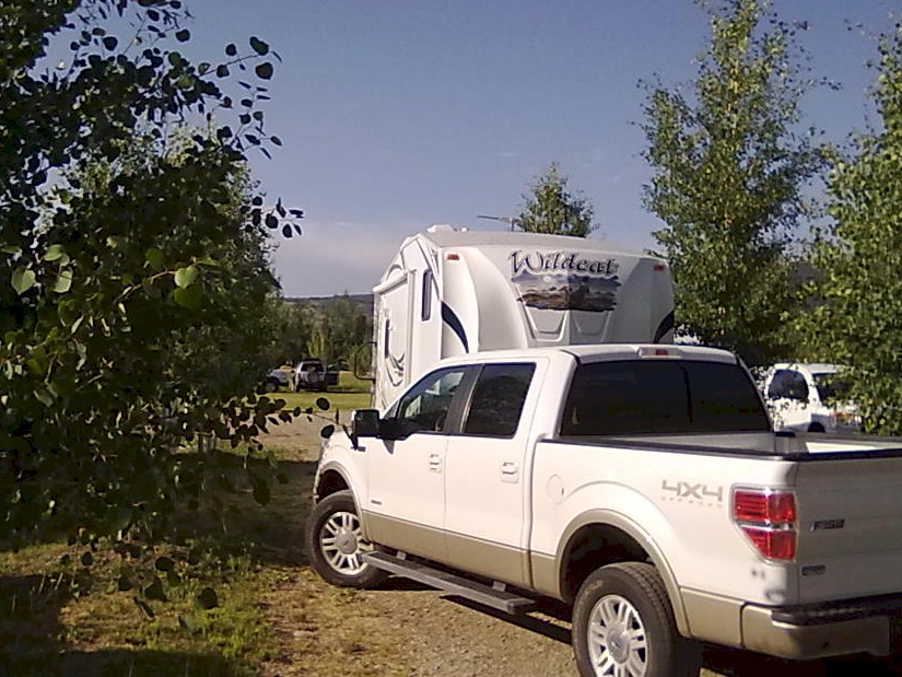
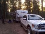
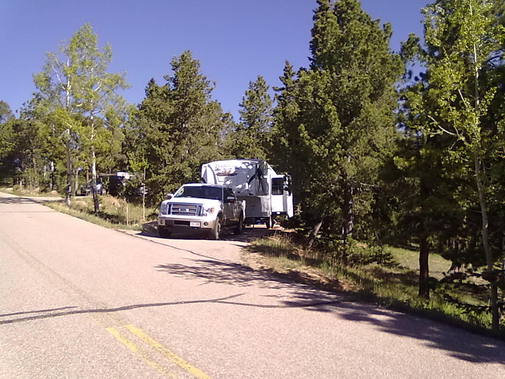
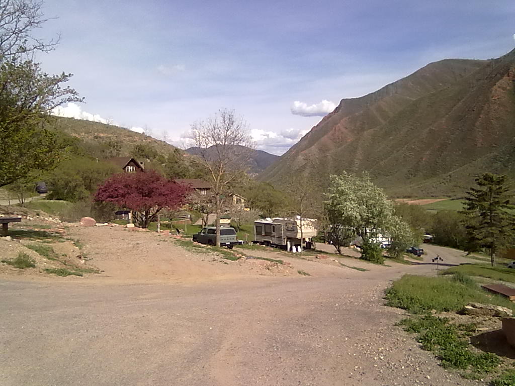
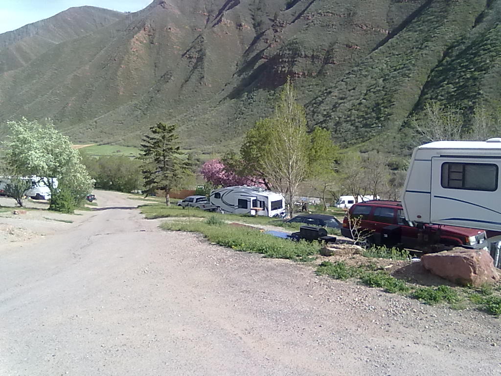
We’re staying at the Eagle Soaring RV park, about 10 minutes west of town. The park is set back on the north side of highway 40 up against a small bluff. The roads through the park are gravel and all sites are grass with moderate sized immature trees. The $45/per night rate provides water, electricity and sewer hookups.  There’s no cable TV available and no signals that we could find through the air.  The free WiFi is fast enough but a bit unreliable – they appear to be working out a few kinks in the recently upgraded system.  In addition to RV’s,  this park has a beautiful manicured grassy area complete with fire pit for tent campers. Both Verizon and T-Mobile provide good service.  The small shower house is nothing to write home about.  A single room containing a janitor’s sink, toilet, vanity sink and pay shower make you feel like you are in a broom closet.  With a full compliment of tent campers, these two (men’s & women’s) rooms would be in high demand! Maybe this is a good value for Steamboat, but it’s not a great value compared to other places in the mountain west.


Black Canyon of the Gunnison

4 07 2013
Black Canyon of the Gunnison

Black Canyon of the Gunnison

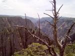
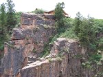
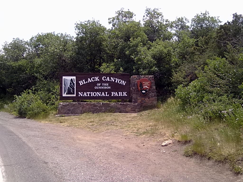
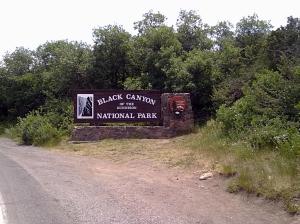
In a break from our tradition of heading north to Glendo, WY for the July 4th weekend, this year we’ve headed to south western Colorado to the Black Canyon of the Gunnison. We’re camping in sites 13B and 14B at the South Rim campground. The campground is organized around 3 loops, A and B loops with about 30 sites each are reservable. All loop B sites offer 30/50 amp electric service. Loop C is available on a first-come first-serve basis. Each site has what appears to be fairly new firepits and picnic tables. Most of the sites are carved out of dense scrub oak, serviceberry bushes and tall grasses. The sites are packed in tight, you can hear close-by neighbors, but not see them through the dense brush.

There is potable water available in each loop, but without hose threads. A sign above the water spigot reminds users to conserve, “This water is transported 14 miles…”, being trucked in from Gunnison. Closest RV fill (and dump) is the small Cimarron campground, about 15 miles east on highway 50. The nearby amphitheatre complete with a sound and video system is booked nearly each evening for park ranger programs. On Wednesday when we arrived, Ranger Zach presented a Astronomy and Telescope viewing program. With cloudy skies, we opted to wait to see the repeated program on Friday night.

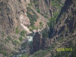
On Thursday morning we hiked the short Rim trail from the campground to the Visitor Center. In the afternoon we drove the 5 mile, very steep road to the East Portal ranger station for a program on the building of the Gunnison Tunnel in the early 1900’s. The 6 mile long tunnel provides water to the Montrose area for both domestic and irrigation usage. Ranger Tom led us through the history of building a small city at the deepest part of the canyon, and the amazing engineering that led drilling teams from both ends of the tunnel to meet within 3 inches of dead center. The tunnel carries approximately 500 CFM during growing season. During winter, gates are only opened as necessary to refill Montrose reservoirs.

On Friday, amid lighting storms in the far distance, the sky cleared enough for the Astronomy Through Your Own Eyes program plus telescope viewing. The amphitheater was nearly full with about 100 campers, much different than the crowd of only about 10 on Wednesday evening. Ranger Zach’s engaging and humorous talk focused on objects that are visible with the naked eye, briefly discussed astronomy history and taught us how to determine our approximate latitude by using Polaris (the North Star) and our outstretched fist. This was one of the most enjoyable and engaging talks we have seen in a National or State park.

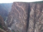
On Saturday we visited nearly all of the viewing areas along the South Rim road.  Among these, perhaps the most dramatic was Painted Wall and Pulpit Rock.  We also joined another Ranger talk at Chasm View for a discussion of water supply and demand of the nearly 40 million people that rely on the flow of the Colorado River, the most contested, recreated-upon, and carefully controlled rivers on Earth.


Buffalo Campground

22 06 2013
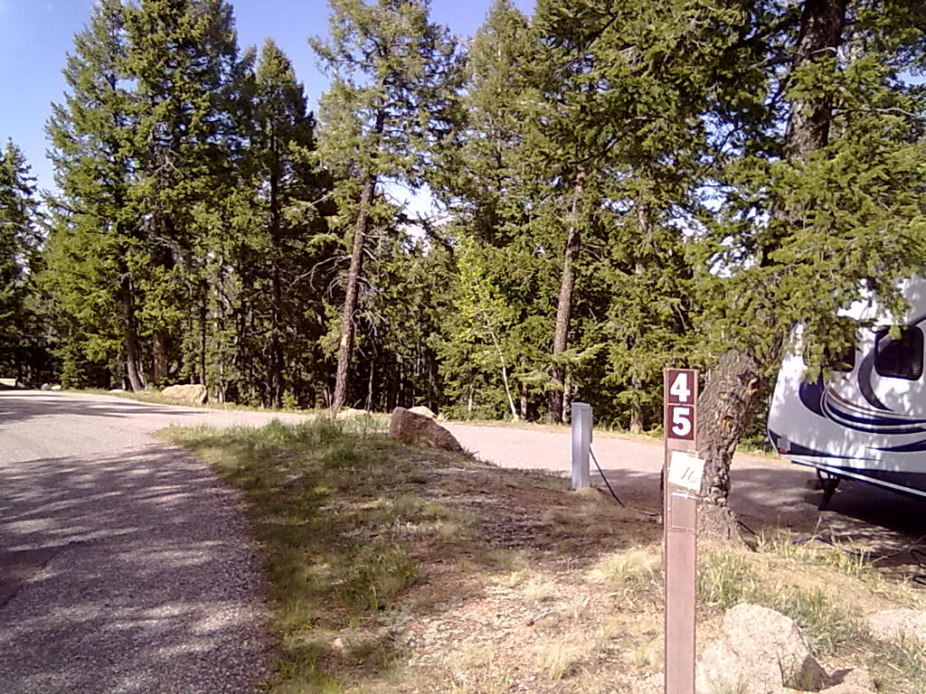
Buffalo Campground Sites #7 & #9

Buffalo Campground Sites #7 & #9

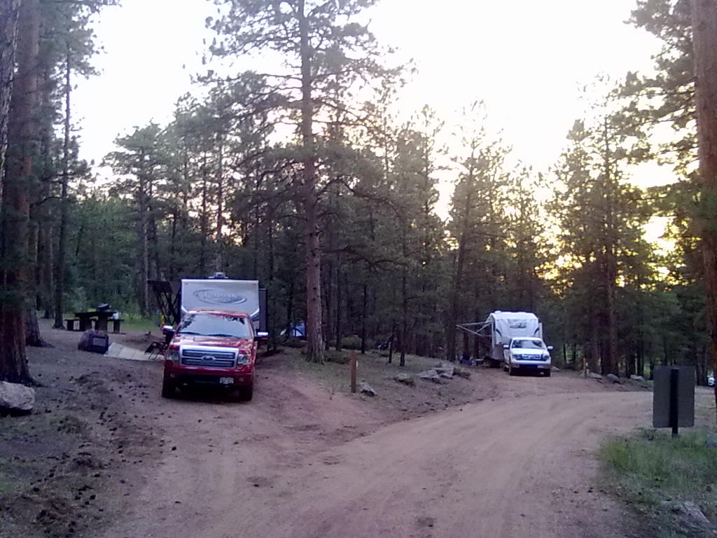
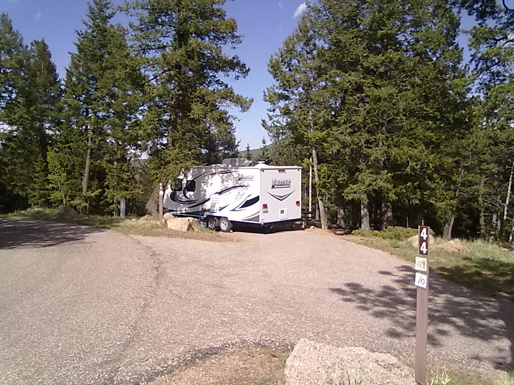
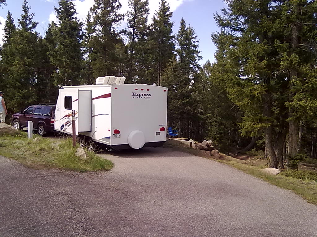
It’s a special camping weekend, our best friends J&T have flown in from North Carolina and we’re headed to Buffalo Campground to show them how we spend nearly every other summer weekend. Buffalo is southeast of Pine Junction about 40 minutes, located just off on the Colorado Trail and not far from Wellington Lake. The nearby Lime Gulch fire has blown up to several hundred acres and unfortunately is providing a bit of concern over access to the campground. Highway 126, the Pine Valley Road passed through the western border of the mandatory evacuation area for residents of Buffalo Creek. However, by Friday the Pine Valley Road is open and the firefighters are gaining the upper hand on the  fire.

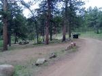
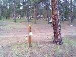
Buffalo is a small, 30 site campground near the eastern end of Forest Road 550. There are clean vault toilets, fire rings and picnic tables at each site. Organized around an outer and inner loop, we’re in parked in sites #7 and #9 on the far-side, outer loop providing adequate back-in length and set in a well manicured forest of tall ponderosa pine. This campground is in need of some road grading and site leveling. Many of the roads have deep ruts making some completely inaccessible to trailered vehicles. Many of the sites are deeply carved bowls, leading to further erosion during any rain event. With a heavy rain, some sites could become a messymud hole.

This campground, along with 2 others in the area are hosted by Justin and Angelica, a young couple from nearby Littleton, CO. Very outgoing and friendly, they joined us several times for relaxing afternoons and campfires. Thanks J&A for letting us use your land-line to track down a piece of lost luggage (that was delivered by Frontier to the campground)

Alternative sites, available on a first-come, first-serve basis are sites #30 and #31


Mueller State Park

16 06 2013
Mueller State Park Site #2

Mueller State Park Site #2

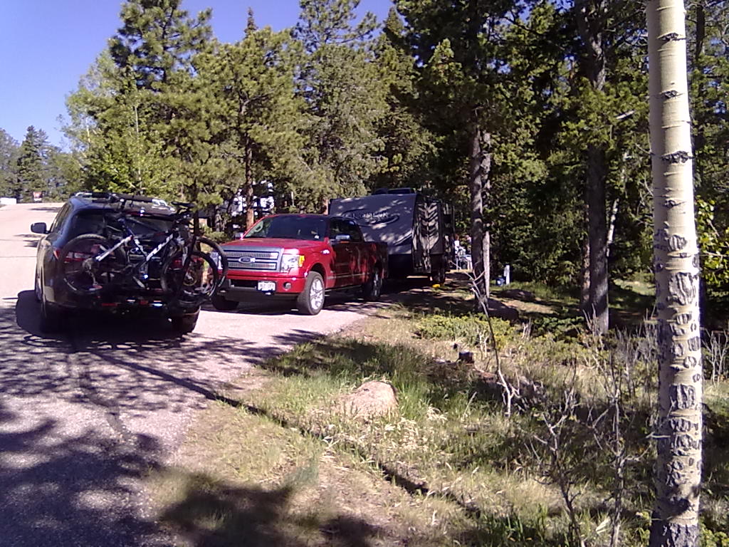
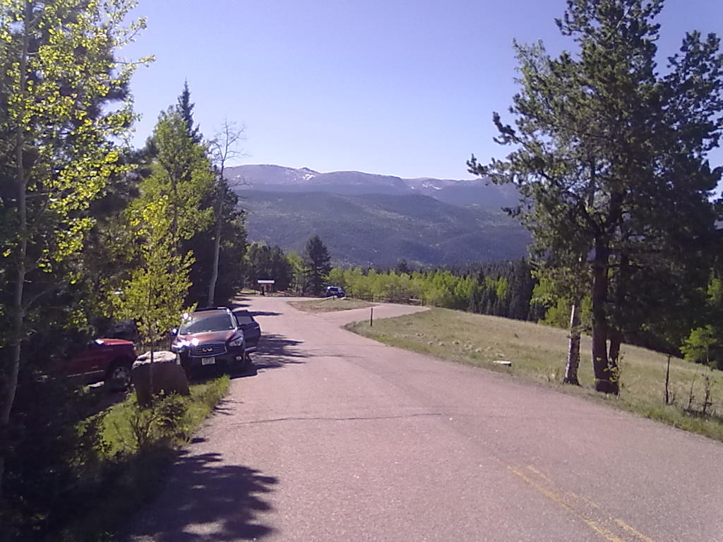
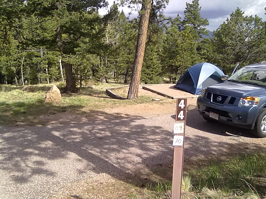
Last weekend found us at camping at Mueller State Park.  One of the most popular of all Colorado State Parks, we’ve had our reservations for Mueller since last December.  Mueller is just south of Divide, CO and about 20 minutes outside of Woodland Park. The park boasts over 5000 acres, nearly 50 miles of hiking/biking trails, 132 camp sites (110 with electric service) a beautiful visitors center, camper service center with hot showers and a laundromat and an amphitheater with nightly programs.  Threaded water hydrants are located throughout the campground and there’s an RV dump station.

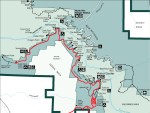
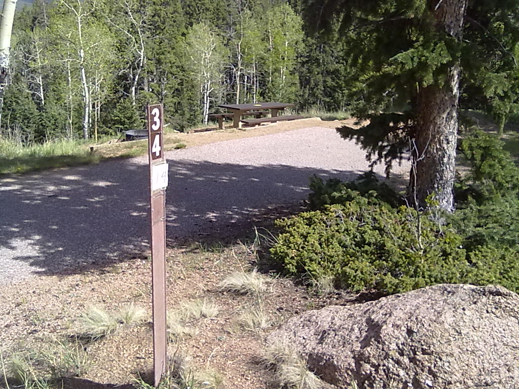
Campsites are organized along a high ridge with 3 main loops.  We’re in sites #2 & #3 along the first small loop called Peak View.  There are about 20 sites along Conifer Ridge, the next loop, followed by Grouse Mountain with about 40 sites.  Remaining sites are spaced along the main road and in two walk-in tent camping areas. Most of the RV sites are fairly private and can accommodate moderate to large rigs with large and small tent pads.  All sites have a picnic table and a fire ring.  On the Peak View loop there is a water hydrant next to site #1 and one in the middle of the turnaround at the end of the loop.  There is also a vault toilet at the end of the loop next to the trail-head leading to a small pond. Mueller_Campground_Map
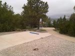
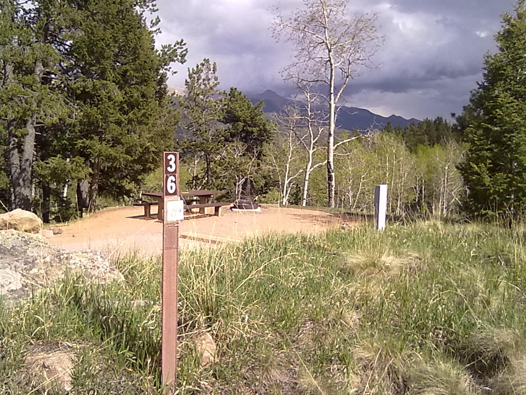
We took our mountain bikes down the Peak View trail which intersects with the Elk Meadow trail.  Peak View trail is nearly all downhill, Elk Meadow is all uphill.  With the campground on a high ridge, most trails have aggressive elevation changes.  We probably won’t be biking Mueller’s trails again after walking our bikes back up the hills – much better to bike the main roadway or hike the trails! While our sites worked well, there are many sites that would be just as nice.  Sites on the south side of Conifer Ridge, #34, #36, and #41 offer amazing views.  With shared driveways, sites #44, #45 & #46 & at the end of Conifer Ridge are very private.

The Peak View campgrounds are some of the lowest in the park and didn’t offer any TV signals.  Cellular coverage was spotty at best, our T-Mobile service only worked from higher up on the main road, but we did manage a very week, but connected Verizion Broadband signal in the camper.  Coverage for both cellular and TV may be a bit better in the higher Conifer Ridge or Grouse Mountain sites.  We’ll be back in September, in sites #37 and #39 to check out that theory.


A Quick Stop at Glendo State Park

28 05 2013

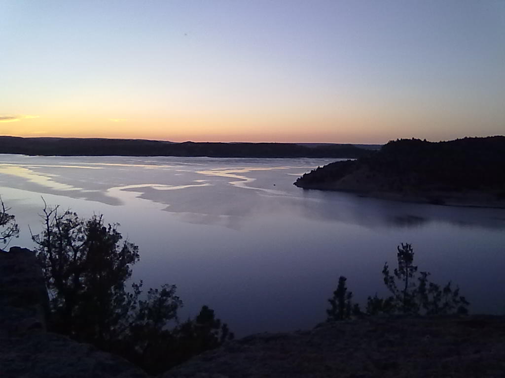
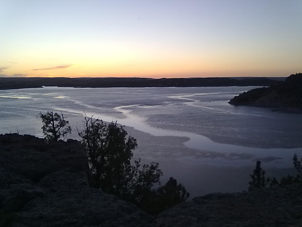
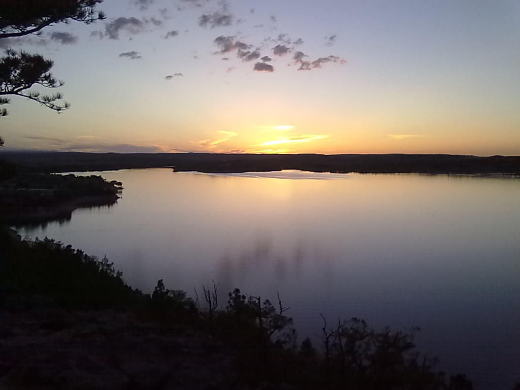
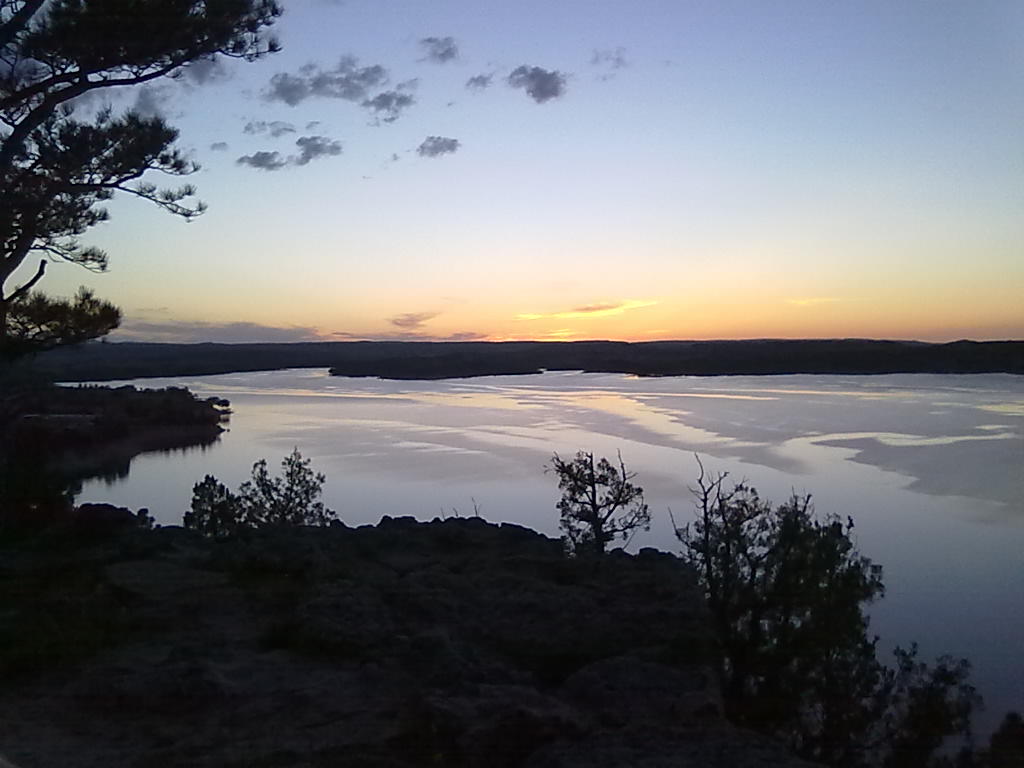
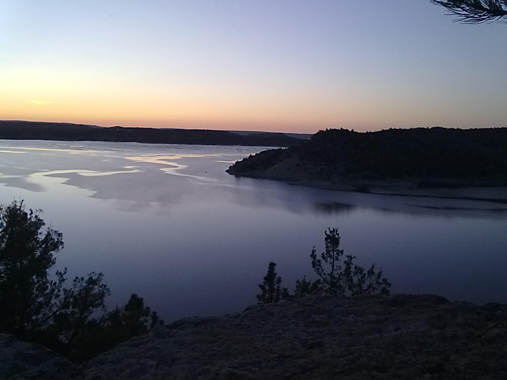
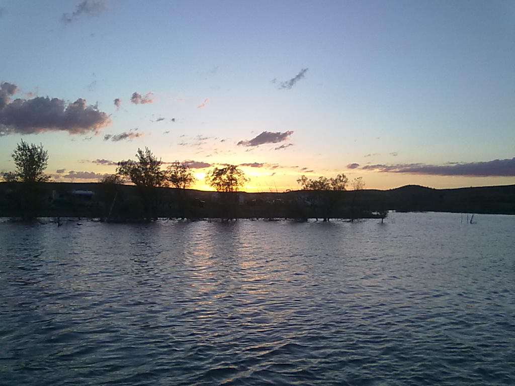
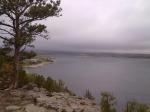
A few more pictures of Glendo Lake from the cliff side in Two Moon campground.  🙂  We thought it fascinating how the sunset and winds made the water look like it was freezing.

We had a great time at the Tongue River Reservoir, the weather was good except for a few thunderstorms our last night and the morning we were to leave.  And, we caught enough fish for a tasty dinner.  Now home and back to “reality”.

052720131257 052720131258 052720131254 052720131255 052720131256


The Tongue River Resevoir

25 05 2013
Tongue River Resevoir, Sand Point campsites

Tongue River Resevoir, Sand Point campsites

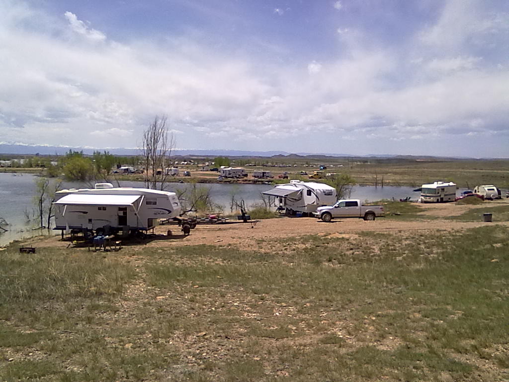
It’s a beautiful Memorial Day weekend in Southern Montana.  A windy cold front that came through on Thursday has left clear skies and temperatures pushing into the low 80’s  Arriving about noon on Thursday we had our pick of many sites.  We opted for an unnumbered site at Sand Point, right at the water’s edge with a good boat access.  Crappie, bass and walleye are reportedly biting well, so we’re hoping for a fresh fish dinner during our stay.

Camping facilities at the Tongue include Campers Point with around 40 electric sites, Pee Wee with about 50 dry camping sites and about 60 “unnumbered” sites along the water at Rattlesnake Point and Sand Point.  Most of the sites at Campers Point and Pee Wee are available for reservation.  The unnumbered sites along Sand Point road are available first-come-first serve. There is a small marina store with ice, beer and other camping necessities, clean pit toilets, two boat launch ramps, an RV dump station and fresh water hydrants scattered through the park.  Each campsite has a picnic table and fire ring.  We’ll be here through Monday, Memorial Day and then make our way back home with an intermediate stop at Glendo State Park.  More from there…

Tongue River Resevoir

Tongue River Resevoir

Tongue River Resevoir

Tongue River Resevoir


Memorial Day in Montana

23 05 2013
Glendo State Park site TM-8

Glendo State Park site TM-8

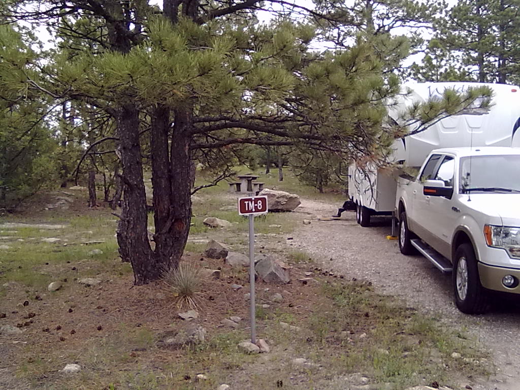
We’re on the way north across Wyoming to spend Memorial Day weekend with friends and family at the Tongue River Reservoir in southern Montana. After a late departure, we’re backed in and parked at one of our favorite sites in Glendo State Park by around 9PM.  This will be a quick overnight, tomorrow we’d like to be in Sheridan by noon to  get ahead of the ‘weekend crowd’ for best site selection at the Tongue.

Glendo has placed numbered site markers at all of the sites and designated a few of the Two Moon sites as reservable.  Our favorite cliff-side site is now marked TM-8.  The site that we’ve often used directly across the street is reservable TM-7.  They have designated the handicap accessible site right next to TM-8 as a day-use only.  Other reservable sites on the small loop include TM-1 and TM-2, a double site right across from the water faucet and TM-19 and a new handicap accessible site, TM-20.  They have also constructed a new group pavilion area with 6 sites.


Ami’s Acres, Glenwood Springs

13 05 2013
Ami's Acres RV Park

Ami’s Acres RV Park

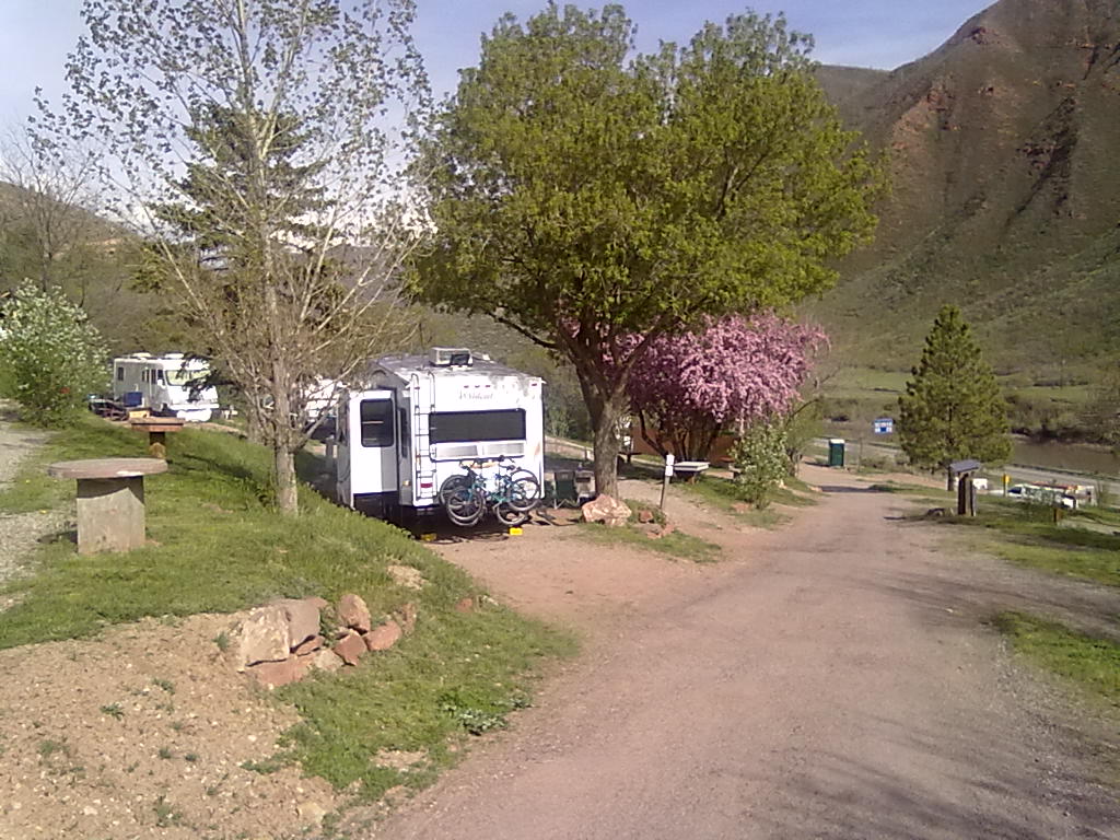
We’re on our way home from Arches National Park and have stopped at Ami’s Acres, an RV park in Glenwood Springs.  We’re parked in site #11 which provides water, electric and sewer.  There is 1 over-the-air TV channel available  and good Verizon coverage.

This terraced park is just west of Glenwood Springs with nice long pull throughs and views of the river below.  The only downside is that I-70 is between the park and the river. In this narrow canyon, the rumble of semi’s is never ending.  But, the traffic sounds die down (only a bit) for a good nights sleep.  We’re on the road by 11AM the next morning and home by around 3PM. The next trip is scheduled for 2 weeks when we’ll travel to southern Montana to the Tongue River Reservoir.  More from there…


Biking to Tower Arch

12 05 2013
Tower Arch

Tower Arch

On Sunday we trade transportation modes from hiking to biking.  Beginning on the main paved road out of the campground, we descend toward the turnoff to the Salt Valley road which is about 1 mile away.

After hitting the turn-off for this gravel road, we continue on a fairly quick decent (about 3 miles) to the floor of the valley. From here, across rough dirt roads and some sand washes, it’s about 6 more miles to the trail head for Tower Arch.  The 5 mile hike the day before and the nearly 10 miles into this point (plus the 10 miles back out) convince all of us that the 3 mile hike to Tower Arch will be left for another visit. We find some rare shade to rest and rehydrate before beginning our trek out of the Salt Valley.

After a very strenuous ride (and a bit of walking) up the hill, we’re back at the campsite by around 3pm ready for relaxation, some cold drinks and a tasty dinner.  Tomorrow we’ll pack and up head for home with an intermediate stop in Glenwood Springs.  More from there…


Hiking to Double O Arch

11 05 2013
Landscape Arch

Landscape Arch

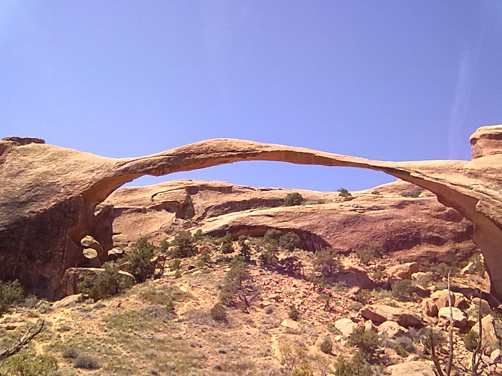
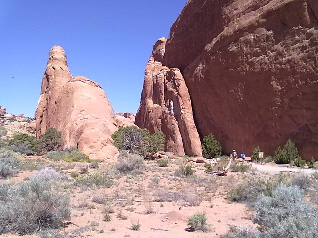
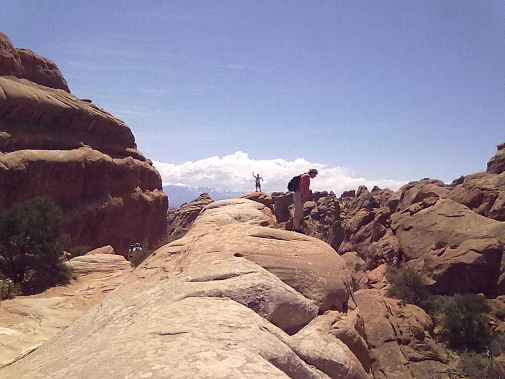
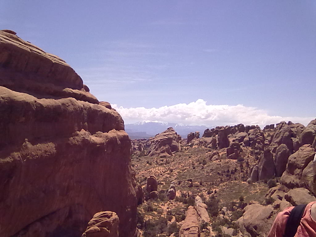
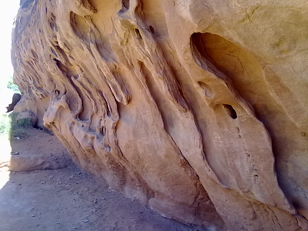
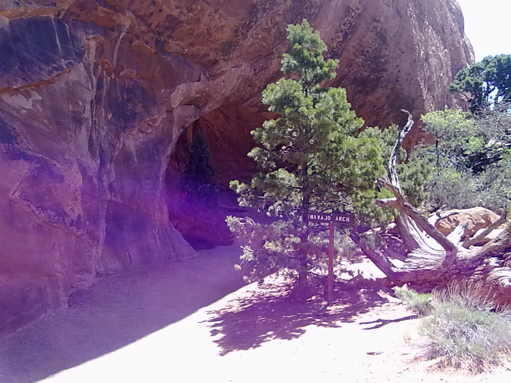
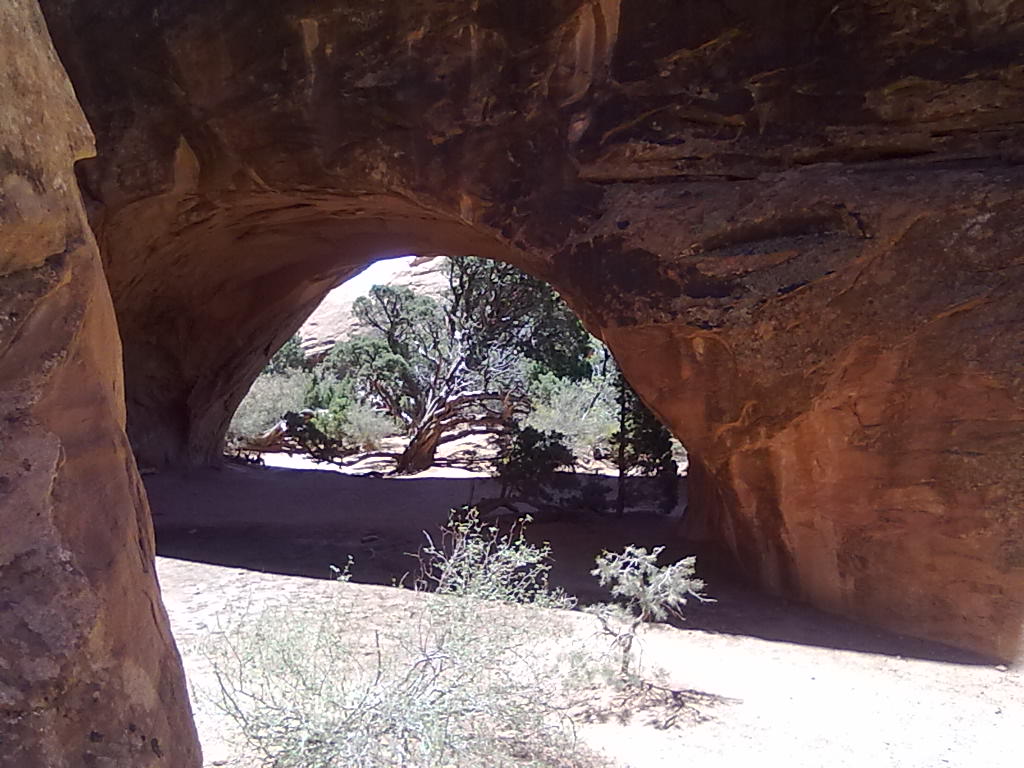
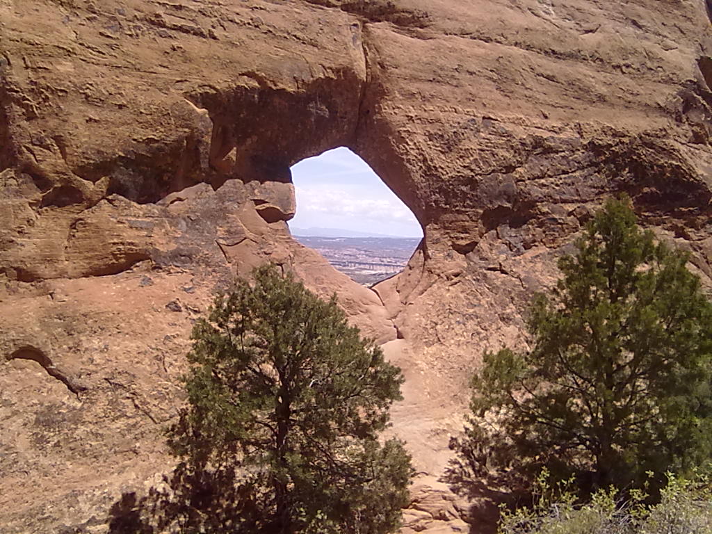
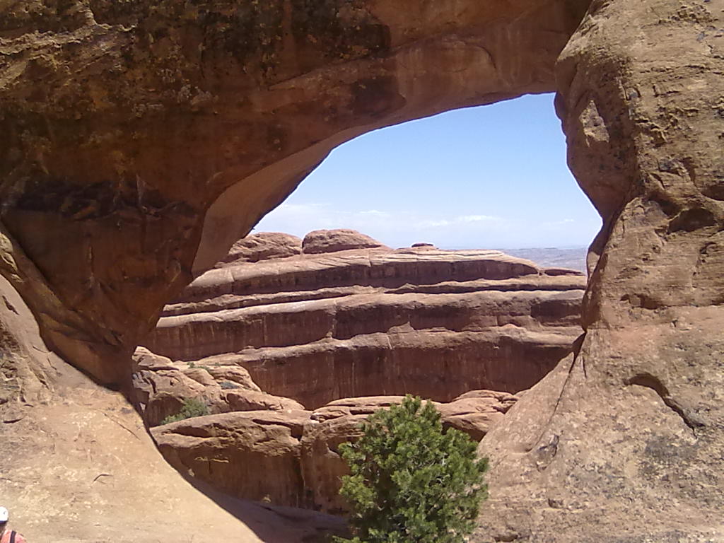
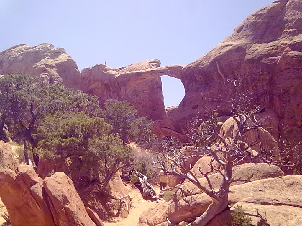
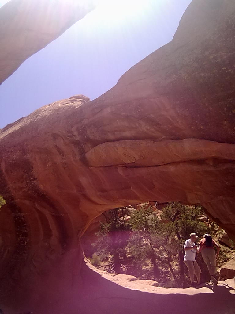
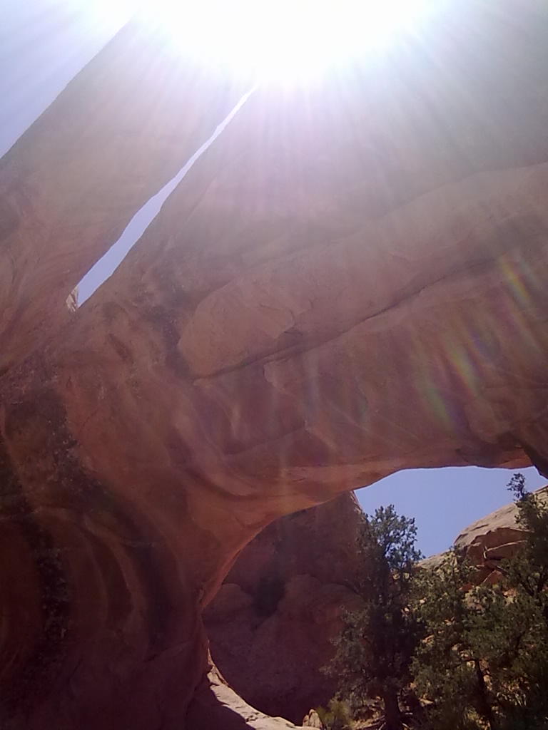
It’s Saturday and our big excursion today will be into Devil’s Garden.  Just beyond the campground is the parking area and trailhead for the 4.2 mile moderately aggressive hike that takes you past Landscape Arch and continuing to Double O Arch, with intermediate stops at 5 other arches.  From Double O you can choose a longer return route (by about 2 miles) or double back on the same path to the parking lot.  It takes us about 2 hours to reach Double O Arch after stopping for photos at Landscape Arch, Partition Arch and Navajo Arch.  Landscape has one of the widest spans in the park and in 1991 suffered a collapse of about half of the underside of the arch.  Now even more delicate and fragile the arch is off limits for close-up observation or climbing.  Navajo Arch is uniquely positioned on the sandy desert floor rather then up high on a rock fin.  Partition is actually two arches, side by side high up on narrow rock partition.  Double O is very unique, with two arches stacked one on top of the other.  You can hike up to and into (and in the case of Double O, across the top arch) of each of these except Landscape.  The hiking beyond Landscape is challenging in areas with about half the trail being in soft sand and the other half being along rocky elevated outcroppings.  Some of the best views of the park are just before Double O with a passage along a long narrow rock fin that offers 360 degree views of the park.