In the Davis Mountains

11 03 2013

We’ve arrived in Ft. Davis, a small western-feeling town surrounded by the Davis Mountains of  Southwest Texas.
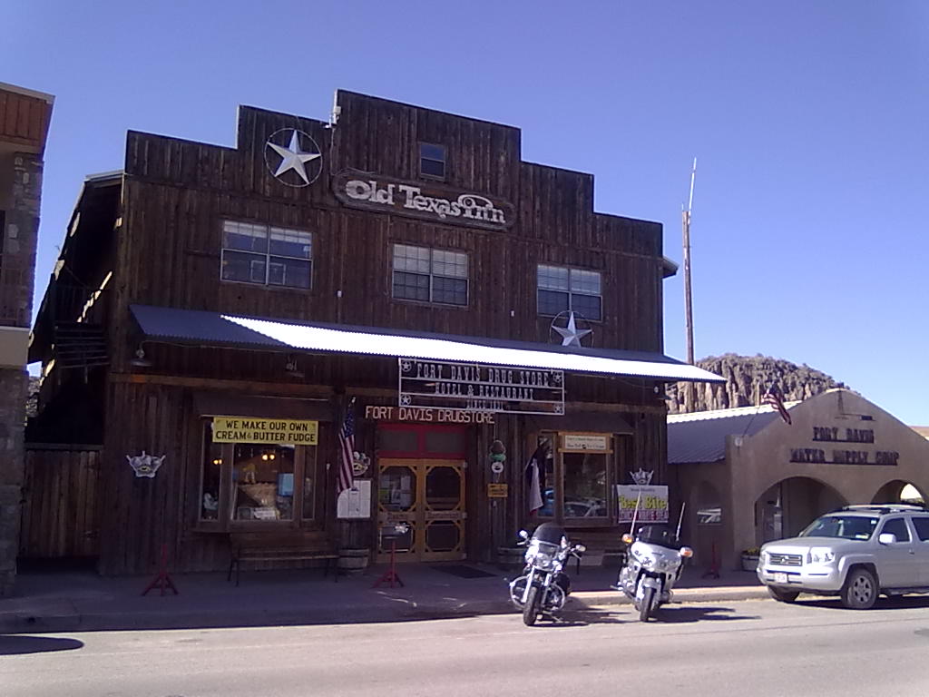
Old Texas Inn, Ft. Davis
Old Texas Inn, Ft. Davis

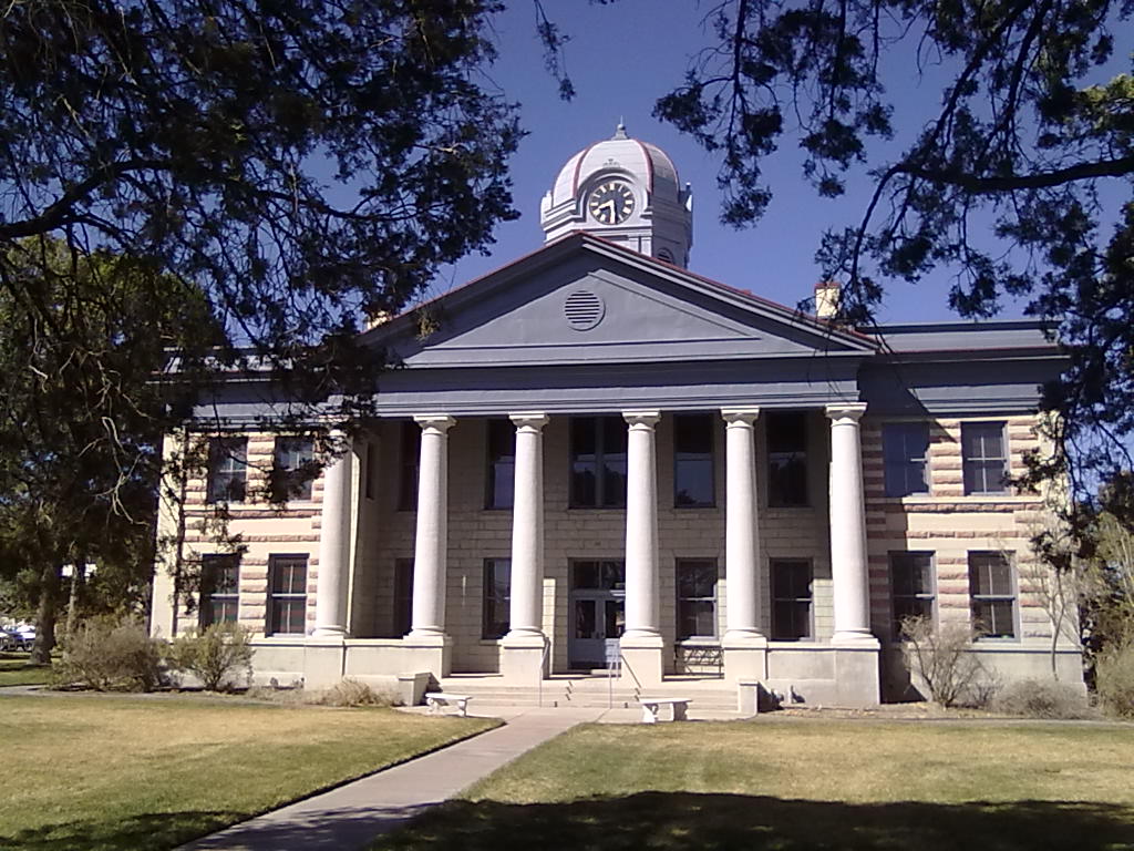
Jeff Davis County Courthouse
Jeff Davis County Courthouse

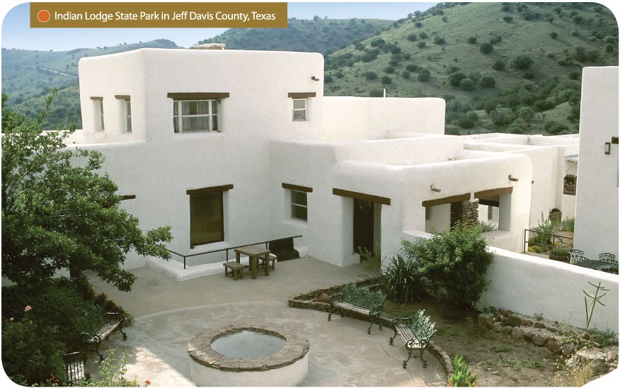
Indian Lodge

Indian Lodge

We’ve visited Fort Davis a number of time – one of the first was before the camper or trailer when we stayed in Indian Lodge. Located within Davis Mountains State Park, Indian Lodge was built in the 1930’s by the CCC and has been meticulous enhanced and maintained by Texas State Parks. Considered the “crown jewel” of the Texas CCC structures, the Lodge includes 39 guest rooms, meeting space, an onsite restaurant, swimming pool and access to miles of hiking trails throughout the park. In addition to the Lodge is a 94 site RV campground with full hookups. Unfortunately there is no cellular or WiFi access in the park so we didn’t stay in the park.
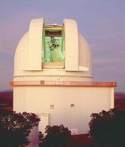
Harlan J. Smith 107-inch Telescope

Harlan J. Smith 107-inch Telescope

Another attraction that has brought us to the Fort Davis area is the MacDonald Observatory. We attended a Star Party during our first visit and stay at Indian Lodge. These open to the public gatherings generally occur during dark moon phases (except during Spring Break when they are more regular) and include fun and information for the entire family. The 22-inch and 16-inch telescopes are available for viewing during the evening parties along with staff and researchers that demonstrate aspects of our solar system, point out easy-to-see objects and any special night-sky events. We were so fascinated by the work at MacDonald that several years later we returned for a much more intimate program when the 107-inch Harlan J Smith telescope is opened to the public. The “Dinner and Viewing” evening starts with dinner served in the Astronomers Lounge, where professional and students stay during research projects at MacDonald. After dinner the small group is lead into the telescope where the dome is slowly opened to reveal the night sky from high atop Mount Locke. Led by a professional astronomer, the program includes plenty of viewing opportunities, open question/answer sessions and background into how modern-day star study is done. This is a 10-12 times per year presentation – make reservations early.

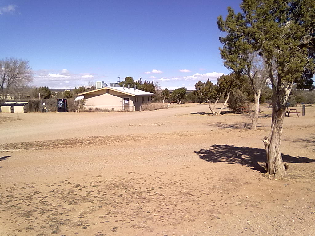
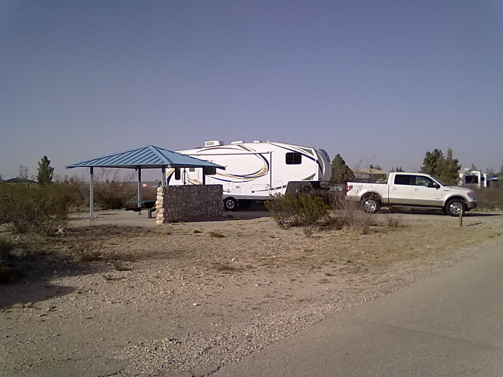
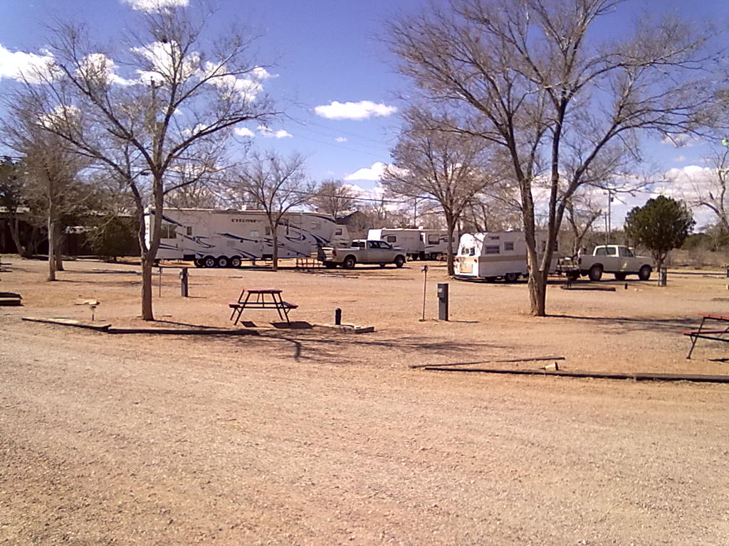
Our stay in Fort Davis was at a small RV campground hosted by the Fort Davis Motor Inn. 14 sites in a small grove of cottonwood trees behind the hotel provide full hookups (with snowy TV cable signals) enhanced with laundry and shower-house access. Things are apparently in the midst of upgrades, the laundry isn’t functional and the showers were in need of cleaning and refurbishment. If you are completely self-contained or only need hookups, this is a good option for a close-to-town and quiet park. The cellular coverage was good, and the motel’s WiFi signal was adequate. After spending two fairly chilly and windy days, we’ve opted to continue south to Lajitas. More from the banks of the Rio Grande!
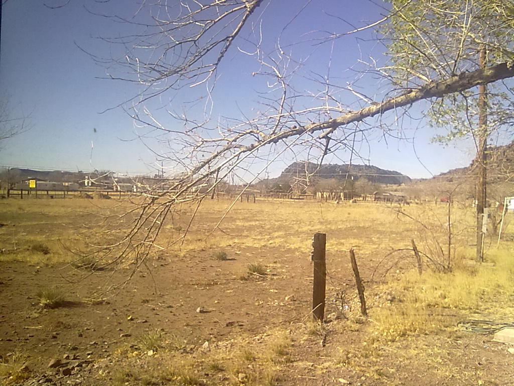
From Fort Davis Motor Inn RV Park
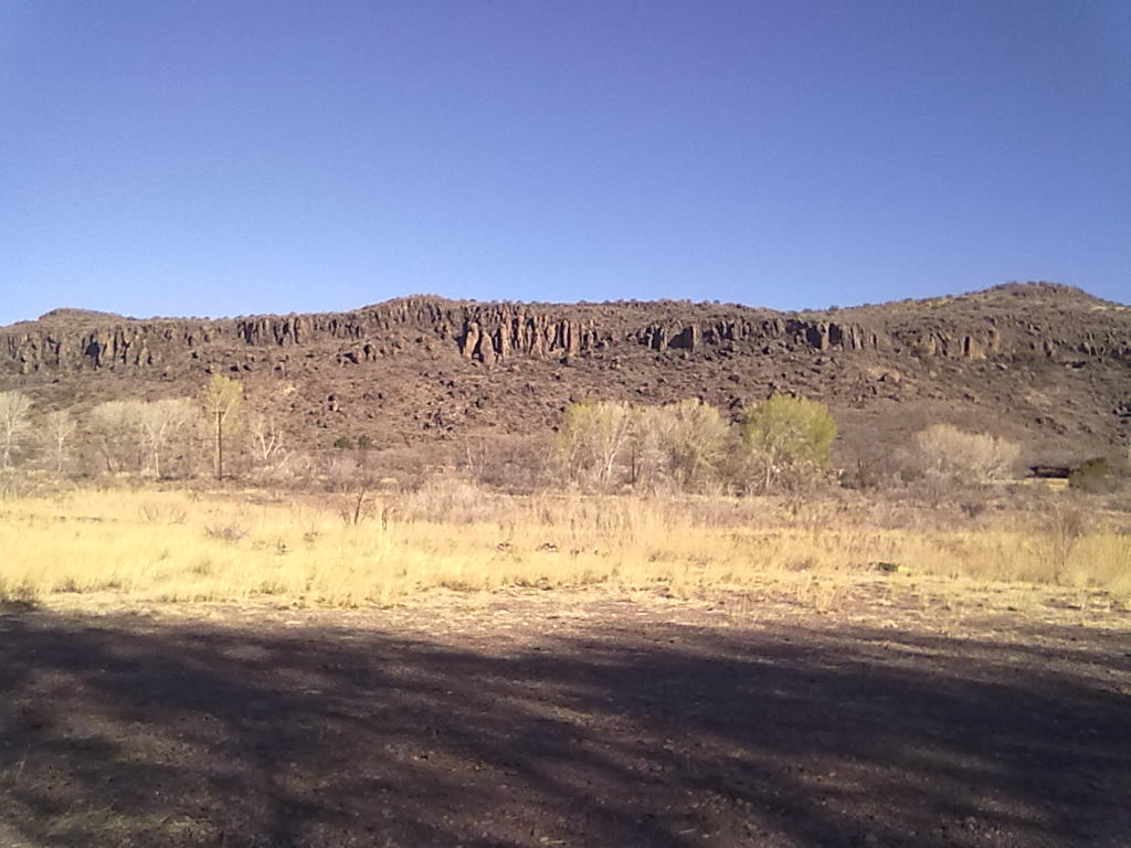
From Fort Davis Motor Inn RV Park
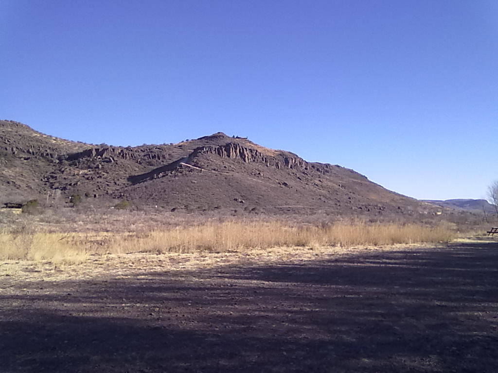
From Fort Davis Motor Inn RV Park
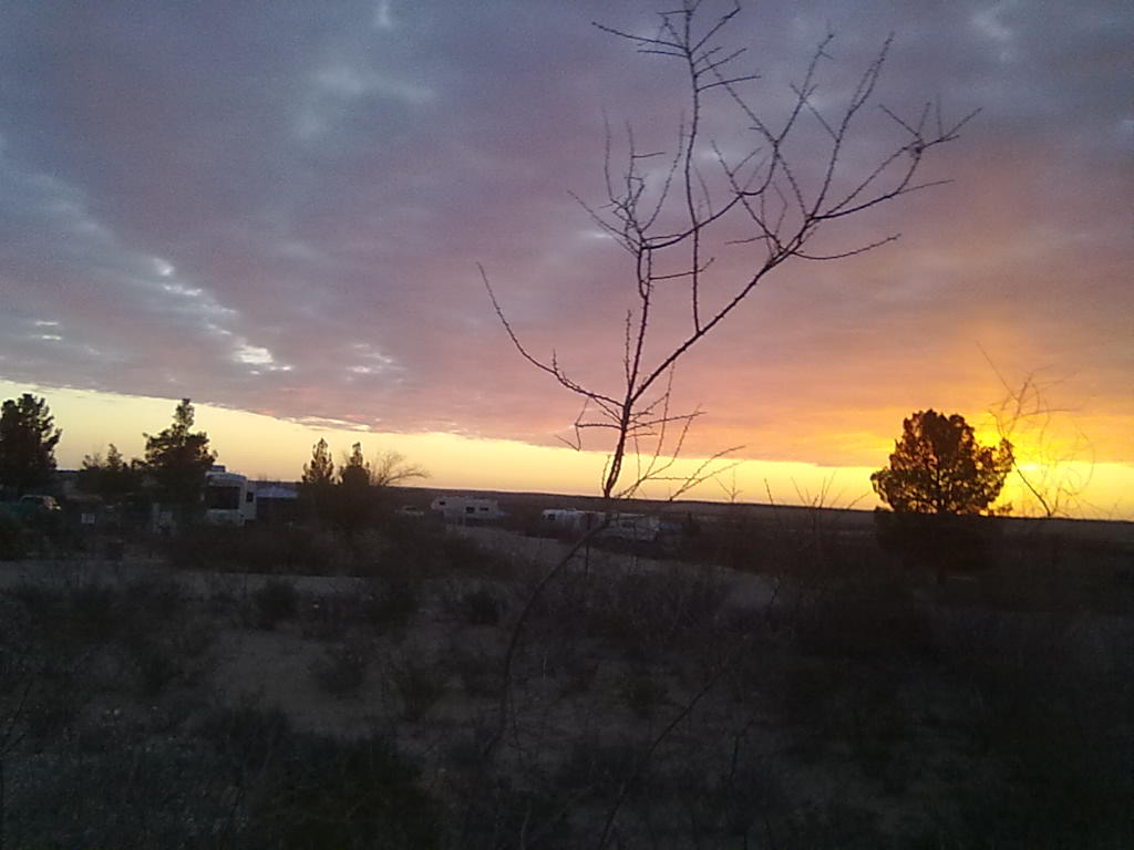
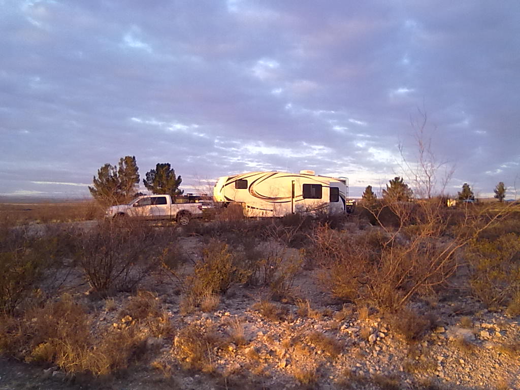
From Fort Davis Motor Inn RV Park

From Fort Davis Motor Inn RV Park

From Fort Davis Motor Inn RV Park


Sunrise over New Mexico

10 03 2013
Brantley Lake State Park

Brantley Lake State Park

We’re just staying ahead of the cold front that dumped show on Colorado Front Range area and has scattered snow, ice and rain showers as far south as Ft. Sumner, NM. We passed through Ft. Sumner yesterday on our way toward Carlsbad. We’re just a few miles north of Carlsbad at Brantley Lake State Park. Along the way we learned that Ft. Sumner is “famous” for being the last resting place of Billy the Kid. The history of his exact gravesite and headstone is filled with gunfights, Pecos River floods, stolen markers and even two competing “museums”, each of which claim to have the authentic effects of the gunfighter. The web is full of wonderful information about The Kid, and we didn’t take the time to stop and pay for admission to either of the museums. Leaving Ft. Sumner we continued south on Highway 20 for about 50 miles to intersect with Highway 285. This probably isn’t the optimal route for smooth roads – NM highway 20 is very rough, giving the truck and trailer suspension a good workout. Highway 54 directly to 285 would probably be a better option (but, you’d miss the Billy the Kid gravesite).

After a quick resupply stop at the Albertson’s in Roswell, we arrived at the State Park around 3pm. Surprisingly the campground was filling quickly with only 3 sites on the reservation loop (sites 1-30) and 6 or so on the first-come first-serve loop (sites 30-60) We’re in site #51. The sites all have water and electric hookups, a grill and covered picnic table. Set up on a bluff visible from 285, the campground would almost be completely surrounded by water during full lake conditions. But, with the amount of growth around the banks, this Pecos River impound hadn’t been at high levels in a long, long time. There is also a clean bathhouse, a group shelter and a kids playground in the center of the campground. The sites are spaced well apart, and with leaves on the trees many would be very private. The cellular service is the only down-side, on the Verizon network there is very weak 2G signal, on T-Mobile there is a fairly week 3G signal. We’d stay here again, but only during “non-work” time.

Brantley Lake State Park

Brantley Lake State Park

Brantley Lake State Park

Brantley Lake State Park

Brantley Lake State Park

Brantley Lake State Park

Today we’ll leave New Mexico and cross into the Central Time Zone of west Texas. We’re headed to Ft. Davis – more from there later.


Along Route 66

9 03 2013

Good Morning from Historic Route 66!

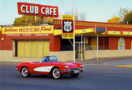
Club Cafe on Route 66

Club Cafe on Route 66

Route 66 is one of the original US highways, long before the interstate system was established, dating back to the 1920’s. The original route traveled from Chicago to Los Angeles passing through Missouri, Kansas, Oklahoma, Texas, New Mexico, and Arizona. Here in Santa Rosa, the route was a prosperous way point for travelers seeking their fortunate from the dustbowl of the Midwest to the anticipated relief of new growth along the west coast.

After departing Trinidad we’ve traveled almost directly south to Santa Rosa, NM. As seems to be the norm, winds over Raton pass and on to Las Vegas, NM were strong and gusty. Our normal fuel range of about 500 miles per tank dropped to just over 200 miles! Once we turned west on I-40 we had a tailwind, but only for about 40 miles. Our first stop was at Santa Rosa Lake State Park, about 15 miles north of I-40 along the Pecos River. Unfortunately all of the camping areas are down low along the dam and there is absolutely no cell service. We opted to move back to town for cell coverage and WiFi. We’re parked at Santa Rosa Campground & RV Park, right on Route 66 and only a few blocks from I-40 exit 275. This former KOA park is in fairly good shape. The sites are mostly level offering water and electric along with optional cable TV and sewer. In the main office building is a laundry facility and shower house, the outdoor pool and a BBQ restaurant. Their baby back ribs were sizeable portions, and the baked beans were awesome. The restaurant was quiet, as there are only about 12 rigs in this 60 site park. They also offer delivery service to your site. The cell coverage here is good, their WiFi spotty and slow. Their advertised 100MB isn’t close – the best I could achieve is just under 1MB in a speed test and about 200K on a long download or streaming Hulu. The T-Mobile service is a strong 4G signal

Santa Rosa Campground & RV Park

Santa Rosa Campground & RV Park

Santa Rosa Campground & RV Park

Santa Rosa Campground & RV Park

The weather maps from Denver and Albuquerque are quite colorful with various storm watches and warnings. The website from home is already noting about 3 inches of the white stuff – with estimates of up to 18”. We’re glad to be south of the storm, and only encountering the winds along the edge. Tomorrow we’re headed to another New Mexico State Park, Brantley Lake just north of Carlsbad. Cellular service *appears* to be good, but we’ll have a backup of another RV park in Carlsbad available just in case.

More from Southern New Mexico!


Trinidad Lake State Park

8 03 2013

Good Morning from Trinidad and the start of the 2013 Texas Road trip!

Trinidad Lake State Park

Trinidad Lake State Park

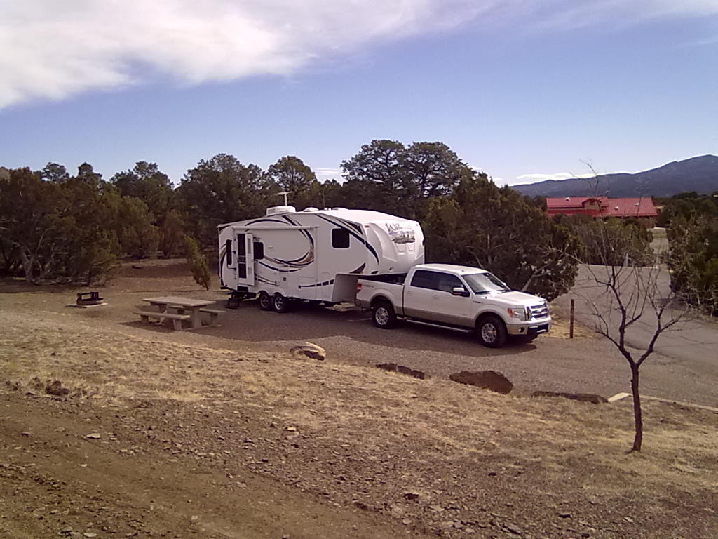
After a late arrival last night we’ve awakened to clear, sunny skies at Trinidad Lake State Park. We’re in site #6, our favorite full hookup site. There are plenty of more private sites, but those only have electric. We needed the water hookup to make it easier to de-winterize the trailer, clearing out the “pink stuff”. It’s chilly this morning, around 30 – but headed for a high of nearly 60. This site has a slight downward slope which is ideal because the trailer doesn’t have to be unhitched. There’s an uncovered picnic table and a fire ring in the site. The hookups are top-notch, each in a clean, gravel filled enclosure. The water pressure is low, but we’re using the fresh water tank so other than a slow fill, things work fine.

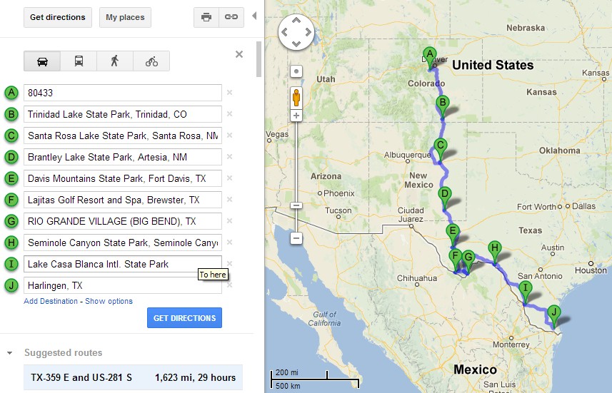
We’re headed out of what appears to be a fairly major winter storm around the Denver area. Local (Colorado Springs) TV stations are forecasting up to 14” of snow along the front range. Even here in Trinidad there is a chance of snow tonight and tomorrow. But, we’re headed for Santa Rosa, NM where the forecast is for windy travel and a 30% chance of rain tonight and tomorrow morning. Hopefully we’ll miss the cold temps and snow! After Santa Rosa we’ll make 1 more stop in New Mexico before crossing into Texas. We’re planning to be in the Ft. Davis area by Sunday. We’ll spend 3 or 4 days around Ft. Davis before we continue south toward Big Bend National Park.

Texas Road Trip 2013

Texas Road Trip 2013

More from New Mexico!