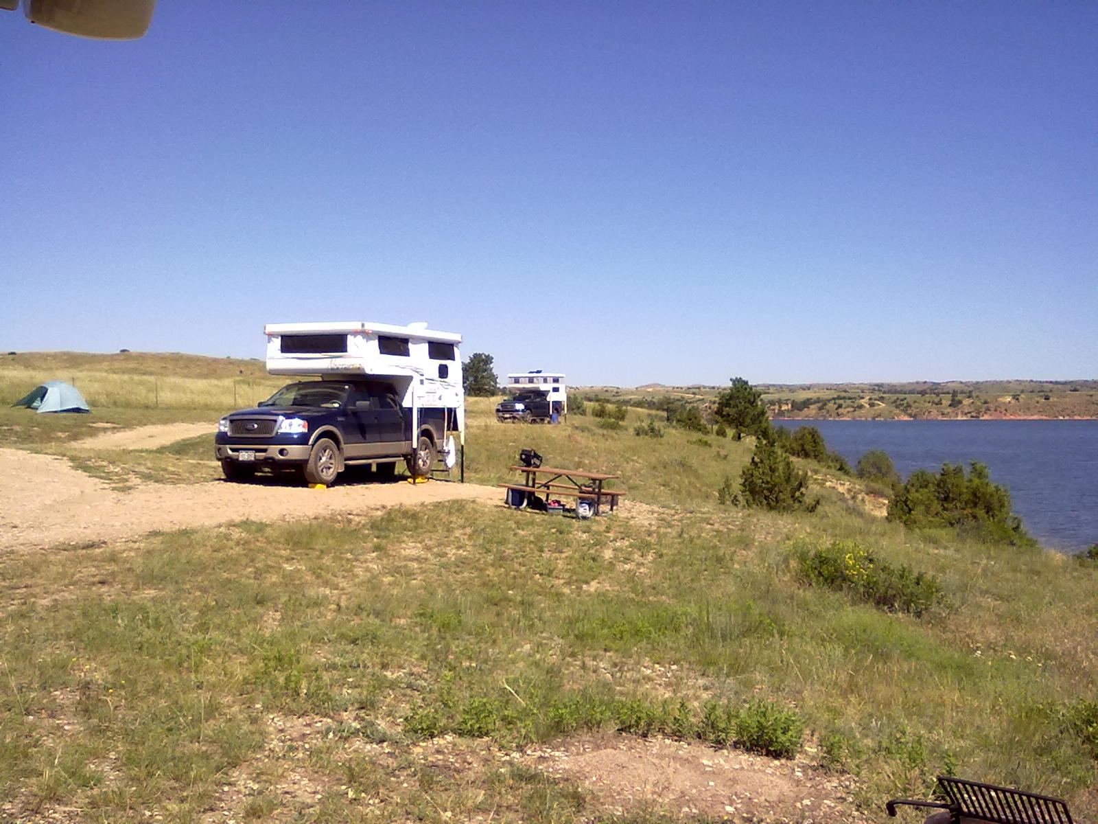
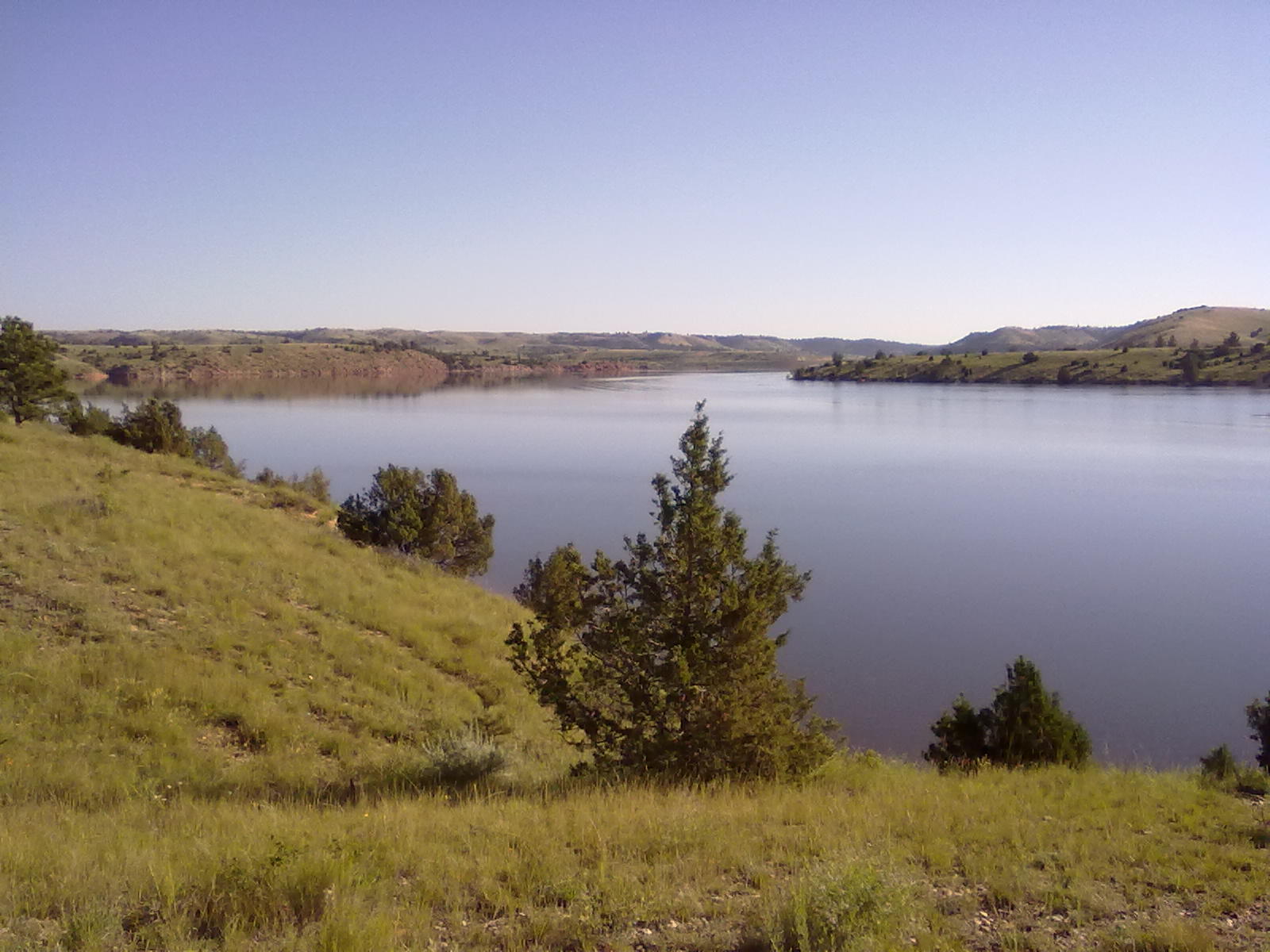
Meadow Ridge, Rampart Reservoir

9 06 2012

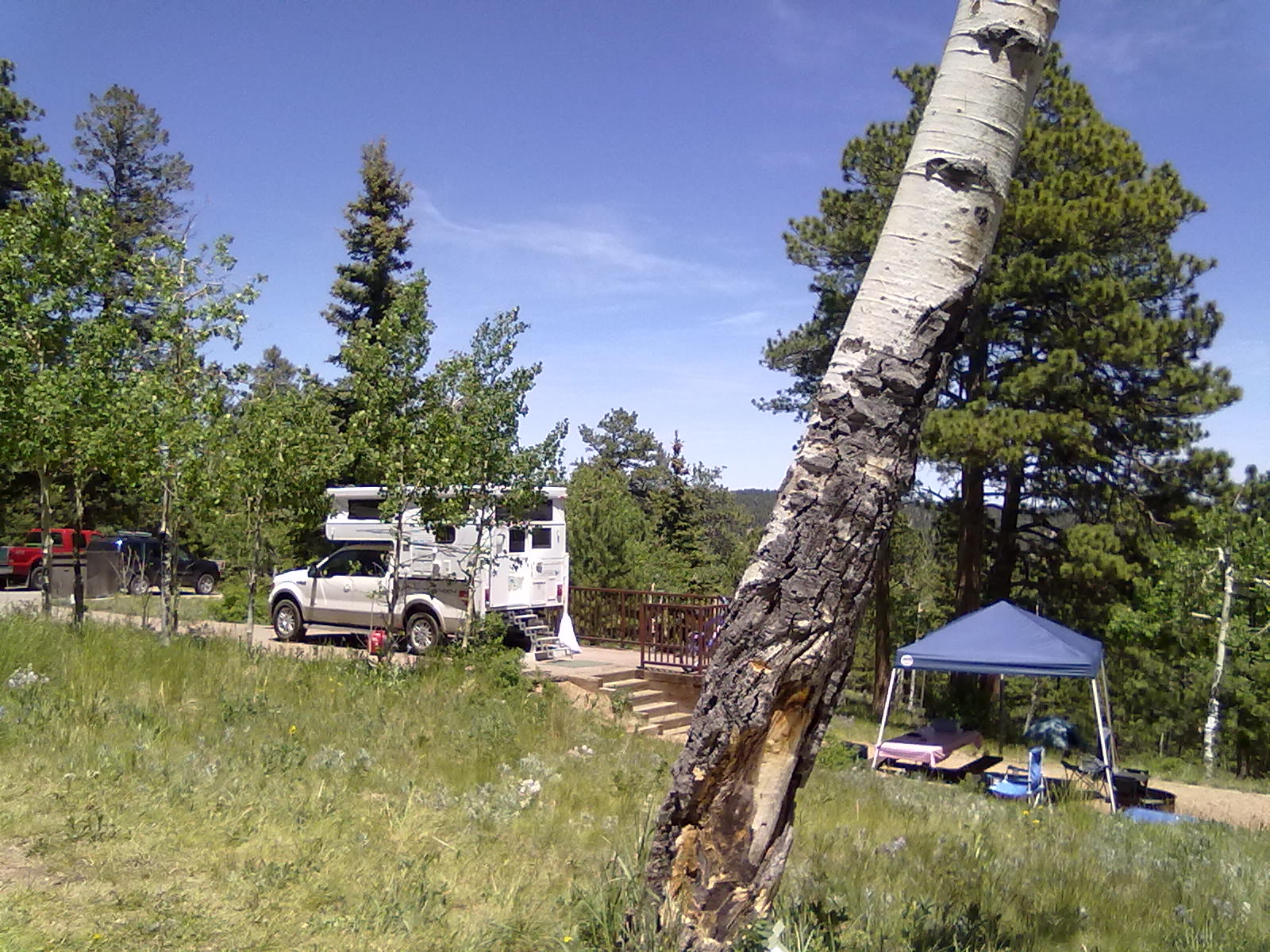
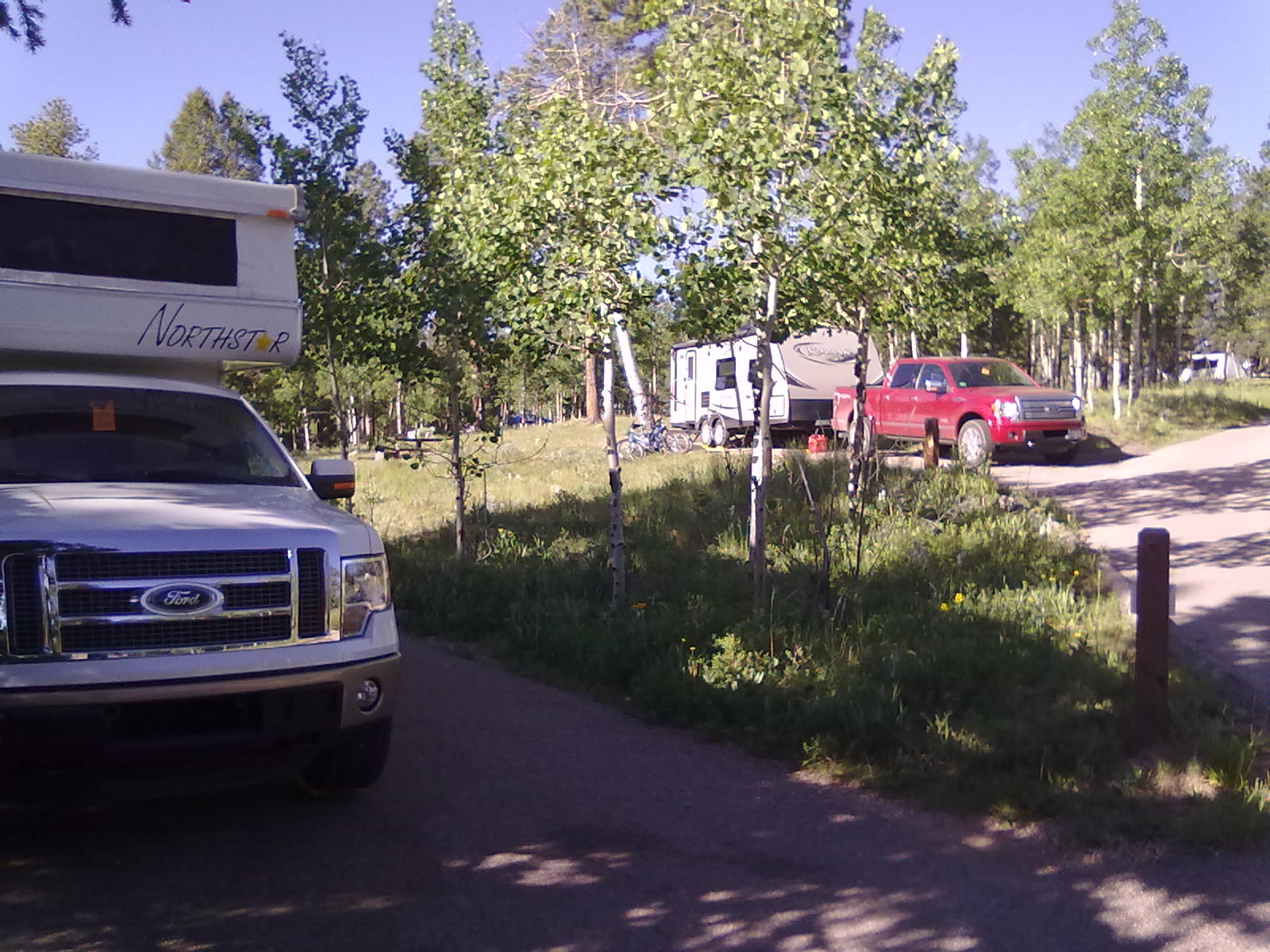
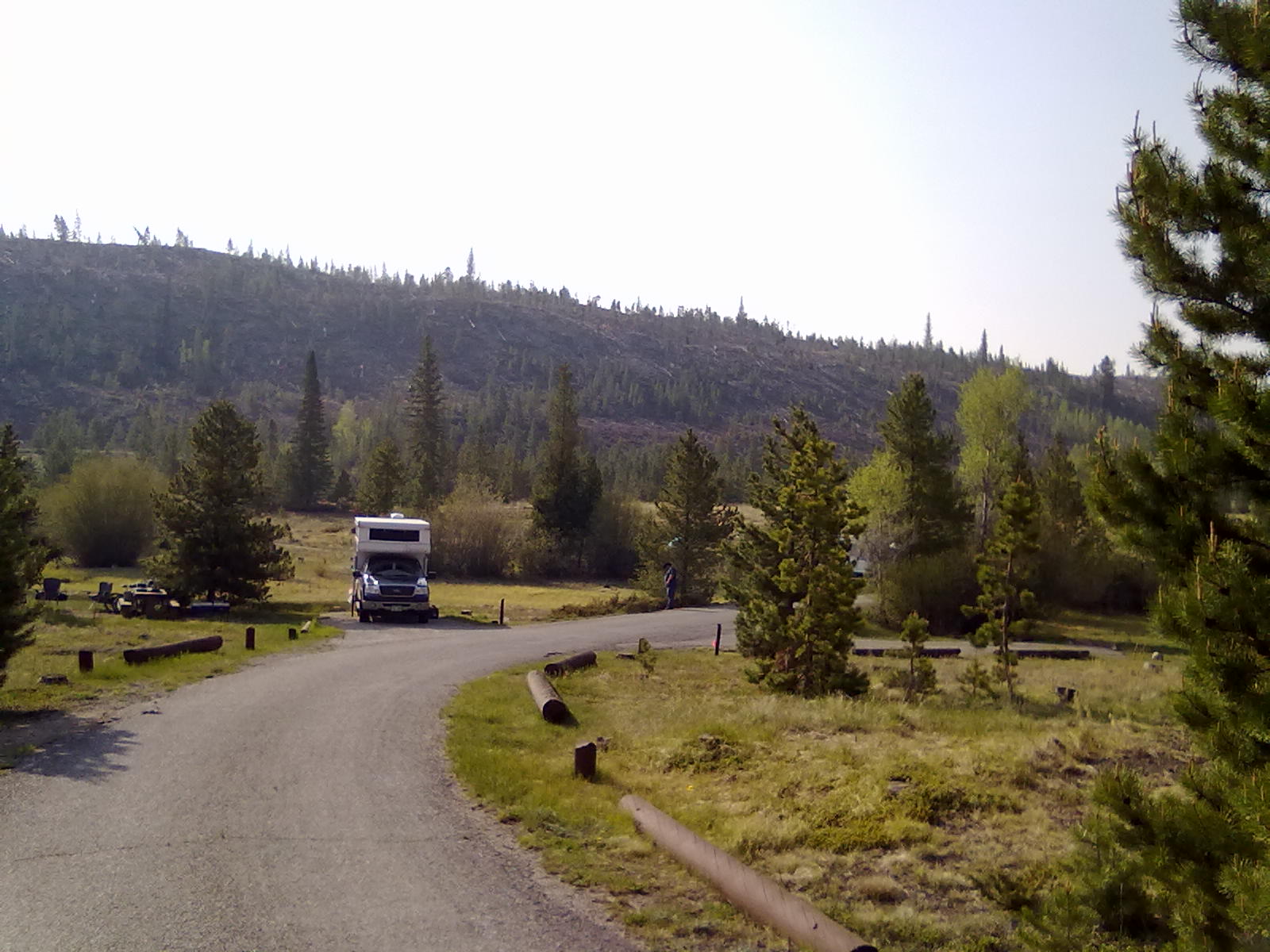
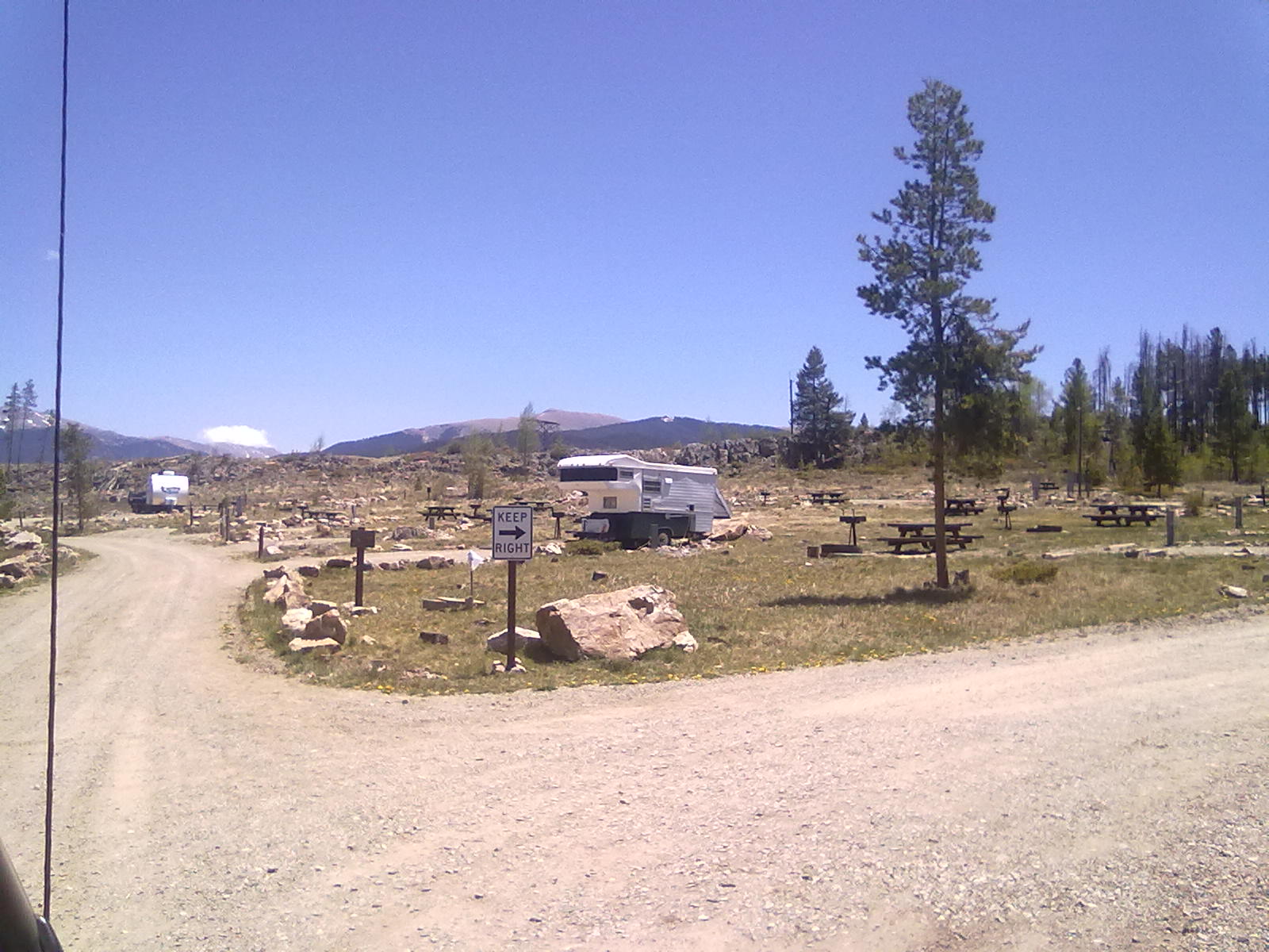
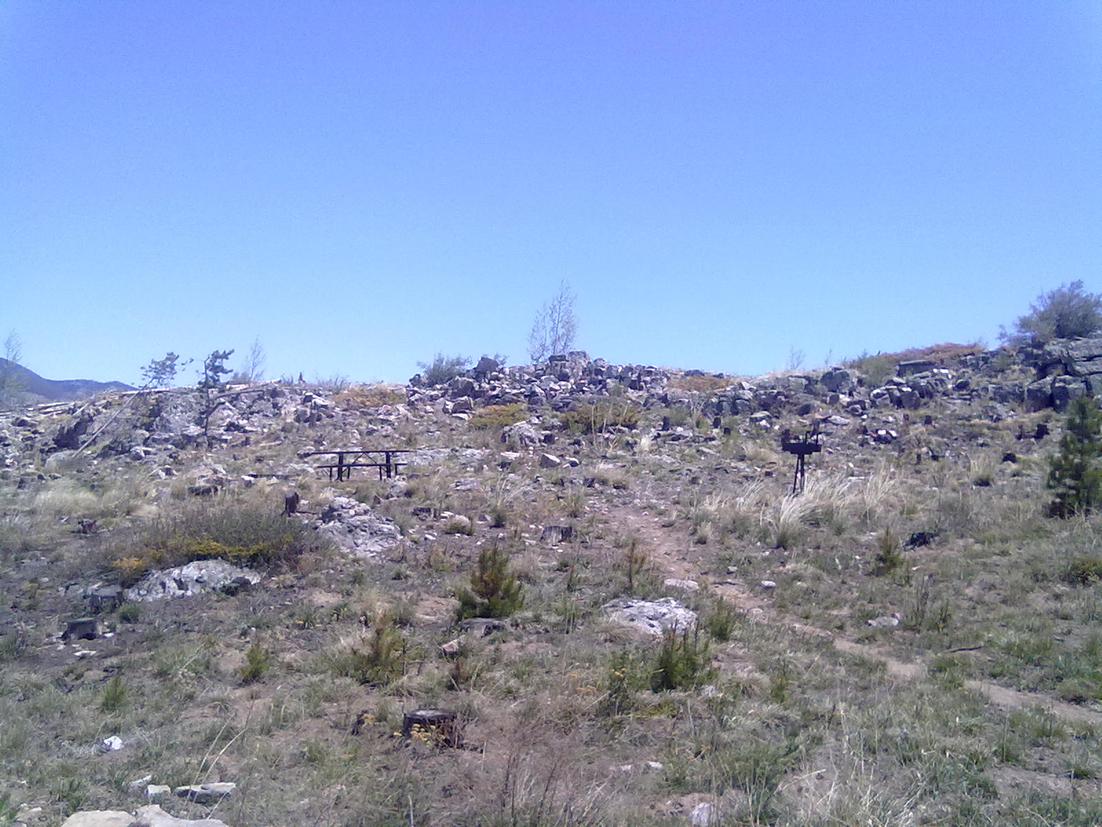
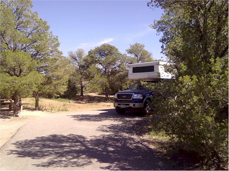
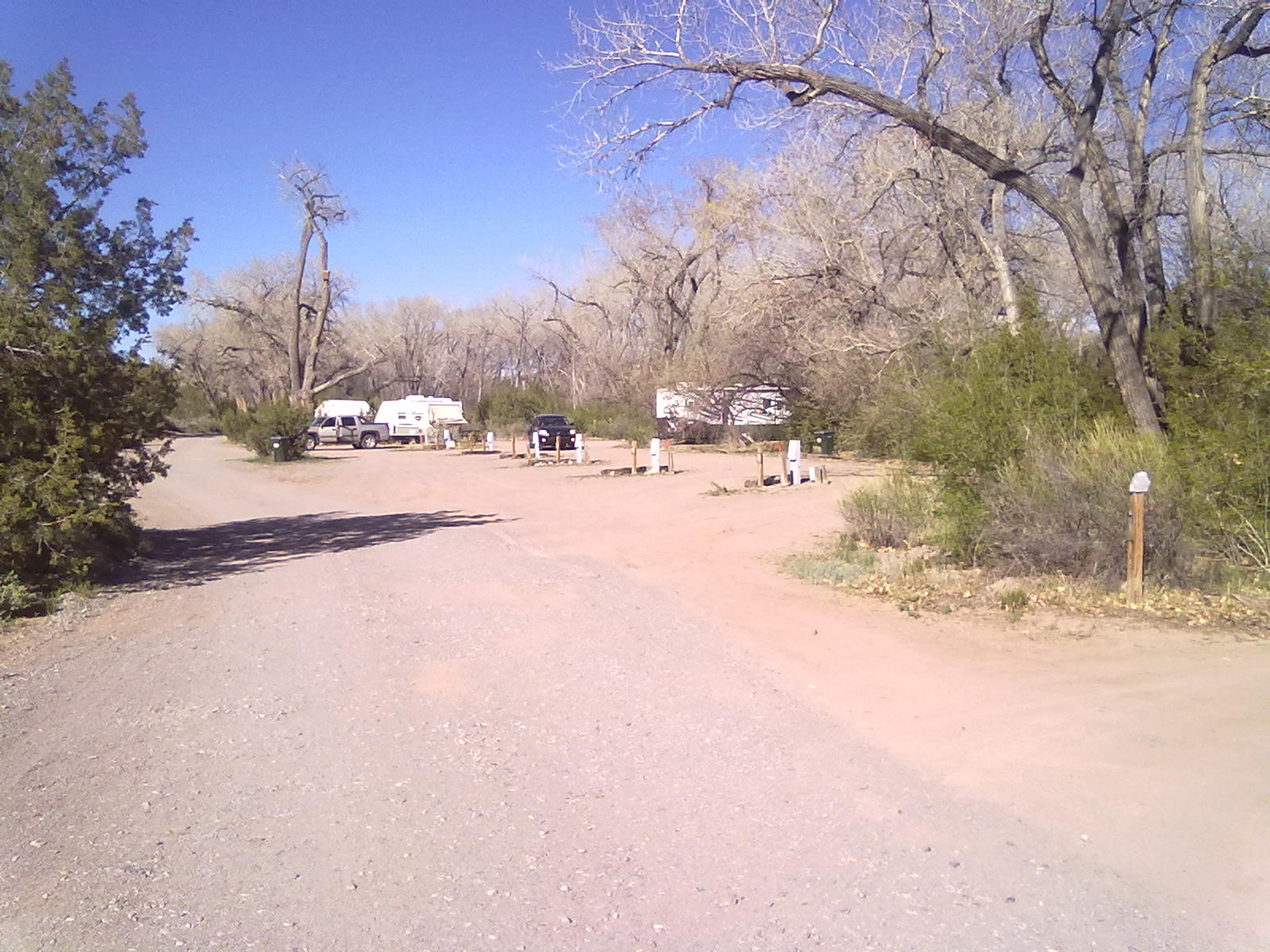
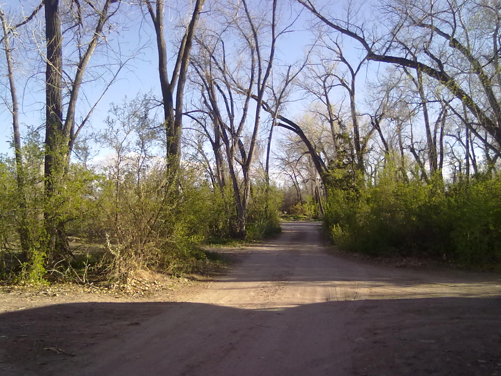
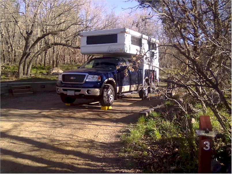
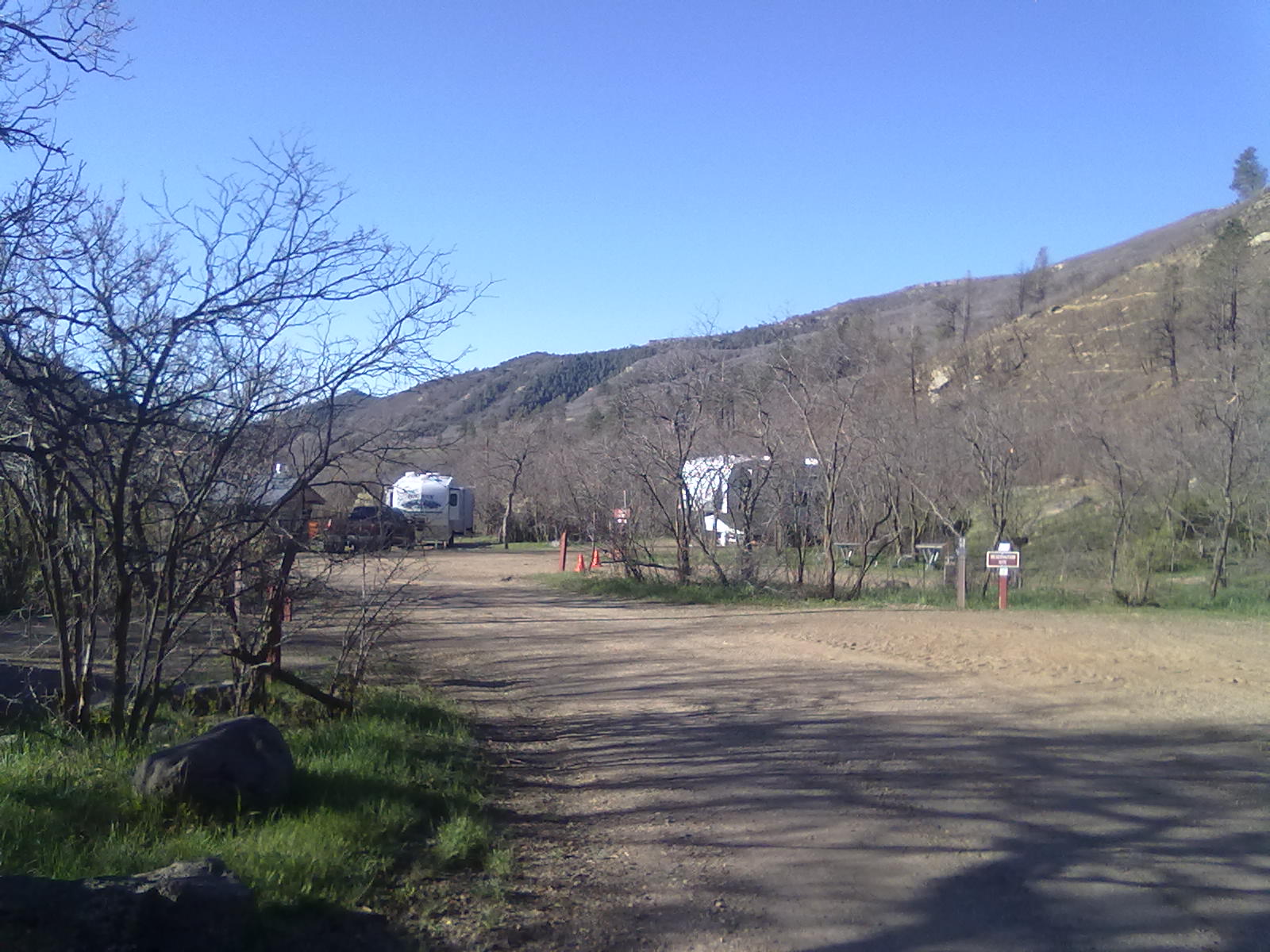
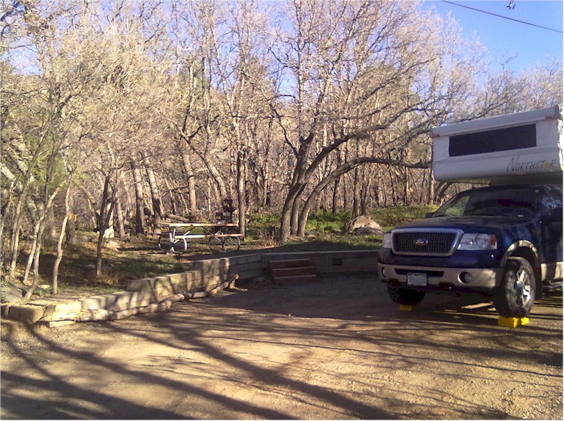
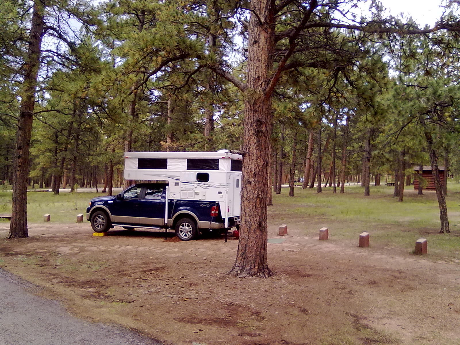
Views from Rampart Range RdIn a long planned weekend camping trip, we’re at Meadow Ridge federal campground just NW of Woodland Park, CO.  This is a smaller campground with only about 20 sites around a single loop.  The sites are nicely spaced and an abundance of long needle pine and aspen trees provide good privacy for most.  We’re in site #10, a very level asphalt pad about 25 feet deep.  The pad is elevated and enclosed on one side and the back with a fence which could prove troublesome to larger rigs.  At the rear of the pad are 6 or 7 steps leading down to a gravel picnic table and fire pit area.  Our friends are next to us in site #9 that has only 3 steps down to the picnic table & fire pit area.  Without the safety fence this site is more “big-rig” friendly.  Their F-150 pickup and 27 foot Kodiak camp trailer just fit on the pad.

Having called the forest service yesterday, we confirmed that campfires would be allowed and potable water was available.  Upon arrival and after checking in with the campground host, we inquire as to the location of water.  She tells us there is no water available.  They have water at the pump, but they have not tested the water or the distribution system this year.   So, we drop off the bikes and some camp gear and make the trip back toward Woodland Park.  It’s a fairly short trip, probably only about 12 miles each way.  However, about 4 or 5 miles is on a rough, dusty, dirt road. Arriving back at our site about an hour later, we’re ready for some cold beverages and relaxing.

Site #10, Meadow Ridge

SIte #9, Meadow Ridge

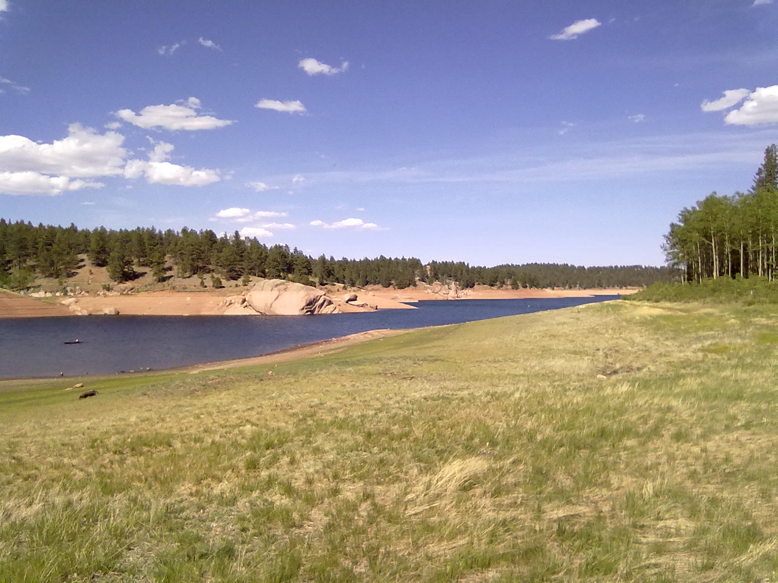
Rampart Reservoir

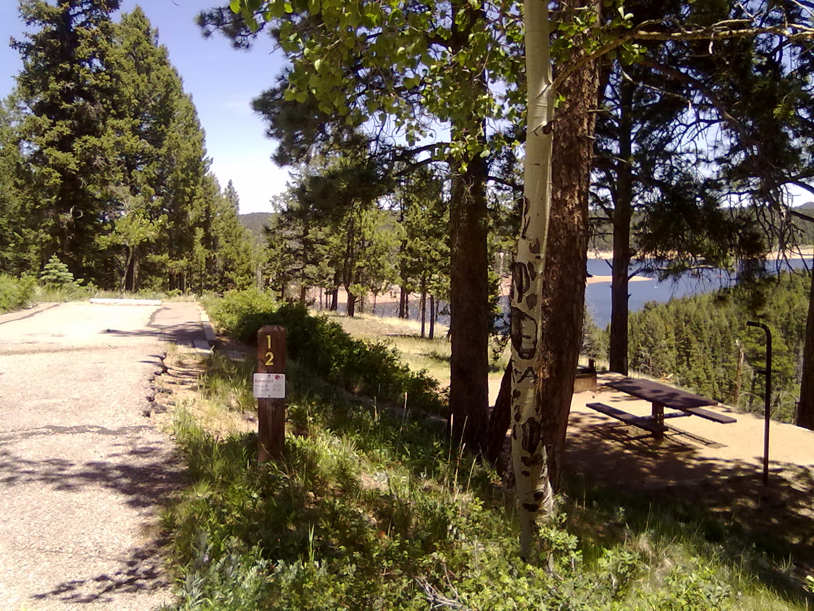
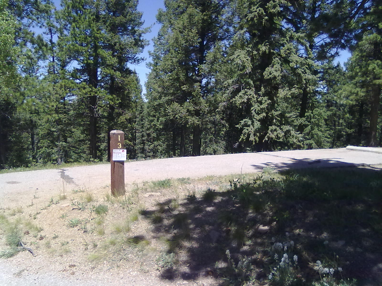
On Saturday we bike over to Thunder Ridge campground, just down the road from Meadow Ridge. Campsites #12  & #13 offer great privacy and views of the Rampart Reservoir.  Returning to camp, we explore the area a bit more on a hike down to the reservoir on a steep, short trail.  On Sunday we enjoy breakfast, pack up and head home.

Site #12, Thunder Ridge

Site #13, Thunder Ridge

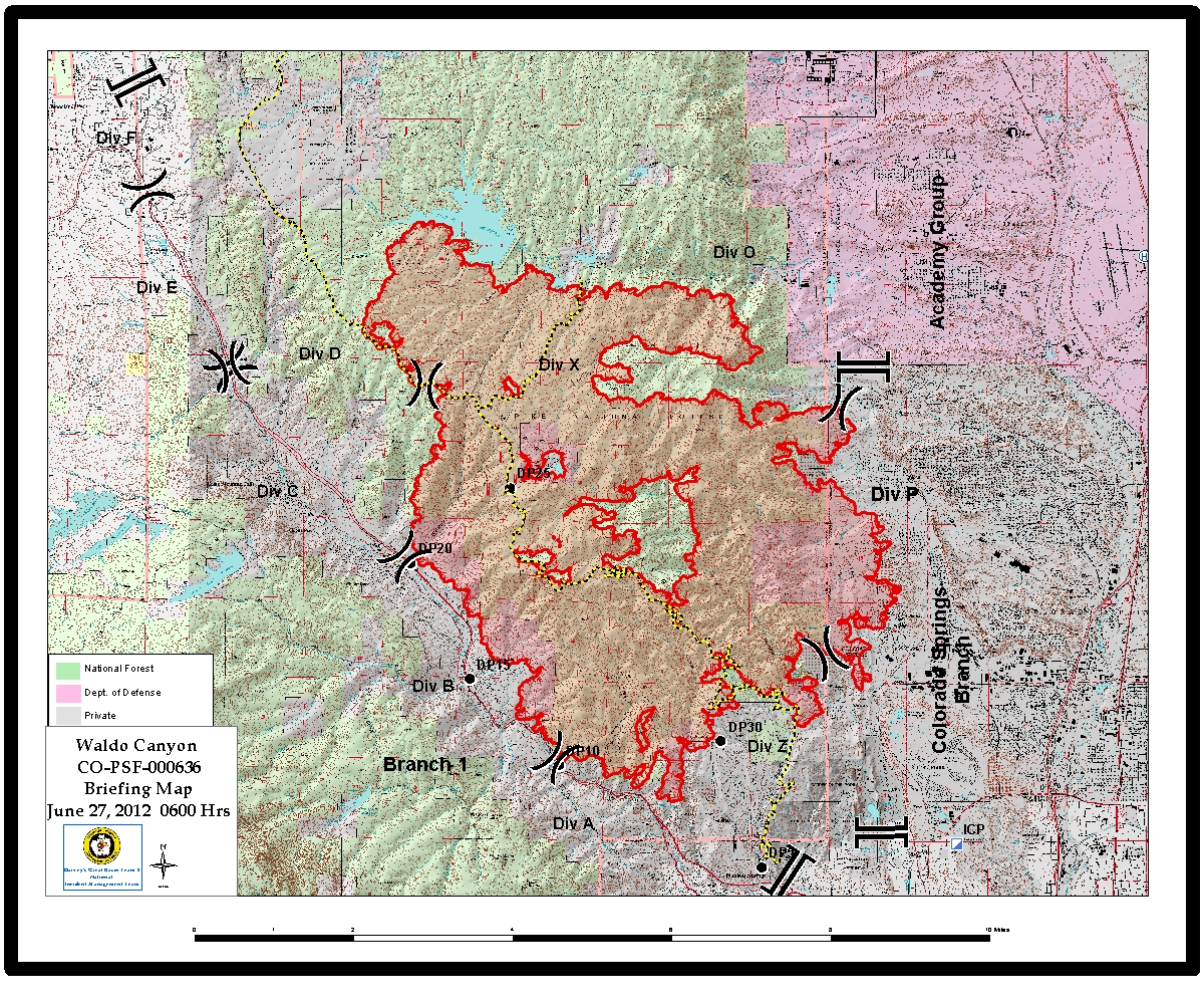
EDITORS NOTE:  On Saturday, June 23rd, the Waldo Canyon fire started between Manitou Springs and Woodland Park.  By Wednesday, after burning nearly 18,000 acres it appears that the campgrounds of Meadow Ridge and Thunder Ridge have both been consumed by the fire.

Waldo Fire, June 27th


Happy Memorial Day 2012

29 05 2012

We’ve spent the Memorial Day weekend camping on the shores of Lake Dillon. The Peak One campground is on the Frisco peninsula just beyond the Frisco marina. It’s about a 20 minute bike ride down smooth bike paths or about a 30 minute ride around the lakeshore hiking trail to Frisco’s Main Street. Peak One has 79 sites, and during summer months offers running water and flush toilet facilities. For this early weekend, the water has been shutoff due to several leaks in the system.

Site #70, Peak One

Our site #70 is at the end of C loop only a few feet from the shore of Lake Dillon. The site has quite a few trees, considering the effect the pine beetle has had all over Summit Country. The entire hillside to the south of us is nearly cleared of the former heavy pine forest. And, many of the sites in the B loop have no trees at all. Between our site and #71 (which is blocked with the temporary porta-potty) is a trail that leads east to the water’s edge before doubling back and running the full length of the lake nearly to the marina. Just before reaching Highway 9, the trail ends in a residential area where it’s easy to access on the Breckenridge/Frisco bike path. Closer to site #69 is another trail that leads across to the Pine Cove “campground”. The use of “campground” for this facility is questionable – it’s really just the old parking lot that was used when the boat ramp was opened. Closed due to Denver Water invasive species regulations, the long narrow parking lot has been renumbered for camping use – about 10 RV sites and 6 tent sites.

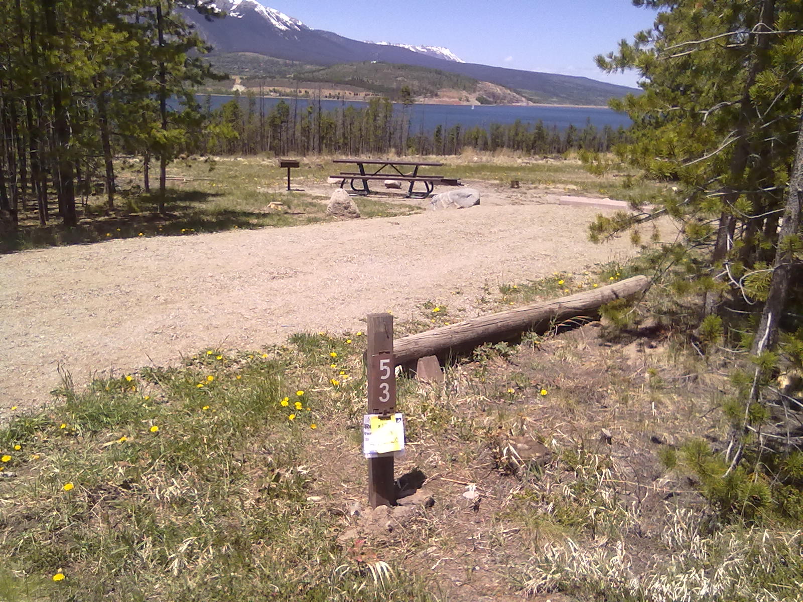
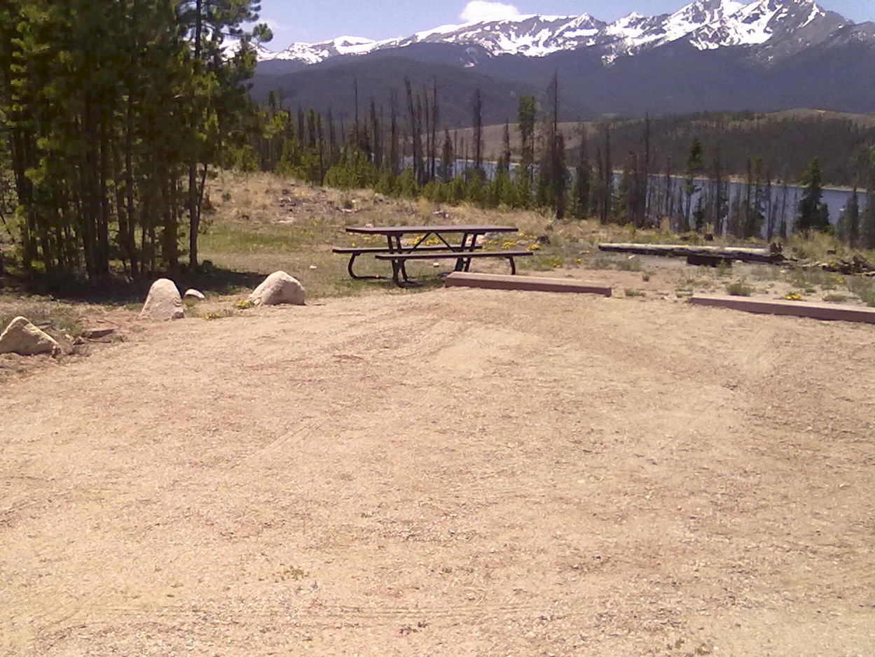
The next closest campground is Heaton Bay, located along the Dam Road, and very close to I-70. This 83 site area is organized around 4 loops, with the “C” loop providing electric and water hookups. We filled our RV water tank here. On the opposite side of the lake, along Swan Mountain road is Lowry campground. This 24 site area provides vault toilets, electric hookups at sites 2-24 and no water. Lowry has been ravaged by the pine beetle which has eliminated nearly all vegetation and privacy in this ‘rock-pile’ campground. Also along Swan Mountain road is Prospector campground, offering 107 sites, water and vault toilets. Organized around 5 loops, the “D” loop provides a few outer campsites with trees and views of Lake Dillon. Pull through sites #55 and 58 and back-in sites #53 and #62 would be best here.

For trees and privacy, Peak One is best, followed by Heaton Bay (which may have I-70 noise) and then Prospector. All of these Lake Dillon campgrounds need renovations in their water systems, roads and out buildings. Unless you specifically want to be close to Frisco, Dillon, Breckenridge, Silverthorne or Keystone, there are much better camping options in the Colorado high country.

Pine Cove ‘parking lot’ Camping

Lowry Campground

Lowry Campground

Site #53, Prospector Campground

Site #64, Prospector Campground


Back in Colorado

23 04 2012

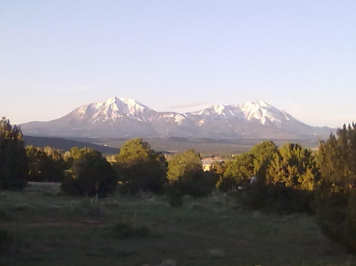
Spanish Peaks

After exploring a bit of the northern New Mexico area, we’ve returned to Colorado.  Following what was an alternate route from the historic Santa Fe Trail, we’ve traveled along the eastern bank of the Rio Grande and crossed La Veta pass on the Taos Trail.  A major landmark on both trails were the Spanish Peaks.  These two (13,000+) mountains are visible from as far away as Colorado Springs to the north, Alamosa to the west and Raton, NM to the south.  Early Ute Indian settlements called the mountains Huajatolla (pronounced Wa-ha-toy-a), meaning “two breasts” or “Breasts of the Earth” for the clouds and life giving rain that came from the mountains.  

In the valley below Spanish Peaks is Lathrup State Park, the oldest state park in the Colorado system.  Two small lakes at Lathrup (Martin and Horseshoe) make the perfect backdrop to 4 campsite loops.  With over 100 sites ranging from primitive tent sites up to 50amp “Big Rig” sites, there are plenty of great private,  sunny sites. 

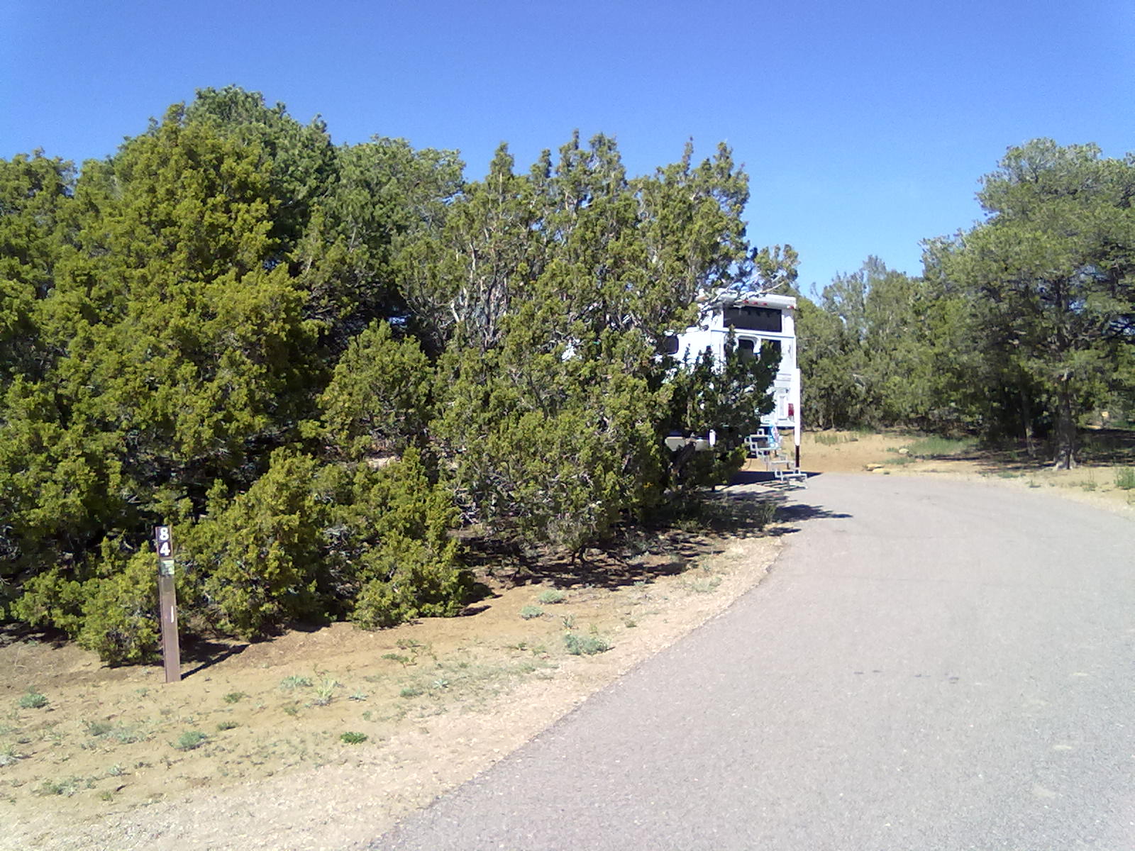
Site #84 Lathrup State Park

We’re parked in site #84, on the D loop.  This outer site is a long, nearly level pull-thru site.  The RV sites all offer electric hook-ups, but water taps are scattered throughout the park.  Some sites are close enough that you could stretch a hose across for water, but you might get a warning from a park ranger to “share” the water.  Each loop has a handicap accessible campsite or two and modern, clean shower facilities.  There is also a dump station on the main road into the campgrounds. 

Site #84 Lathrup State Park

Apparently no over-the-air TV signals make their way from Walsenburg, but the cellular coverage on both T-Mobile and Verizon was full bar-2G.  It’s very quiet in the park this Sunday afternoon, we have only one other neighbor on the D loop.  After wandering through the park, enjoying a tasty dinner and some (downloaded) TV, we’ll plan to head home tomorrow morning.  It’s been a fun “New Mexico Loop” trip.


We’re in Hot Water

22 04 2012

Greetings from Ojo Caliente (literally translated means “warm eye”, but more commonly known as “hot springs”) New Mexico. 

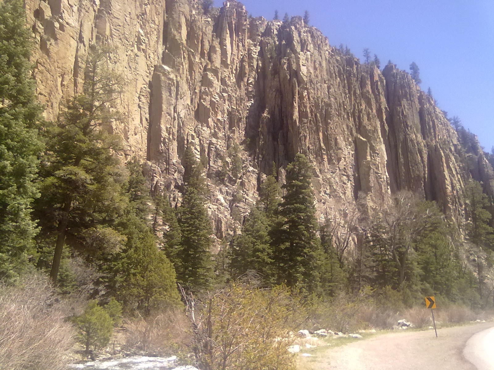
Cimarron Canyon State Park

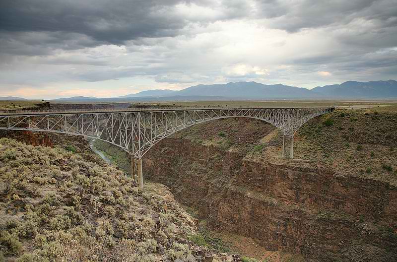
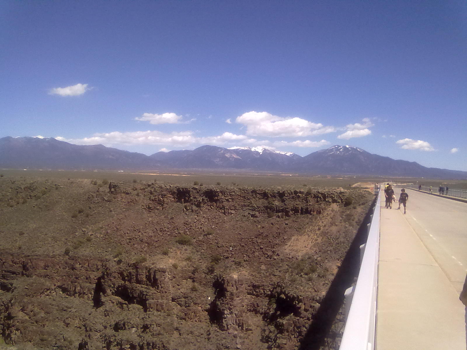
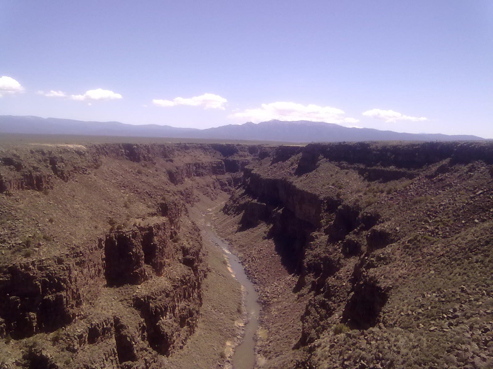
Yesterday’s trip from Sugarite Canyon to Ojo Caliente took us through some beautiful country including Cimarron, Eagle’s Nest, Taos and across the arid Taos Plateau sliced in half by the Rio Grande Gorge.  We crossed over the Rio Grande on an impressive bridge 650 feet above the river, making it the 5th highest in the nation.  The 1st is the Royal Gorge Bridge in southern Colorado, 1053 feet over the Arkansas river.  Between Cimarron and Eagle’s Nest, there were a number of federal and state campgrounds that would be worth further investigation.  One that looks most promising is Maverick Campground, located within Cimarron Canyon, a New Mexico state reservation area.

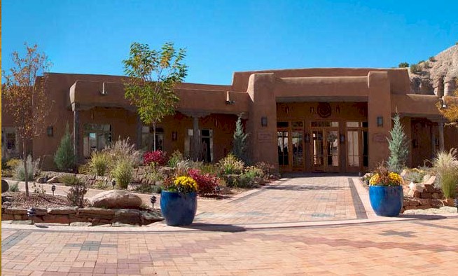
Ojo Caliente Mineral Springs Resort & Spa

Continuing west, we arrived at Ojo Caliente Mineral Springs and Spa located about 50 miles north of Santa Fe along highway 285.  The complex is much larger than we expected and dates back to the earliest human settlements in the region.  Ancient people build large pueblos and terraced gardens that overlooked the springs and named the area Posi, “village at the place of the green bubbling hot springs”. Spaniards exploring the region and questing for the Fountain of Youth renamed the area to Ojo Caliente in the 1500’s.  Even Zebulon Pike (of Pike’s Peak fame) wrote about the hot springs as he was marched to Santa Fe to stand trial for exploring New Spain without permission.  In 1868 the a natural heath spa in Ojo was one of the first in the country.  Since that time the historic buildings have been restored and maintained and many new buildings added to the complex. 

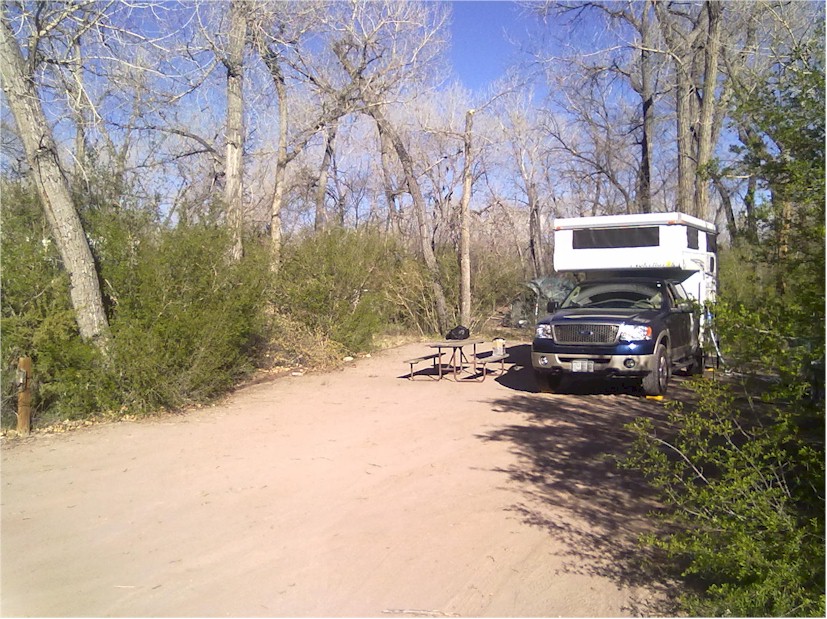
Site #1 Ojo Caliente

The RV campground is located along the river, and appears to be either a ignored asset or a work-in-progress.  There are 30 sites, ranging from very tight, side-by-side arrangements to those that offer a bit more privacy with tree and shrub coverage.  Most have electric and water hookups and a movable picnic table.  Campfires are strictly forbidden in this overgrown cottonwood grove.  Other facilities (restrooms, showers, etc.) are provided in the main spa areas a couple hundred feet down the main access road.  There are also two fairly clean porta-potties, one on each end of the campground, available for after hour use.  Somewhere (we haven’t located it yet) is a dump station. We’re parked in site #1, closest to the main spa complex and can detect the weak WiFi signal provided in the main hotel and restaurant.  When able to connect, this free WiFi seems fairly fast. Cellular service is good on both T-Mobile and Verizon networks – but internet speed is fairly slow on the 2G network.  There is no through-the-air TV service.  We hope they continue to maintain/upgrade these RV facilities, they offer a great location and the benefits of the use of the spa facilities.  The electric/water sites are $20 (plus tax) nightly.  Spa pricing is $30 for all-day access on a weekend and $18 during the week. 

Rio Grande Gorge Bridge

Rio Grande Gorge


Good Morning from New Mexico

21 04 2012

After departing around 2pm yesterday, we crossed the state line into New Mexico and arrived at Sugarite Canyon State Park about 6:30pm. Located just 6 miles northeast of Raton, the park encompasses about 4000 acres of hiking trails around 3 lakes, one of which straddles the CO/NM border. In 2012 the Track Fire, which started at the top of Raton pass, burned about ½ of the park and forced closure for 4 months. Reconstruction is still underway on the upper campground, trail systems and erosion control damns and ponds.

Site #3, Alice Lake, Sugarite Canyon

We’re in site #3 at the Lake Alice campground. This is first campground along the canyon road after the park entrance, ranger station and visitor center. There are 14 RV sites here all with electric and water, some with sewer hookup. Several tent sites are located at the lower end of the campground. There are pit toilets and a dump station here, but for showers, you need to return to the entrance a little more than a mile down the canyon. Some of the sites (#3 and #4) offer great privacy, while others are just a wide spot along the main loop road. The sites are gravel, generally level and have a picnic table, a fire pit, large tent pads and a BBQ grill. All of the facilities appear to be well maintained and very clean. The camp host is quick to make introductions, tell us a bit about the park and collect the $14 overnight camping fee. ($10 day use and $4 camping) The day use fees can be covered by an annual pass – $225 for non-residents and $180 for NM state residents.

The modern conveniences stop with water and electricity here, there is no cable TV nor over-the-air signal that reaches this deep into the canyon. And, of course we’re without cell service, which means no internet, email or ability to work. We’ll have a leisurely morning without high-tech interruptions, stop on the way out for a hot shower and get closer to Raton for a quick email check as we head to our next destination – Ojo Caliente, NM. More from “Hot Water” this afternoon or in the morning.

Sugarite Canyon State Park


40th Anniversary Albuquerque Balloon Fiesta

10 10 2011

It’s been in the planning stages for months, finally on Wednesday we loaded up the camper and begin travels to Albuquerque for the 40th annual Balloon Fiesta. Spanning 2 weekends, 9 days total, Mass Ascensions are planned for mornings and Balloon Glows with fireworks in the evenings on both weekends. This year the schedule calls for a Special Shapes Balloon Glow on Thursday followed by a Special Shapes launch on Friday morning with the traditional mass launches and glows on Saturday and Sunday. We’ll spend one night at Trinidad Lake State Park before arriving in Albuquerque on Thursday afternoon.

The first weekend of the Fiesta opened to typical New Mexico fall weather, calm winds, abundant sunshine and temperatures in the low 80’s – perfect for flying balloons. Unfortunately by the time we leave Colorado, a cold front is approaching, threatening to bring wind, rain and colder temps to the entire mountain west. As we depart from Trinidad Lake State Park on Thursday morning, the front has arrived – temperatures have dropped nearly 20 degrees and strong winds make travel with campers and trailers difficult. Arriving in Albuquerque, winds and drizzle make it nearly certain that the evening Special Shapes glow will be cancelled. Friday turned out to be very cold and wet, with Mass Ascension and Balloon Glow cancelled. We did manage to enjoy Mass Ascensions on Saturday and Sunday plus a Balloon Glow with fireworks on Saturday. We departed Sunday afternoon with an intermediate stop in at Trinidad Lake before continuing home on Monday.


South Meadows Campground

18 09 2011


Double Site #52

Double Site #52

South Meadows is among the Federal campgrounds in Pike National Forest near Woodland Park, CO. Several campgrounds are found along each side of Colorado Highway 67 which connects to Highway 285 via Pine, Buffalo Creek and Deckers. This area was the origin of the worst wildfire in Colorado history when in 2002, the Hayman fire claimed 130 homes and buildings across nearly 140,000 acres of private, state and federal forests. A federal forest officer later was convicted of starting the fire.

South Meadow campground is set in a dense lodge pole pine forest to the west of Highway 67, just 5 miles north of Woodland Park. The campground is organized around a large loop that is split into 4 quarters and one “old” loop on the far south end. There are a total of 64 sites, most can be reserved with a few set aside for first-come, “walk-up” camping. There are 5 or 6 double sites, extra long pull-throughs that accommodate 2 camping units, up to 2 additional tents and a total of 16 people. Each site has a picnic table and fire ring. There are vault toilets and water hydrants scattered throughout the campground.

We choose double site #52, basically in the center of the campground. Another good double site is at the far NW corner, #32. On the far southern loop, appearing to be the original campsites, #13 is a good double and single sites #14 (pull-through) and #15 (back-in) are quite private and overlook the creek and meadow area.

On Saturday, we explored nearby Mueller State Park, about 10 miles west of Woodland Park. Mueller is one of the largest parks in the Colorado system with 132 campsites organized along a long ridge with loops to each side. The best sites appear to be on the very first loop, sites #1 – #5. Other more private sites would be at the end of the various loops, #45 &#46, #116 & #117. After exploring Mueller, we checked out the Woodland Park Oktoberfest before returning to camp.


A quick trip to Lake Pueblo State Park

21 08 2011

One of our favorite warm-water lakes, within about 2 hours of home, Lake Pueblo State Park is about 10 miles west of Pueblo, Colorado.  We’ve decided to make this a short weekend trip, down to the lake late on Friday afternoon and back mid-day on Sunday.

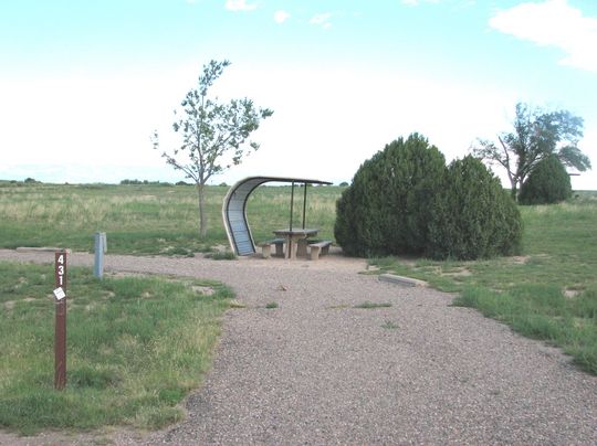
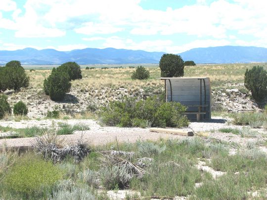
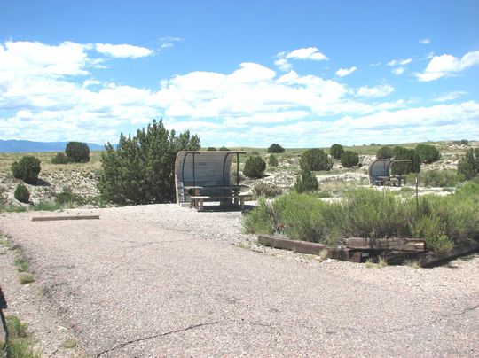
We’ve reserved spots #431 and #432 near the North Shore Marina in the Yucca Flats campground.  These electric sites are not optimal, but still fairly close to a small swimming cove.  They are also near non-electric sites in the Kettle Creek campground.  With our purchase of a generator this year, these sites are now possibilities.  Before we hit the water on Saturday we walk around Kettle Creek and spot a few possibilities.  On a small loop closest to the water, sites #524 through #529 are all possibilities.  Each has a fairly short driveway, so with the boat and jet-ski, an auxiliary “parking” site would probably be necessary.   The best site with a good lake view is #526.

After reviewing sites on Saturday we launch the boat and jet-ski about noon.  Today’s boating isn’t without problems – first, the boat failed to start. After pulling back up the ramp and a quick jump-start we were on the lake.  After making a few rounds to (hopefully) charge the battery, we anchor in a  quiet cove to enjoy the warm water.  About 30 minutes later we begin to wonder where our lone jet-ski rider has gone.  Shortly after that we receive a phone call – the jet ski had become swamped, had been towed back to the marina and needed a good draining.  With two on-water mishaps, we decided to chalk this weekend up to “experience”, returned to camp to watch a pre-season football game and headed home mid-day on Sunday

Yucca Flats Site #431

Yucca Flats Site #431

Yucca Flats Site #432

Yucca Flats Site #432

Kettle Creek Site #524

Kettle Creek Site #524

Kettle Creek Site #525

Kettle Creek Site #525

Kettle Creek Site #526

Kettle Creek Site #526


Back to Collegiate Peaks

1 08 2011

This weekend we’re once again headed to Buena Vista and the Collegiate Peaks campground along Cottonwood Creek.  We first camped at Collegiate Peaks last September, just a few weekends before it closed.  Located about 14 miles west of Buena Vista, CO – this primitive campground has about 60 sites situated along Middle Cottonwood Creek at 9800 feet.  The sites are organized along a main road and 4 outer loops.  Many of the sites are creek-side, and nearly all set in tall pines and willow trees.
Collegiate Peaks Music Festival 2011

This weekend is the Buena Vista Music Festival.  We’ve never been to this music fest, but might decide to check it out.

Arriving about 4:30, we hoped that at least one of the 16 first-come first-serve sites would be available.  We quickly found the campground host who we had met least year and found that unfortunately, all of the sites were already reserved or occupied.  He suggest we head back down the canyon toward Buena Vista and try to find a “dispersed” camping site.  These sites provide free camping in the National Forest, but don’t offer any amenities – no water, showers or even site markers.  These are basically four wheel drive paths that have been carved out between the main roadway and the creek.  Without site markers, there is no limit to the number of campers, tents or people who may end up in these areas.
Dispersed Camping along Cottonwood Creek

Dispersed Camping along Cottonwood Creek

Based on the knowledge that a site may become available at Collegiate Peaks, we decide to stay one night in the dispersed area.  We end up parking on a narrow driveway just a few yards off the highway.  Just as we make the decision to spend the night, the rain starts and soaks the tall grass, ground and encroaching trees along our driveway site.   By the time we find a somewhat level spot, relocated a rock fire ring that was in the middle of the path, set the truck jacks, and unpack a few items from the camper, we’re all soaked and questioning our decision to stay in this muddy “ditch”.
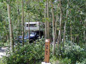
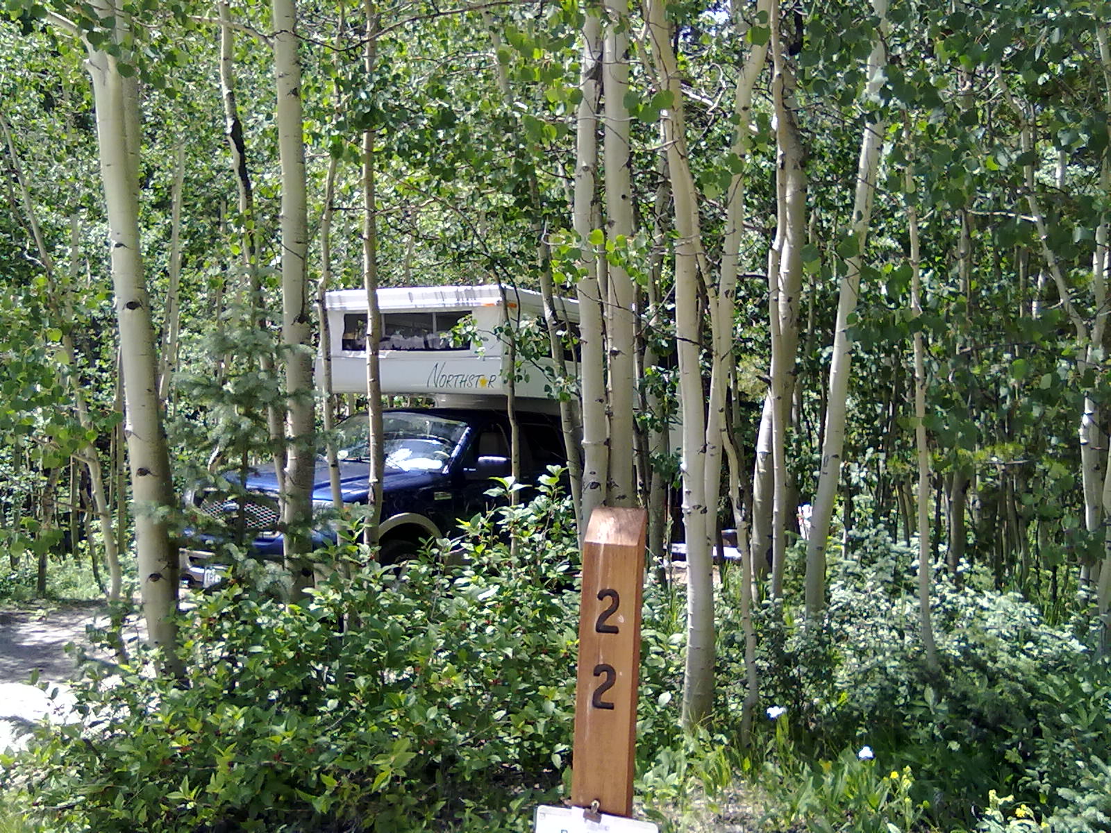
Collegiate Peaks Site #22

Collegiate Peaks Site #22

After a warm dinner, a few cold beers and a good nights sleep, our “ditch” looks much better in the warm sunlight of the next morning.  We’re planning to return to Collegiate Peaks around 10AM, based on the advice of the camp host.  Arriving at 9:59, we’re pleased to learn that a site will be available.  And, this isn’t just any site – its site #22!  Located along the main road, this site is beautiful.  Very private, deep and enclosed on two sides by creeks, this site was the #1 selection when we were here last year.  Score!  We quickly purchase the necessary camping tag, put our reserved sign on the post and head back to move out of the dispersed campsite “ditch”.
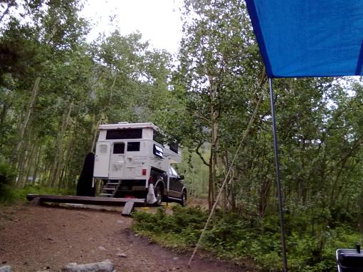
Collegiate Peaks Site #22

Collegiate Peaks Site #22Collegiate Peaks Site #22

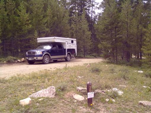
Sunday we’re planning to head over Cottonwood Creek pass to see Taylor Park Resevoir and some of the several campsites in the area.  But before heading over the pass, we decide to take a detour into Buena Vista, check email and pick up a few more supplies.  With our luck of snagging this great site, we’re going to stay 1 night longer, so we’ll need a bit more food and firewood.

The east side of Cottonwood Creek pass is paved while the west side, down to Taylor Reservoir, is unpaved.  The traffic headed over the pass on this Sunday afternoon is heavy, making for a slow, dusty drive.  Arriving at the reservoir, we first headed north along the west shore on highway 742.  There are two campgrounds in this direction, Rivers End is the first and located relatively close to the lake  on a bluff where Taylor River enters the Reservoir. To the north and east of Rivers End campground, sagebrush and tall grass stretch toward the mountains while to the south and west is the blue of the lake. Campgrounds, such as Dinner Station and Dorchester, well away from Taylor Park Reservoir, are tucked into forests next to rivers feeding the reservoir with sites offering views of prairies and mountains.

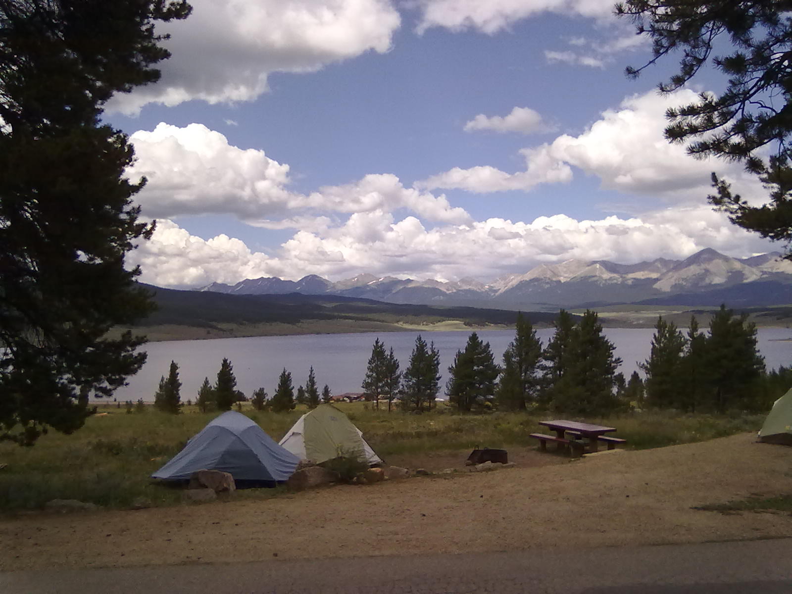
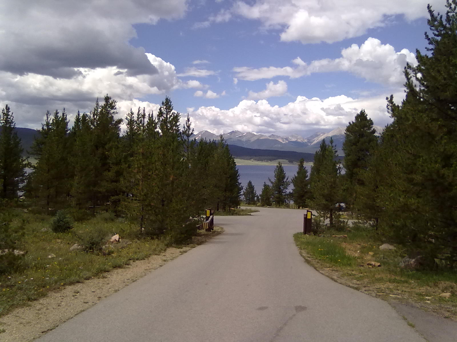
Heading south along the Resevoir, we come to the largest campground, Lakeview. Located well-above the lake and close to the lake’s only marina, these sites offers panoramic vistas of the Taylor Park Reservoir and the surrounding mountain ranges.  Most of the sites are deep, level, spaced far enough apart for privacy with picnic tables and tent pads. 
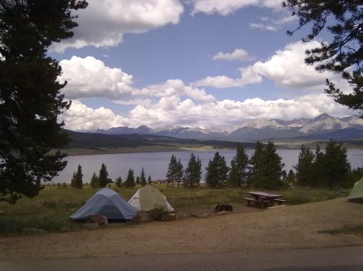
Taylor Park Reservoir - Lakeview campground
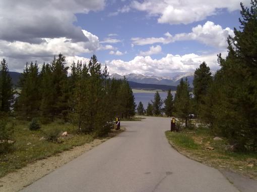
Taylor Park Reservoir - Lakeview campground
Taylor Park Reservoir - Lakeview campground

Taylor Park Reservoir - Lakeview campground

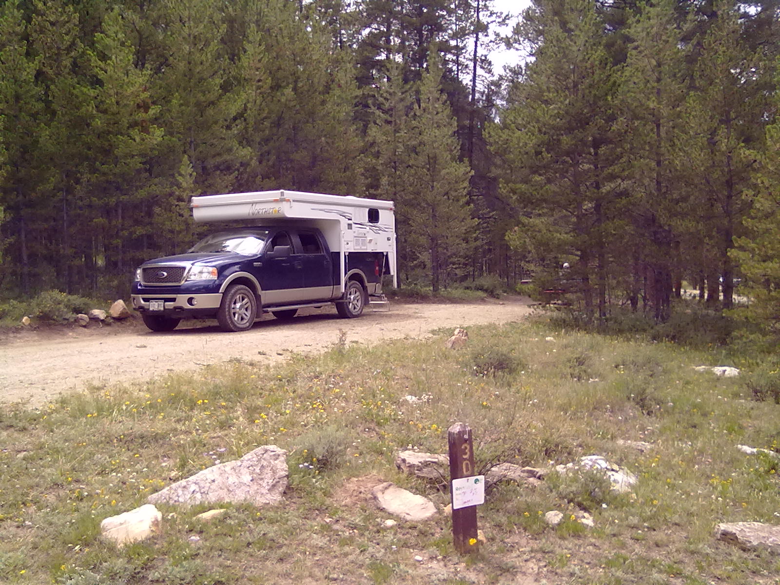
Taylor Park Reservoir - Lakeview site #30

Taylor Park Reservoir - Lakeview site #30

 Returning over the pass, we enjoy a quiet evening at Collegiate Peaks before heading home mid-day Monday.


Camping at the Tongue River Reservoir

18 07 2011
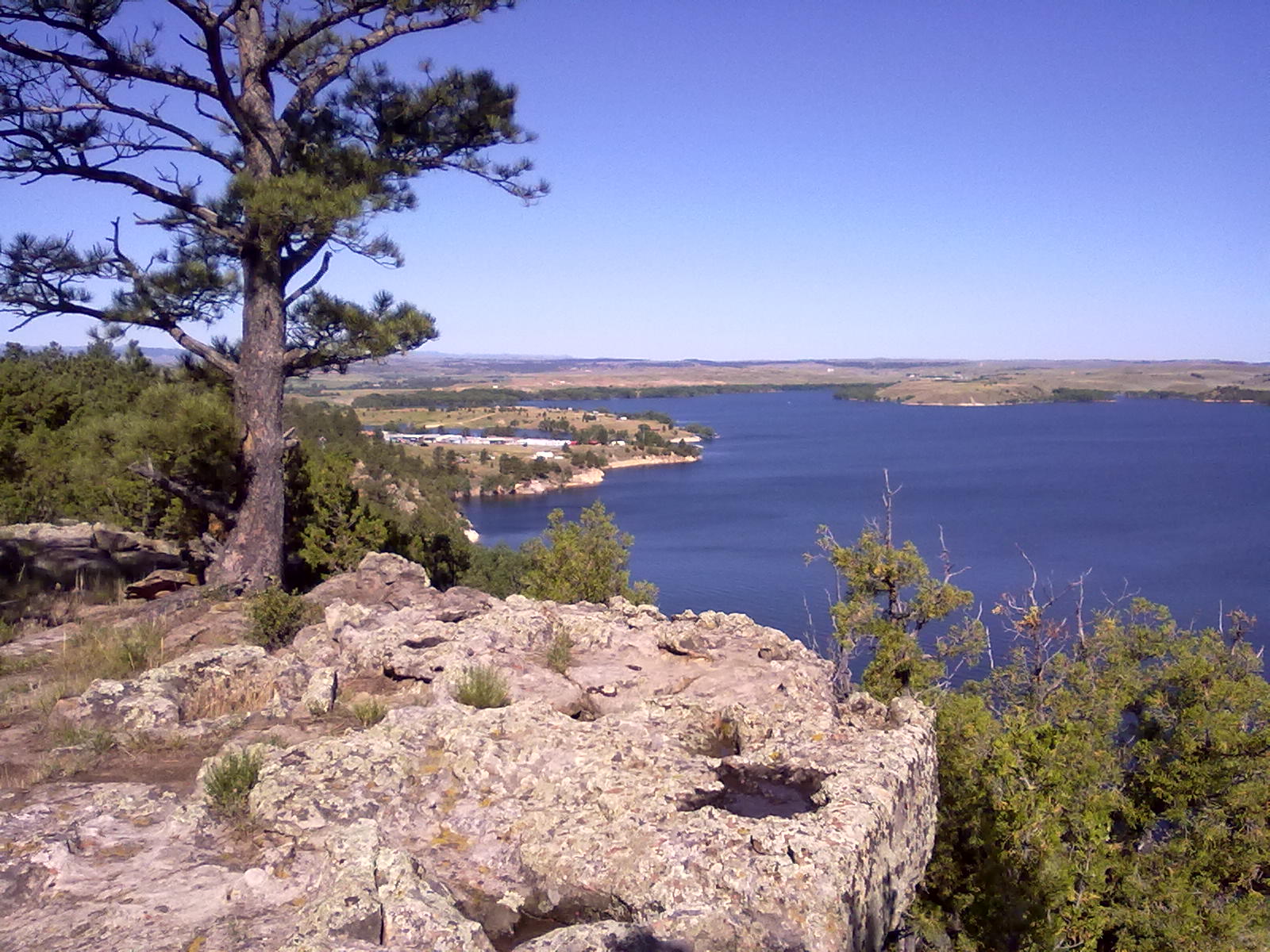
Lake Glendo, WY

Lake Glendo, WY

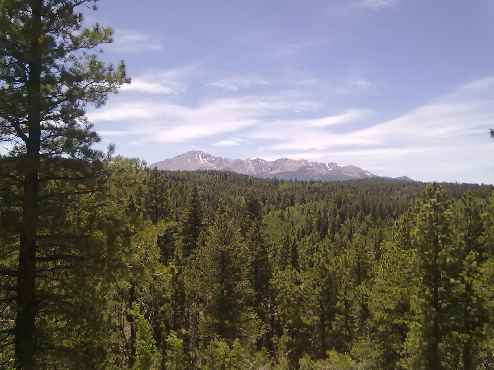
Last weekend found us at the Tongue River Reservoir in southern Montana.  About an 8 hour drive, we opted to take off late Wednesday night and travel part-way, spending a short overnight at Lake Glendo.  Arriving at Glendo about 10pm we found our favorite cliff-side site on the small loop, just in time for a big thunderstorm.  After setting in the truck for about 40 minutes while it poured, we leveled the camper while a friend set-up his tent while trying to avoid puddles, had a quick beer on the cliff and went to bed.  The next morning we were up early, checked email and headed north.  We arrived in Sheridan about 4pm, just in time to do a last minute email check before heading into the “weak-at-best” cellular coverage around the Reservoir.  As it turns out, CDMA cellular is spotty, but available.  T-Mobile didn’t work at all except just a few miles from I-90.  Verizon was available in various spots, with enough for text, phone conversations and very slow data transfer at our campsite. 
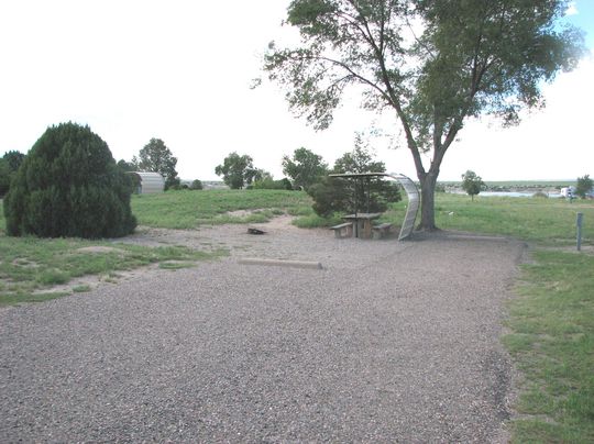
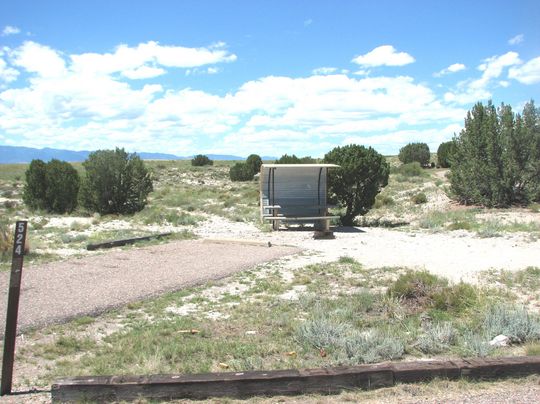
The Tongue River, with headwaters in the Big Horn Mountains of Wyoming, winds its way north before meeting the Yellowstone River at Miles City, MT.  The river’s name is believed to come from Native American languages, although its exact meaning isn’t clear.  One theory holds that the meandering of the river was like a white man’s crooked tongue.  Another says that the river was called “talking river” and later interpreted incorrectly as “tongue river”.  Still another account tells of tongue-shaped formation of trees and rocks on a hillside at the headwaters of the river.  Whatever is the true meaning, the river and reservoir just north of Decker, MT is great for camping and a beautiful lake for boating and fishing. 

Tongue River Reservoir

Tongue River Reservoir

We arrived at the reservoir around 3pm to meet family and friends that had set-up at the end of North Pee Wee campground.  We had 4 sites around a small loop, all with great views of the reservoir and lots of privacy, away from other campers.  Each of the individual sites have a picnic table and a fire ring.  Nearby were very clean pit toilets.  In the center of the campground was a fresh water tap.  A marina was also available for ice, those “forgotten” food items, plenty of fishing supplies and a boat ramp. 

Tongue River Reservoir

Tongue River Reservoir

Much of our weekend was spend on (or in) the lake.  The water temperature was near 80 degrees, the warmest that we’ve experienced this summer.  Lazy afternoons were enjoyed hanging out in quiet coves on the pontoon boat and exploring the lake on jet skis (thanks D&R!).  Early mornings and late evenings were allocated to the dedicated fisherman, which didn’t have much luck on this particular weekend.  We had a great time with friends and family until it was time to pack up on Sunday morning.  It was a long drive home – about 8 hours.  Whew…it’s a long drive, but a great, fun, beautiful place to camp and boat!