Father’s Day at Lake Pueblo

19 06 2011
Lake Pueblo State Park

Lake Pueblo State Park

As has become almost a tradition, we’re at Pueblo State Park for Father’s Day and our first boating weekend.  Lake Pueblo is a fairly large impound (4,600 surface acres) on the Arkansas river just west of Pueblo.  We like making this our first boating of the season since the water tends to be warmer here in southern Colorado and the campgrounds are enjoyable. 

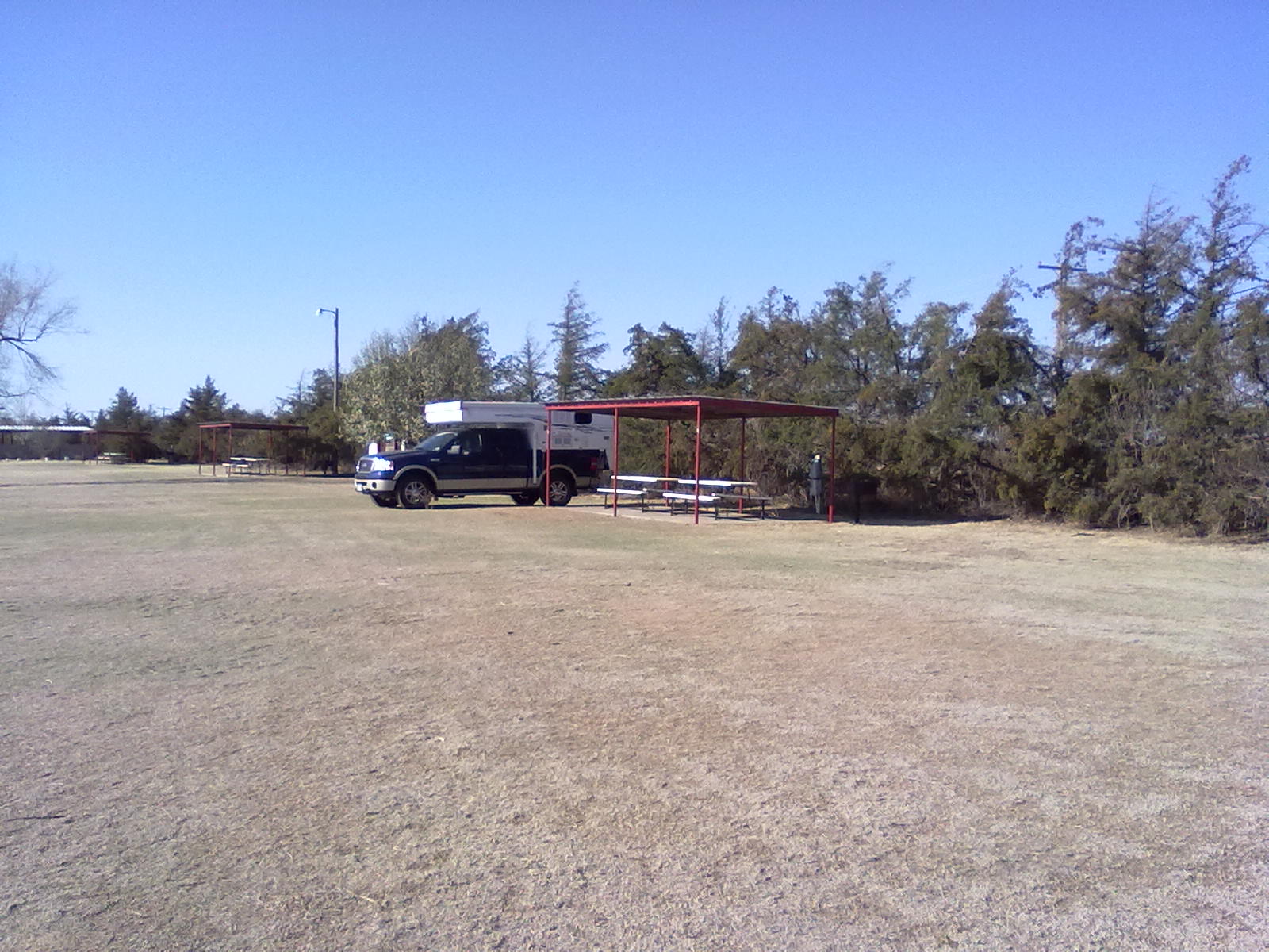
We are in “T Loop” of the Yucca Flats campground.  This loop provides large pull through and back-in sites with closest access to a small protected cove that is ideal for non-boat swimming.  Yucca Flats is made up of 5 loop with about 12 or 15 sites on each loop.  There is a camper facilities building in a central area with showers and laundry facilities.  Each of the loops also provide restrooms with toilets and sinks.  All of these sites provide 30 amp power, but all water is shared with hydrants scattered throughout the campgrounds.  Each site has a fire pit and a covered picnic tables next to a paved parking area.  There is a dump station at the entrance to Yucca Flats as well as several others scattered throughout the park. 

Pueblo County is under a Stage II fire ban which means we’re not able to have a campfire this weekend.  Its’ very dry in southern Colorado this spring with two large wildfires currently burning, one about 50 miles west near Westcliffe and one about 100 miles south along the Colorado/New Mexico state line.  The Duckett fire near Westcliffe has charred nearly 3000 acres and the Track fire near Raton has burned about 28,000 acres and caused closure of I-25 for numerous days.

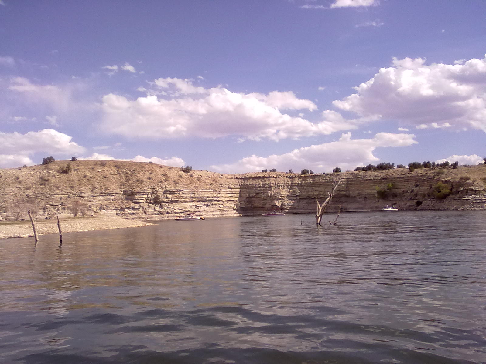
This is traditionally a very busy weekend at Lake Pueblo, last year there was over an hour wait at the boat ramp.  But, this year is much quicker – we’ve completed the mandatory mussel inspection, applied the 2011 registration tags and are in the water in about 20 minutes.  With traffic and a bit of a breeze that has come up, the main part of the lake is very rough.  After a quick tour of the dam and swim beach, we anchor in a quiet cove to enjoy the water and sun.  The lake is possibly the highest we’ve ever seen, creating more surface area, hiding a few underwater hazards and providing new coves for relaxing.  The water is about 68 degrees, great for a refreshing plunge, but not warm enough for extended swimming.  By 6pm much of the lake traffic has departed and we head for the boat ramp.  Back at camp we enjoy a tasty dinner and a calm evening. 

We need to vacate our campsite by noon today – so we’ll have breakfast and maybe some swimming in the cove before loading up and heading home.  Happy Father’s Day to all the dads!


Departure from Eleven Mile State Park

12 06 2011
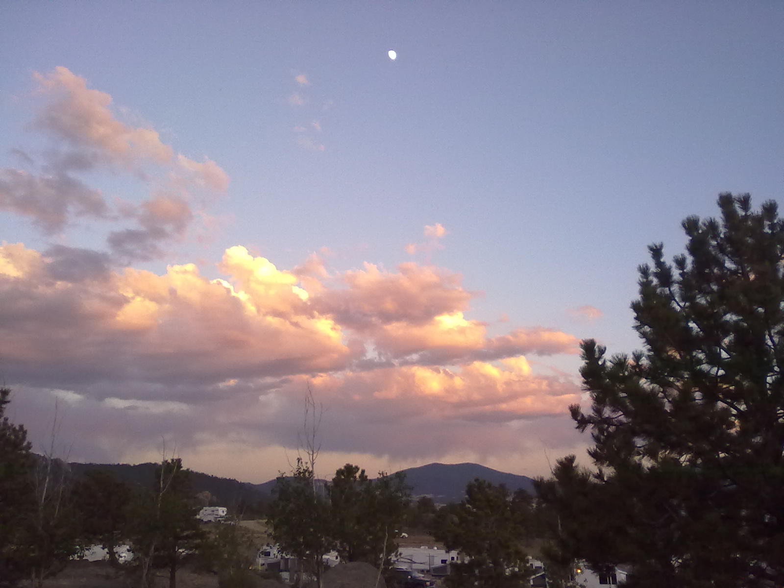
Moonrise over Eleven Mile

Moonrise over Eleven Mile

After a great dinner, a beautiful sunset and a very quiet night, we appear to be among the majority of campers that will be departing today.  In fact, some are already gone, having packed up and left before 7am.  On our way out, we review the non-electric sites at Rocky Ridge.  There’s no doubt that our site (#142) was a premium site.  A few others also look nice, among those are #130, #129, #127 (good for a double site), #112, #62 and #71/72. 

This slideshow requires JavaScript.


Into Eleven Mile Canyon

12 06 2011
Eleven Mile Canyon Tunnel

Eleven Mile Canyon Tunnel

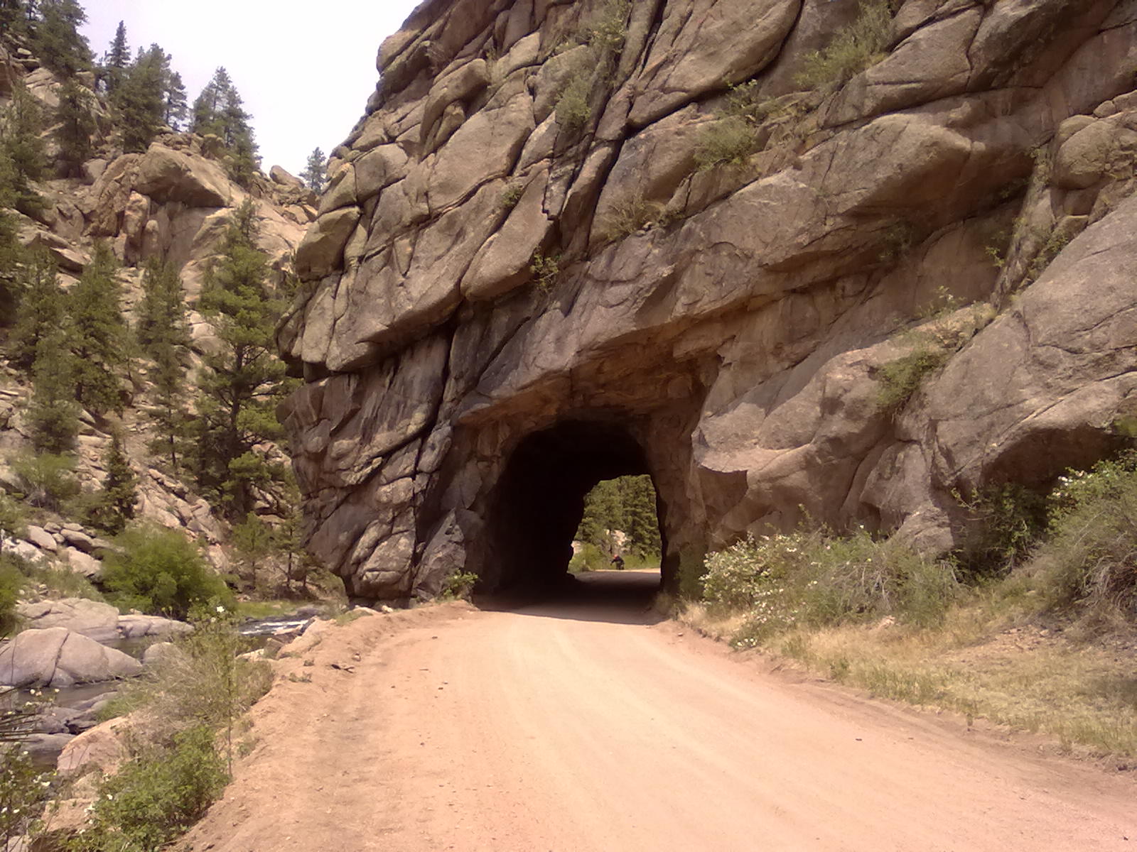
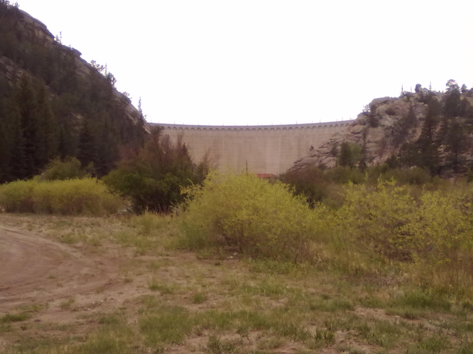
The dam that creates Eleven Mile Reservoir is located at the top of Eleven Mile Canyon, formerly Granite Canyon. There’s no way to directly access the Canyon from the lake, you can’t get over the dam. Instead, you travel north to the small town of Lake George, cross over the river and then enter the canyon, basically a 30 mile “u-turn”. Originally the Colorado Midland Railroad followed this route, hauling goods and passengers from Colorado Springs to the mining and lumbering camps in South Park. The route was a critical piece of the 260 miles of line which was used for over 30 years, then abandoned in 1918 – thought to be the largest abandoned rail project in the world.

Eleven Mile Dam

Eleven Mile Dam

There are 6 Federal campgrounds in the canyon. Riverside is the closest to Lake George, and appropriately named Spillway Campground is literally in the shadow of the dam that creates Eleven Mile Reservoir. None of the campgrounds are large, and most are very near the main road. The road is gravel, very rough and today, very dusty and busy. The hostess that takes our $5 at the main gate tells us there is a wedding at Spillway. Indeed, it’s a very busy drive into and out of the canyon and Spillway is packed!

After a brief stop at one of the picnic areas we head back to the relative quiet of our Rock Ridge campsite. The scenery is spectacular, but I’m not sure that the camping in the canyon has much over the lake – and we have hot showers at the lake!


Good Morning from Rocky Ridge

11 06 2011
Eleven Mile, Rocky Ridge, Site #142

Eleven Mile, Rocky Ridge, Site #142

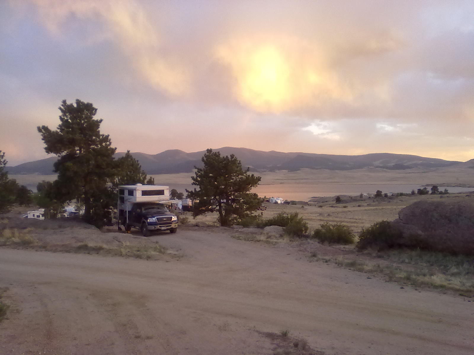
We’re about 2 hours south of home at Eleven Mile State Park and parked at site #142 in the Rocky Ridge campground. There are 9 different campgrounds with over 300 sites scattered along the north and south shore of this 3400 surface acre reservoir. Rocky Ridge campsites are arranged around 5 loops (A, B, C, D, E), 3 with electrical ($20/night) and 2 without ($16/night). Appropriately named, these campsites are just on the edge of the thick pine forest that descends from nearby foothills and are surrounded by rocky outcroppings and scattered ponderosa pines. All of the other campgrounds around the lake are much more barren, with just scrub brush for privacy and wind screening.

Once named Granite Canyon, Eleven Mile Canyon was an important route between the prosperous front range cities of Denver and Colorado Springs and the mines of South Park. Numerous mining camps were established along the route, with the largest being Howbert, consisting of a telegraph office, post office, grocery store, drugstore, butcher shop, hotel, two saloons, sawmill, depot, schoolhouse, cemetery, 25 houses and a 42-car capacity passing track. In 1926, the rapidly growing city of Denver, seeking backup water resources, began survey work that would eventually lead to the construction of a dam across the Eleven Mile Canyon. This dam created the Eleven Mile Reservoir, and inundated several small mining towns including Howbert. Today, one of the small campgrounds on the south shore is named Howbert Point.


Biking in Moab

15 05 2011

After spending yesterday in Arches National Park, we decide to see more of the area, this time on mountain bikes.  There are a lifetime of biking trails throughout the Moab area. If you’ve arrived without your mountain bike, there are a number of rental shops in Moab. We rented from Rim Cyclery, located just a one block off Main Street (highway 191).  The staff was great, they spent plenty of time showing us all of the features and controls of our brand-new full suspension Specialized bikes. 

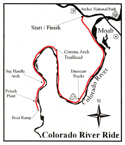
The Moab trail system includes something for everyone, from expert-only, multi-day rides to less advanced, flat rides.  We opted for one of the road rides with no elevation change along the Colorado River.  Known as the Potash Road ride, most bikers start from one of the BLM campgrounds a few miles off the main highway. The road follows the river through the beautiful canyon south-west of Moab. 

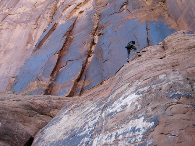
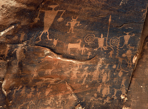
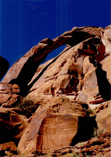
Along the way we passed Wall Street, a popular climbing area where we took a short break to watch climbers scaling vertical sandstone walls.  Within a mile of Wall Street are some of the finest petroglyphs in the Moab area.  There is also a number of roadside pullouts for rest stops and to enjoy the flowing river.  We rode all the way to  Jug Handle Arch, an aptly named arch at about the 12 mile mark.  In total, we rode about 24 miles – plenty for those of us that hadn’t been on a bicycle saddle in 10+ years!


A Day in Arches National Park

14 05 2011

There’s so much to do around Moab – hike, bike, raft the river – the entire town is built around outdoor recreation. But, no visit to Moab would be complete without at least a day at Arches National Park.

Arches occupies over 75,000 acres just north of Moab.  The southeast corner is bordered by the Colorado River, the western edge runs parallel to highway 191, which exits I-70 at Utah mile marker 182.  The main park entrance is on the southern end, nearest Moab.  From here, the park road runs about 20 miles into the park, terminating at Devil’s Garden Trailhead and Campground.  With a full day planned in the park, we saw nearly every arch and attraction up to Devil’s Garden.  There are several arches around Devil’s Garden that we missed – hopefully next time we’ll stay in the park campground and hike around this northern area.

These pictures are in the order of our visit from south to north.

This slideshow requires JavaScript.

There is one campground within Arches,  the Devil’s Garden Campground, located eighteen miles from the park entrance and is open year-round. Facilities include potable water, picnic tables, grills, as well as both pit-style and flush toilets. There are no showers.  Some sites will accommodate RVs up to 30 feet in length. Even though we didn’t camp here, we picked out a few prime sites for future visits. Sites along the outside edge offer great views and often are arranged in pairs: [26,27], [30,31], [32,34], [18,20,21], [15,17,16] and single sites #1 and #24.  For more protection from wind or weather, sites 45 & 46 are excellent.


On to Moab, UT

13 05 2011
Site #40, James M Robb State Park

Site #40, James M Robb State Park

After a mild night in Fruita, we’re packing up for the short trip to Moab, UT. We’re only about 100 miles away and hope to arrive early to snag a prime camping spot at Goose Island, a small BLM campground along the Colorado River.  But, just as we’re about to leave, plans change.  We discover that the water pump on the camper of friends we’re traveling with was inadvertently left on, and with no water in the system, it has burned out.  Fortunately we’re only about 5 miles from Grand Junction and several RV parts supplies.  By 9:00 we’ve purchased a replacement pump and are once again westbound.  Thanks to Bob Scott’s RV Parts.

About 50 miles into Utah, we turn south on Highway 128, the “river road”.  This road follows the winding Colorado River, and with some tight turns wouldn’t be ideal for larger rigs.  Highway 191 is better for big rigs or long combo trailers.  There are 11 BLM campgrounds along 128, most within about 20 miles of Moab.  We start looking for available campsites at Big Bend, a 23 site campground, 8 miles from Moab.  With nothing available at Big Bend, we drive through several other campgrounds before reaching Goose Island, the closest to Moab.  We’re finding very little availability at any of the campgrounds.  This might be more difficult than we originally expected!   

BLM's Goose Island Campground

BLM's Goose Island Campground

The BLM maintains 25 campgrounds in the Moab area. Reservations are not taken, all sites are on a first-come, first-served basis. Many of the campgrounds are located close to Arches National Park along the Colorado River. These campgrounds offer views of spectacular red rock cliffs amidst a green ribbon of vegetation. Several of the campgrounds are particularly suited to even the largest Recreational Vehicles. These RV friendly campgrounds include Ken’s Lake, Hittle Bottom, Goose Island, Goldbar, Horsethief, and Big Bend. Five of the campgrounds feature reservable group sites suitable for gatherings. Drinking water is not available at most of the campgrounds, however it is available at Lions Park, which is at the intersection of Highways 191 and 128 two miles north of Moab.

With nothing available along Highway 128, we continue through Moab to explore several sites along Kane Creek Road which runs along the river south of town.  None of these small campgrounds offer any available sites.  With apparently no BLM sites available, we return to Moab and start looking at commercial campgrounds.  There are many campgrounds, both large and small, along the main street.  All are urban, most likely with constant noise from town and the highway, featuring varying levels of cleanliness, service and nearness to other campers.  Most are set within groves of cottonwood trees, which are in full spring bloom, some of the piles of cotton are ankle-deep – not wonderful for us allergy suffers.

BLM Horsethief Campground

BLM Horsethief Campground

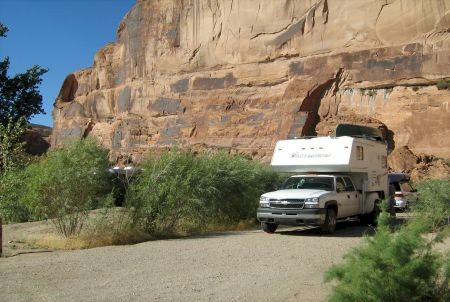
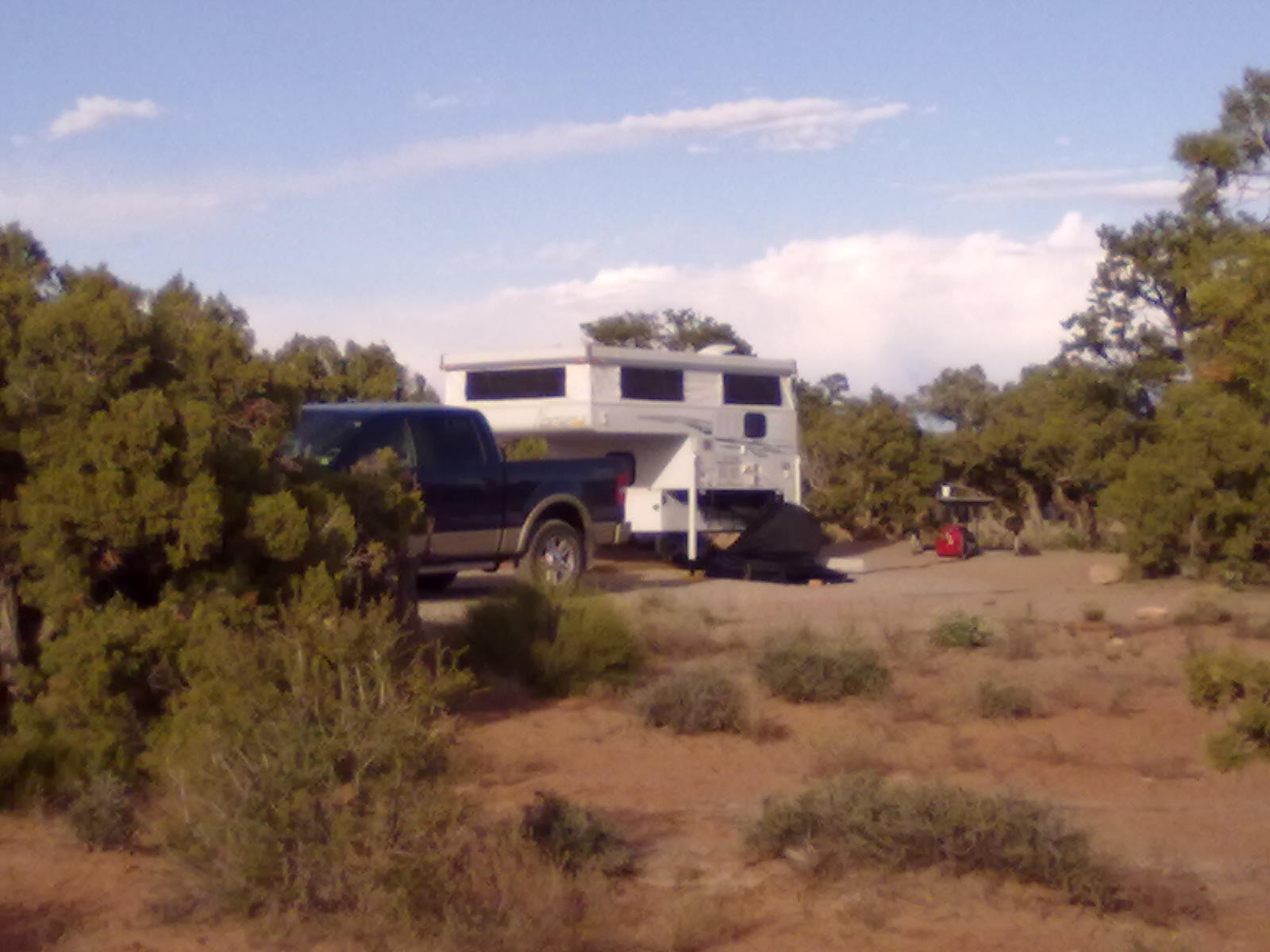
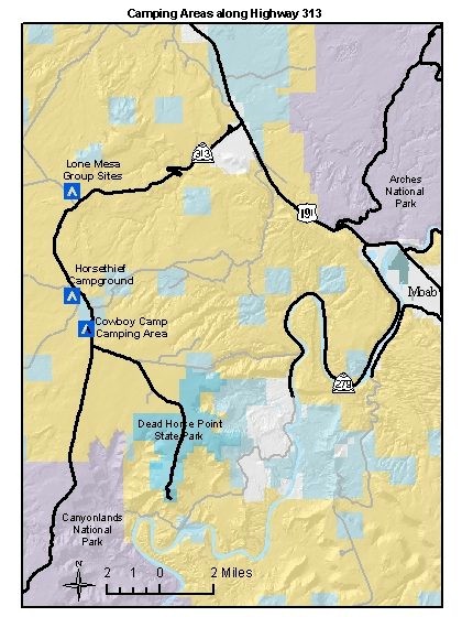
After deciding we really aren’t thrilled with the prospect of staying in any of these commercial campgrounds, we opt for one more BLM campground check. Horsethief Campground is the largest of the BLM campgrounds, with 60 sites and located about 20 miles north-west of Moab along highway 313. We hope that with the large number of sites, and the fact that it is further out-of-town, we’ll find something available. Arriving at Horsethief, we’re happy to find several available sites. Set on the top of a bluff, the campground is organized into several loops with sites well spaced and abundant scrub oak, cedar and pinon pine for privacy. Some of the sites are lower on the bluff, and overlook stunning canyons to the south-west. We select two sites near the entrance without quite as nice of view – but certainly better than ankle-deep cotton! The sites have deep, level parking areas, a large sand tent pad, a clean fire ring and a picnic table.  We’ve found our home for the next 3 nights!

BLM Highway 313 Camping

BLM Highway 313 Camping


Out of the Colorado Snow

12 05 2011

It’s been an unusually dry winter and spring for the eastern plains and front range of Colorado.  In complete contrast to the mountain and ski areas where they saw record amount of snow this year, the front range foothills have been dry and unusually prone to wildfires this early in the season.  But, May seems determined to change this trend with almost endless days of rain and snow.  In less than two weeks, nearly 5 inches of rain has been reported in downtown Denver.  That translates to several feet of snow in our area at 9000′ of elevation. 

Even the trip we have planned to Moab, UT this weekend is in jeopardy – it’s going to be very difficult to get the camper loaded with a foot of snow on the driveway!  But, luckily, the weather breaks and on Thursday we’re able to roll the camper out of the garage and get it loaded on the truck.  We’re headed down the hill toward I-70 at around 2pm. 

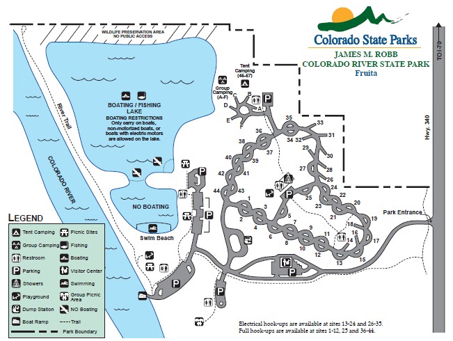
Tonight we’re camping at a State Park in western Colorado.  The James M Robb – Colorado River park is west of Grand Junction in Fruita, just 19 miles from the Utah/Colorado border.  An urban park, facilities are numerous and new, from full hookups to a beautiful camper facilities building and several small fishing lakes.  There are miles of bike and hiking trails as well as access to the Colorado River.  This is a beautiful park – but the rumble of I-70 is ever-present in the background. Arriving around 8pm, we find our reserved site #40 clean, level and with great views to the Grand Mesa.  Sunset is beautiful as we enjoy dinner around the campfire. Our plan is to get an early start in the morning for the final 2 hours to Moab.  Our hope is that arriving early Friday morning will allow us to pick a prime site in the many un-reservable BLM campgrounds along the Colorado River.  James M Robb Campground Map

Campground Map


Off the Grid Power

30 04 2011

With our upcoming trip to Moab next month, we’re planning to be camping in primitive, completely off-the-grid sites.  We’re self-contained except for power.  With the constant addition of electronics (we just added an iPad to our “camping” supplies) we need to be able to recharge the camper battery on a daily basis. 

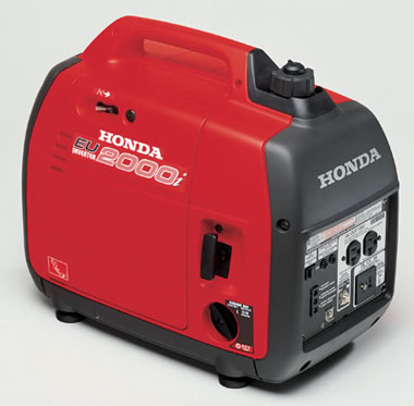
After shopping endlessly, even at the Albuquerque Balloon Fiesta two years ago, we opt to purchase a Honda 2000 generator from Camping World in Denver. 

Honda 2000i

Honda 2000i

We can’t wait to try it out!


Waking up in Kansas

11 04 2011

Beymer Water Recreation Park

Departing Palo Duro Canyon we headed north through the Texas Panhandle, through the Oklahoma Panhandle and about 70 miles into Kansas. Following the tradition of RVer’s everywhere we wanted to apply at least one more sticker to our “been there” map. Last night about 5pm we poured a celebratory Margarita and applied the Kansas sticker to our map.

Beymer Park Lakes

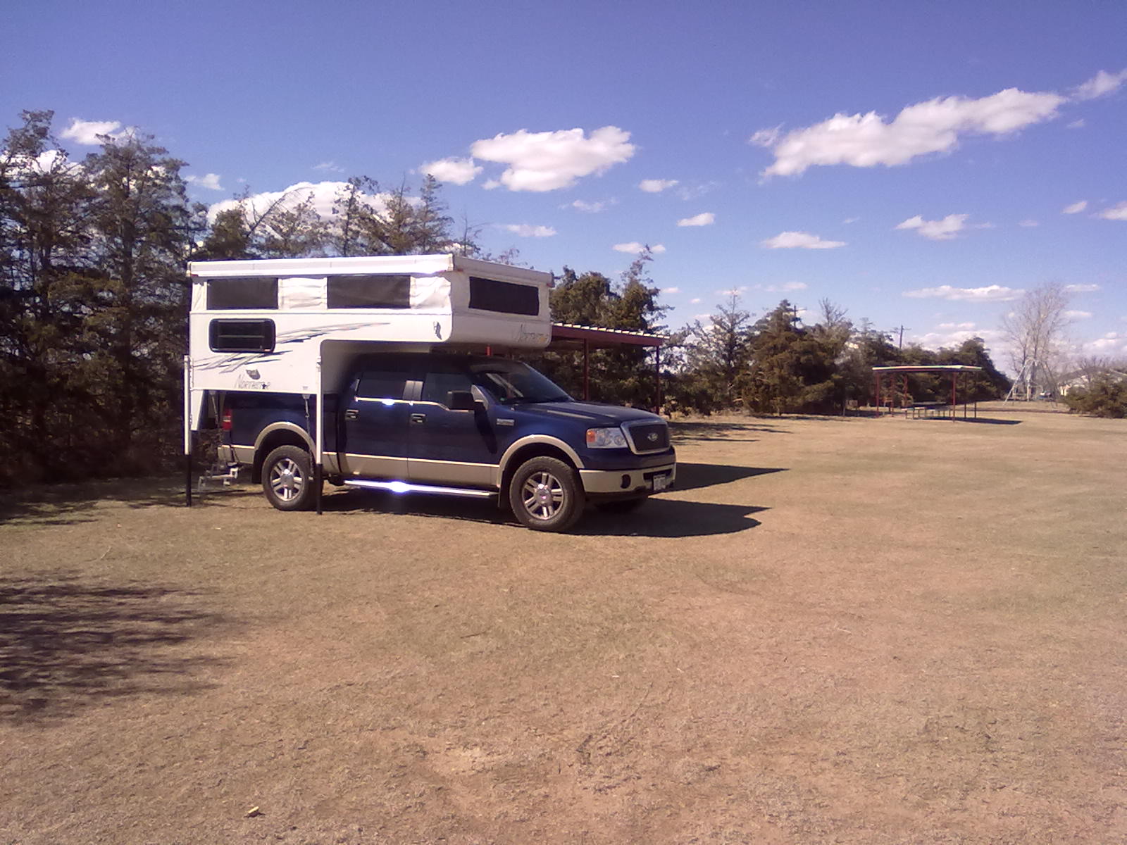
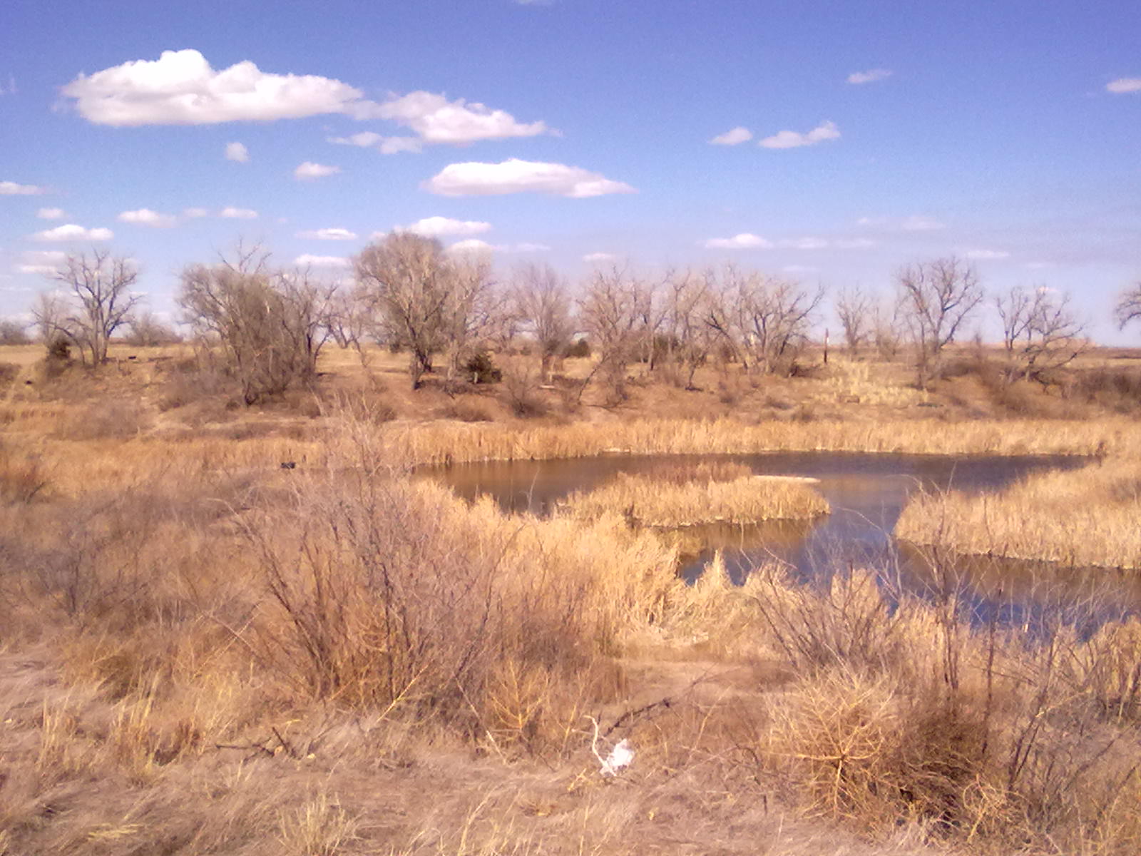
We’re parked at the Beymer Water Recreation Park, just a few miles south of Lakin, Kansas. So far off the beaten path, we’re the only ones using one of the 8 sites that provide water and 15/30 amp electric, covered picnic tables and freestanding charcoal grills. At one end of the row of RV sites is a large group pavilion and at the other end is the bath house. Between the main highway and the park are several small sand lakes that attracted a few fishermen while we were there.

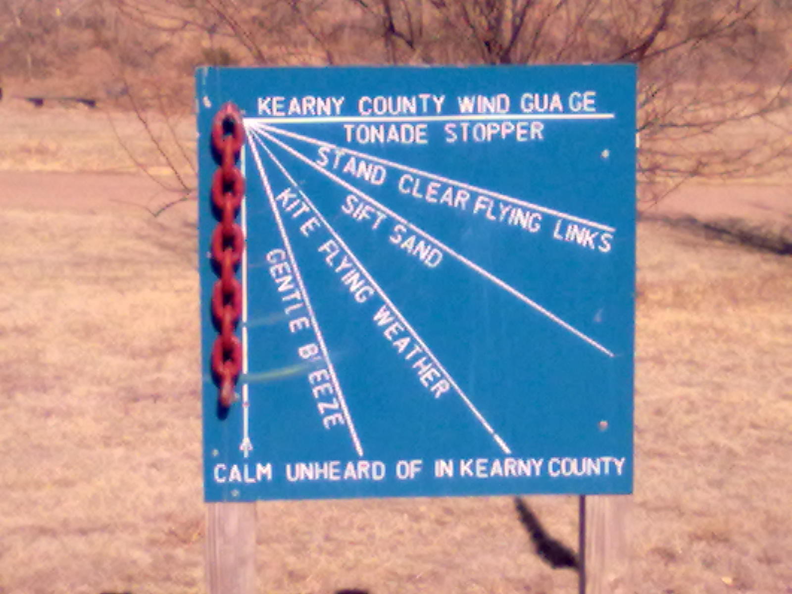
Kearny County Wind Gage

Behind the sites are a tall row of trees that provide a good wind block. Unique in character and location, the only downside to this park is the bath house facility. Older and without any kind of privacy between toilets and the one non-working shower, these really need a fix-up. But, to the county’s defense – these facilities probably haven’t been used much during the winter months – so the fact that the water is turned on and the doors are unlocked was somewhat of a surprise. And, for a $5 overnight fee, this was by far the least expensive, and certainly the most private park we’ve been in.

Ready to Roll

Today we’ll head west out of Lakin on Highway 50 which follows the Arkansas river into Colorado. We’re only about 6 hours from home, so assuming all goes according to plan, this will be the last blog post for the Texas Road Trip 2011. In May we’re headed to Moab – so more from Utah.