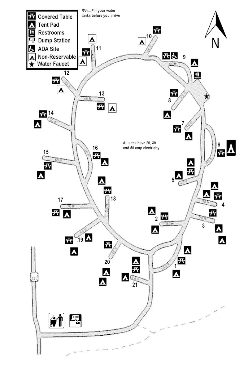
Utah’s Dead Horse Point State Park occupies a mesa towering 2000 feet over the gentle bends of the the Colorado River in the valley below. Legend tells of cowboys corralling horses beyond the very narrow “neck” onto the small point of land where many died due to lack of water – all within sight of the mighty Colorado River. The small campground of only 21 sites MAP is organized around a loop that slopes toward the east rim, and views of Canyonlands National Park. Site #14 is at the uppermost part of the loop, sites 1, 3 and 4 occupy the lowest points. We’re parked in back-in site #18 with friends in a pull-through site #16. These two sites are both on the inside of the loop, with a shared area with 2 large tent sites. Site #16 is open with beautiful views over the campground toward the East Rim. Site #18 is set among trees that prevent awning deployment, but does provide a bit more privacy.
-
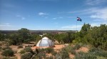
- Site #18
-
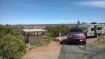
- Site #16
-
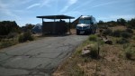
- Site #15
-
- Site #15
-
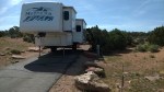
- Site #14
-
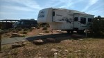
- Site #14
-
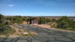
- Site #13
-
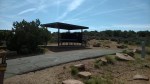
- Site #12
-
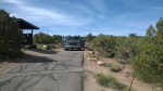
- Site #11
-
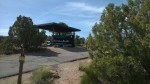
- Site #11
-
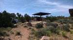
- Site #10
-
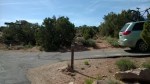
- Site #10
-
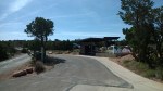
- Site #9
-
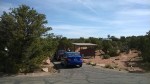
- Site #8
-
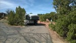
- Site #6
-
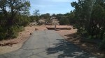
- Site #5
-
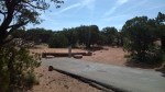
- Site #5
-
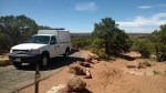
- Site #4
-
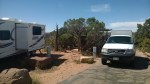
- Site #3 & #4
-
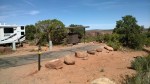
- Site #3
-
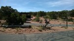
- Site #2
-
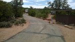
- Site #1
-
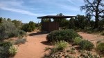
- Site #21
-
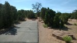
- Site #21
-
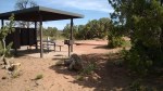
- Site #20
-
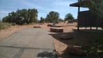
- Site #20
-
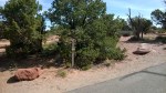
- Site #19
-
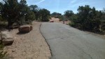
- Site #19
-
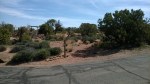
- Site #17
-
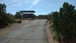
- Site #17


[…] 2014, Dead Horse Point State Park […]