Hiking to Double O Arch

11 05 2013
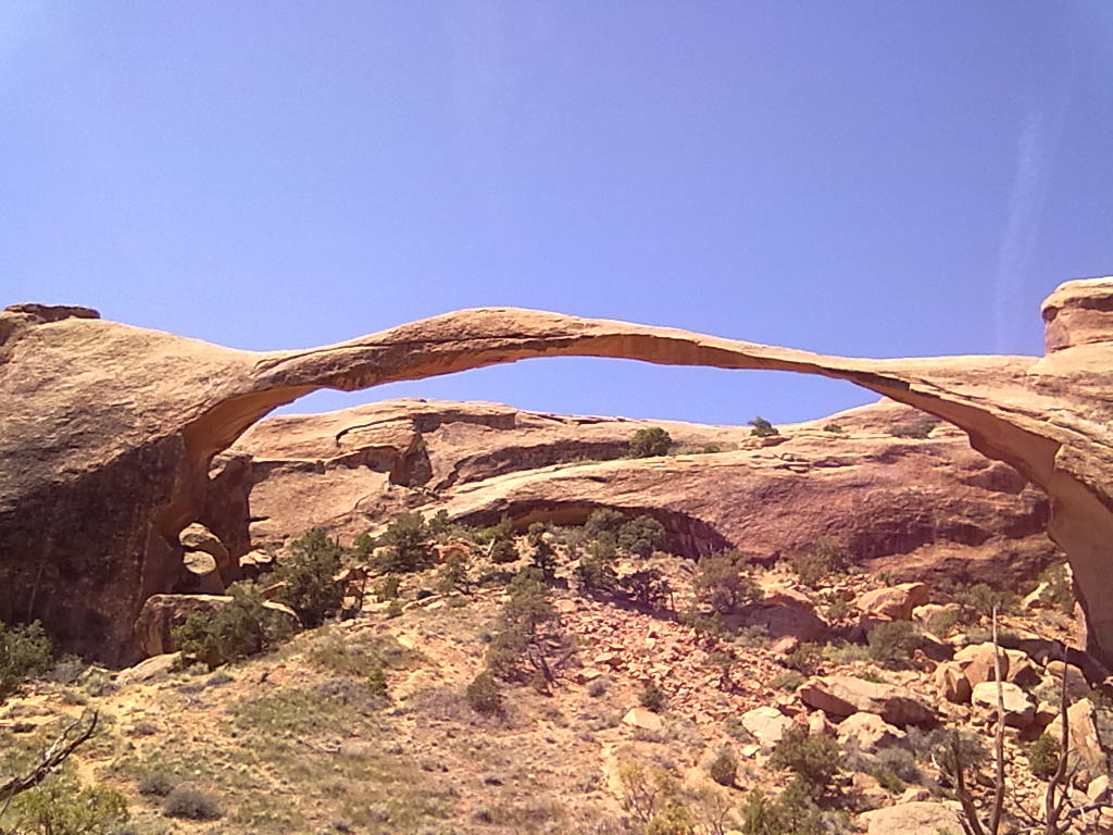
Landscape Arch
Landscape Arch
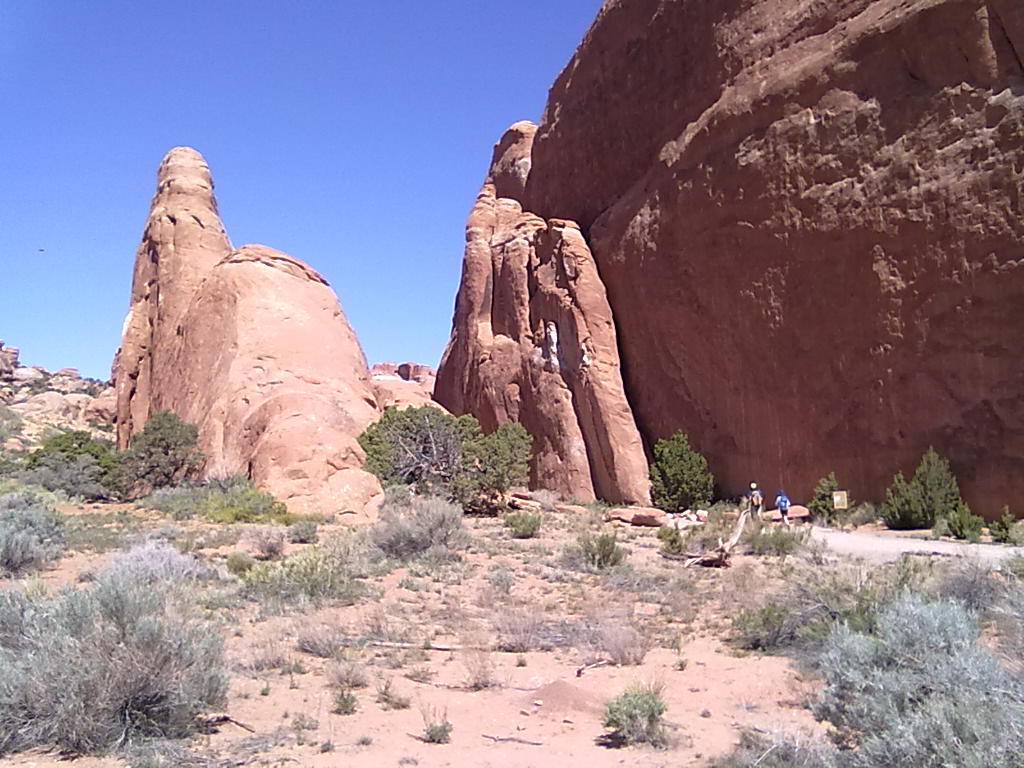
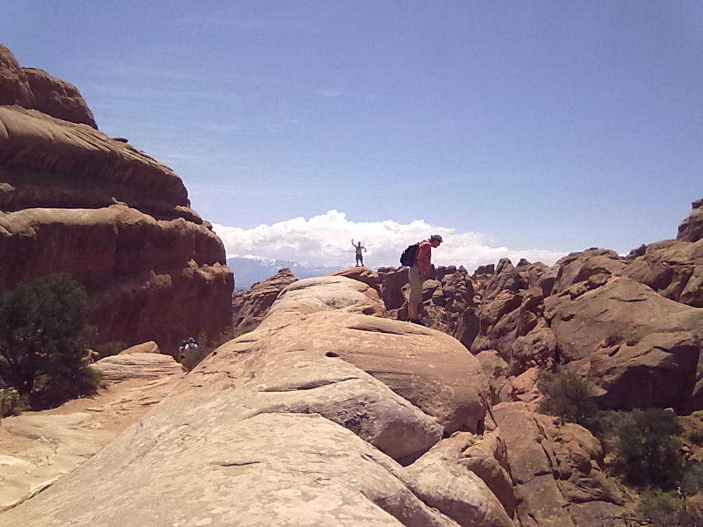
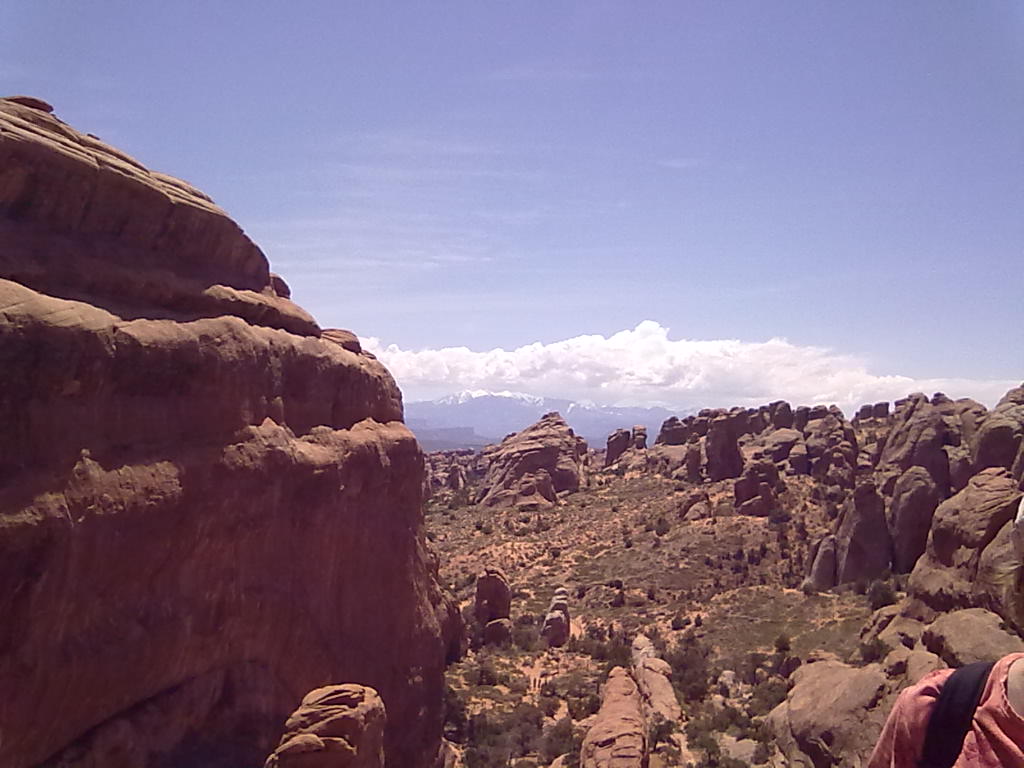
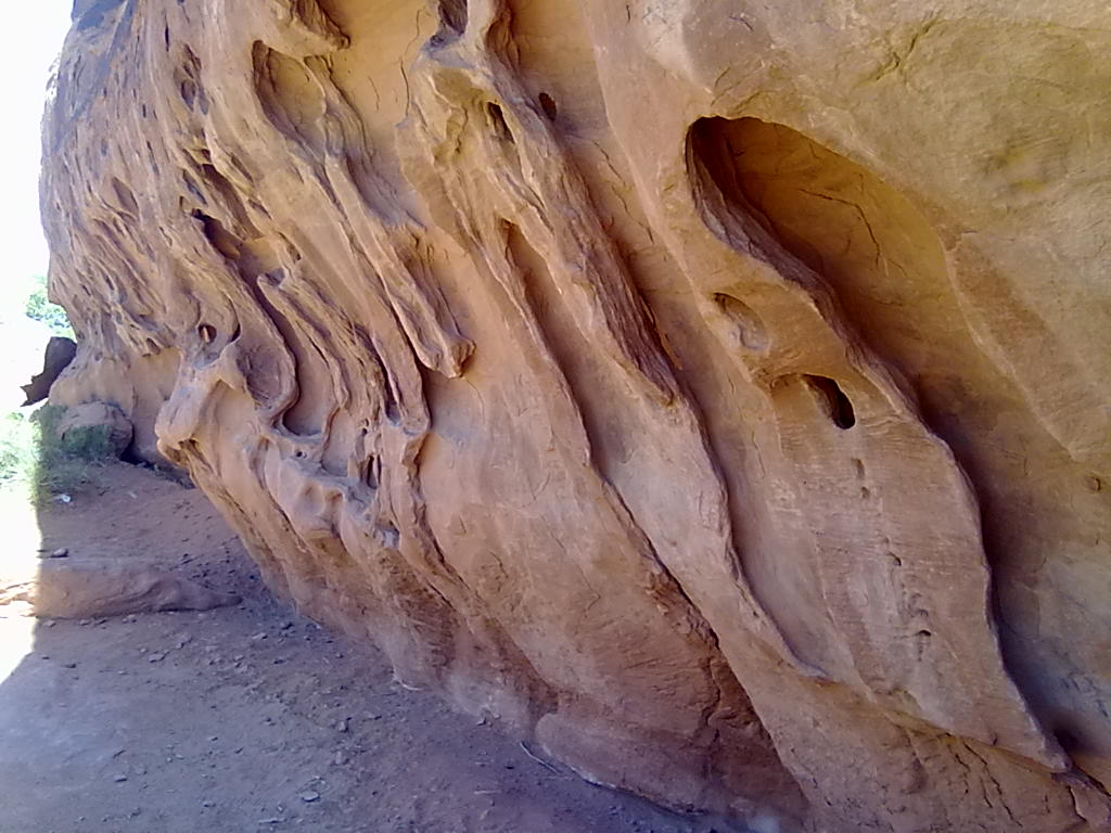
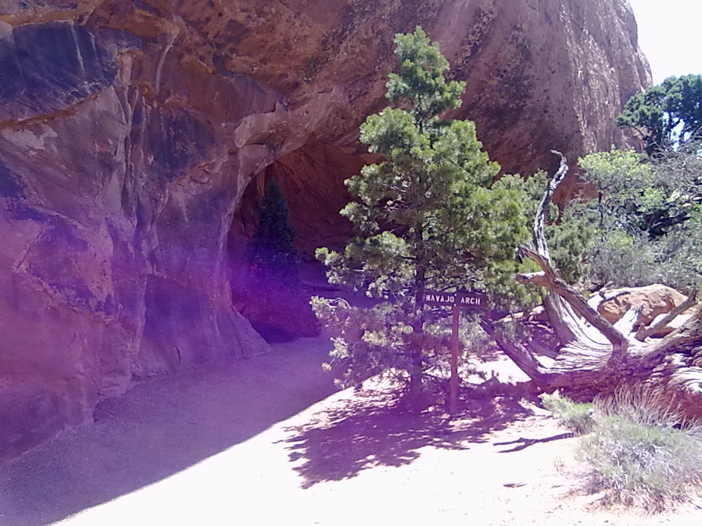
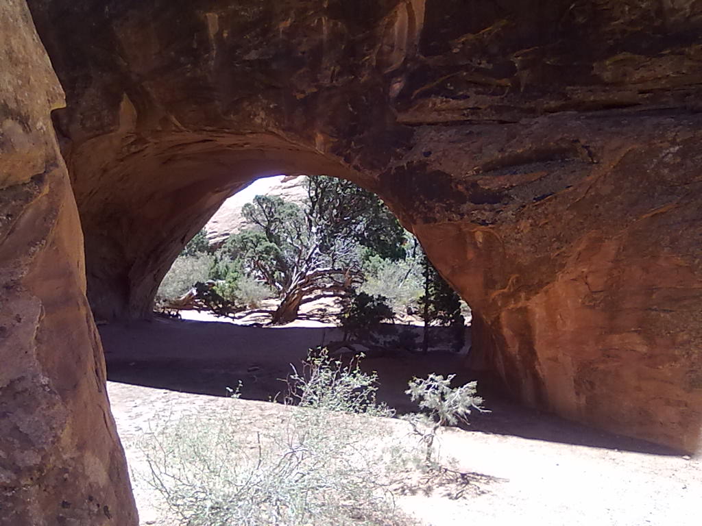
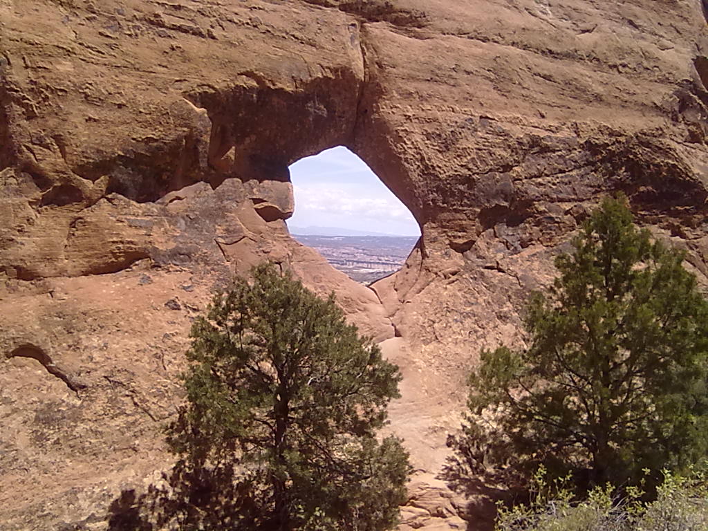
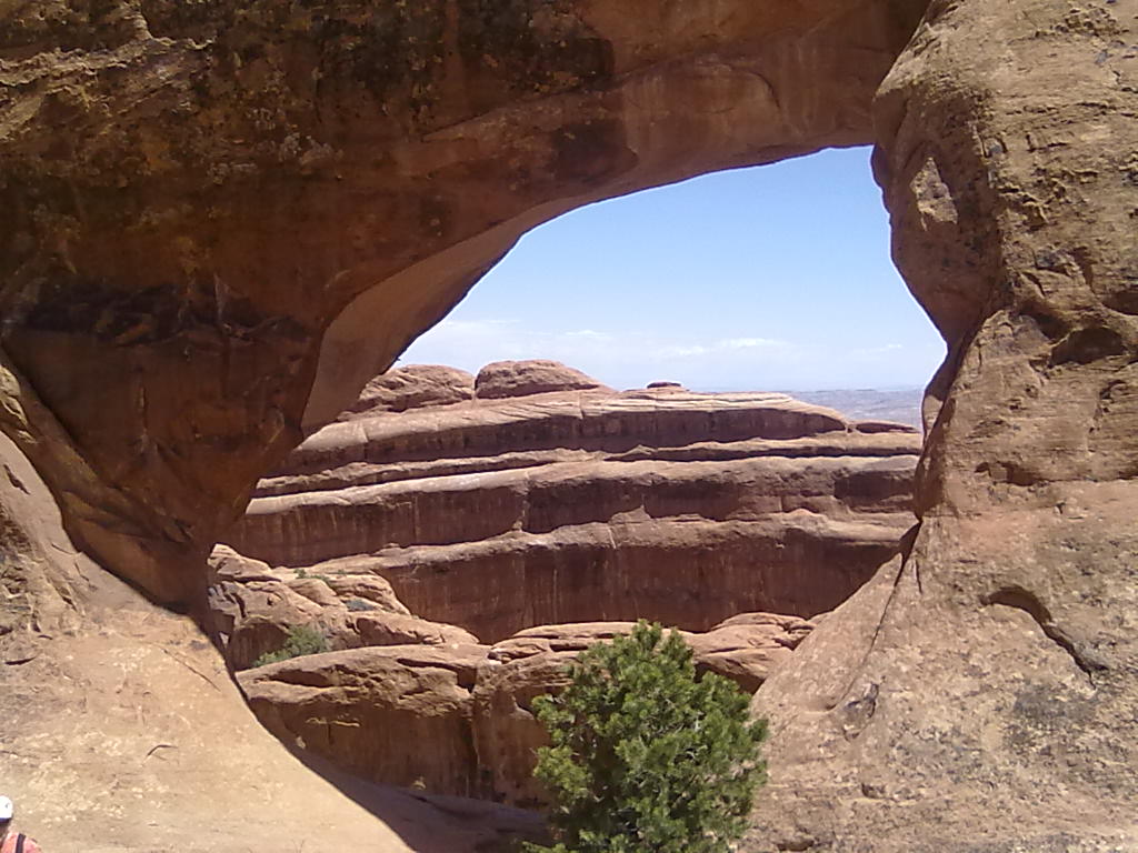
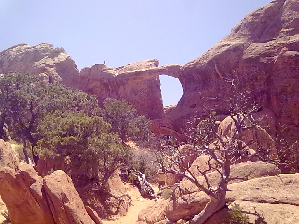
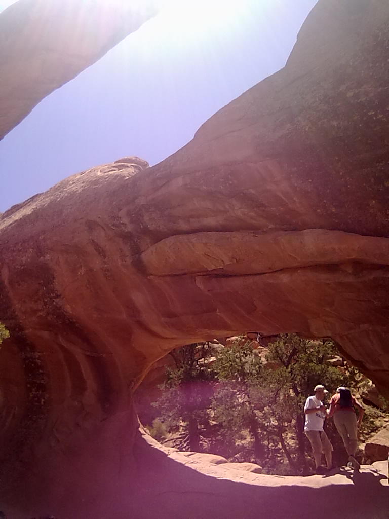
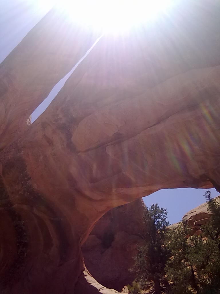
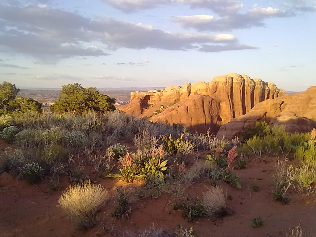
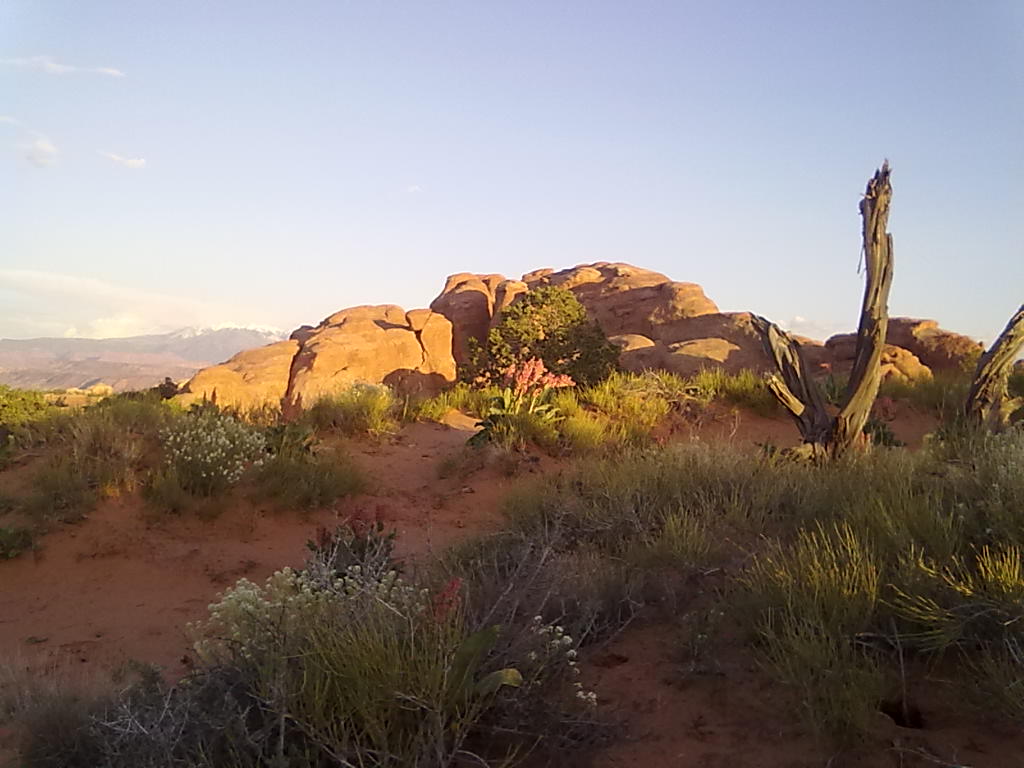
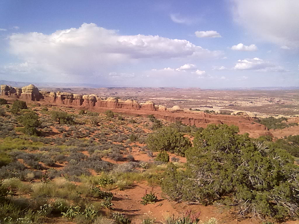
It’s Saturday and our big excursion today will be into Devil’s Garden.  Just beyond the campground is the parking area and trailhead for the 4.2 mile moderately aggressive hike that takes you past Landscape Arch and continuing to Double O Arch, with intermediate stops at 5 other arches.  From Double O you can choose a longer return route (by about 2 miles) or double back on the same path to the parking lot.  It takes us about 2 hours to reach Double O Arch after stopping for photos at Landscape Arch, Partition Arch and Navajo Arch.  Landscape has one of the widest spans in the park and in 1991 suffered a collapse of about half of the underside of the arch.  Now even more delicate and fragile the arch is off limits for close-up observation or climbing.  Navajo Arch is uniquely positioned on the sandy desert floor rather then up high on a rock fin.  Partition is actually two arches, side by side high up on narrow rock partition.  Double O is very unique, with two arches stacked one on top of the other.  You can hike up to and into (and in the case of Double O, across the top arch) of each of these except Landscape.  The hiking beyond Landscape is challenging in areas with about half the trail being in soft sand and the other half being along rocky elevated outcroppings.  Some of the best views of the park are just before Double O with a passage along a long narrow rock fin that offers 360 degree views of the park.
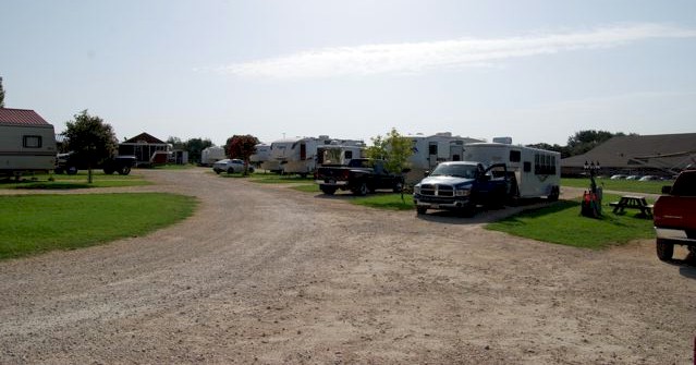


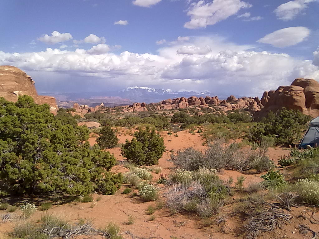
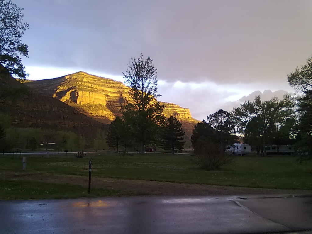
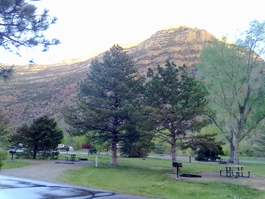
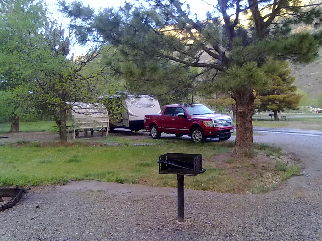
Devil’s Garden Campground – Arches NP

10 05 2013
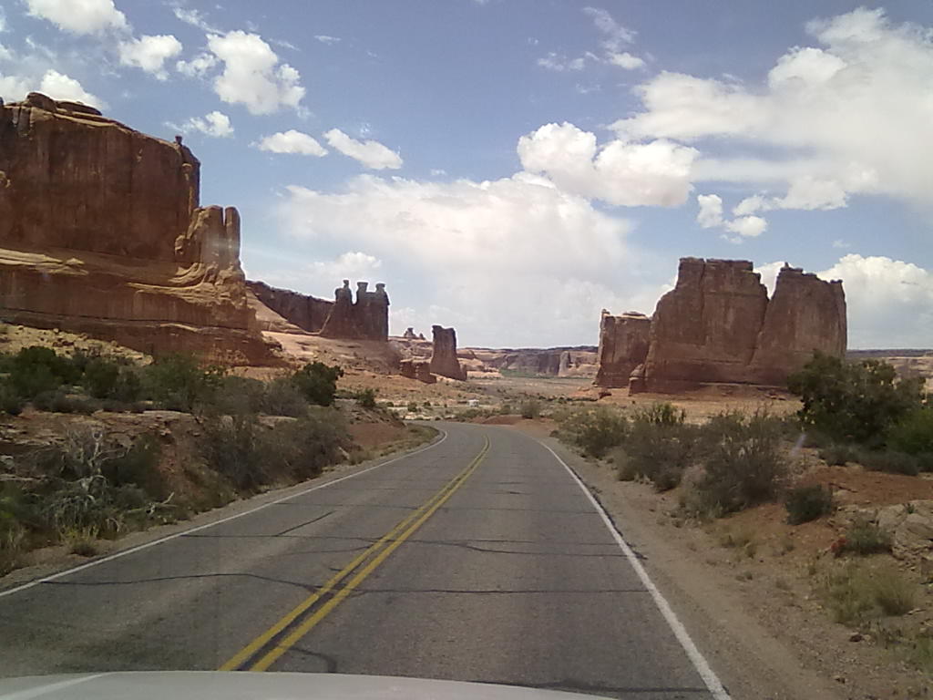
Three Gossips and The Organ - Arches National Park

Three Gossips and The Organ – Arches National Park

After the short trip from Palisade, we arrived in Moab at about 2pm.  Two years ago we found a public water faucet at Lion’s Head park, a small trailhead parking lot at the intersection of highways 191 and 128.  This year the park is full of construction equipment and supplies, but the faucet is still there, hidden behind a large rock next to the biking trail.  We’ll fill the fresh water tank here since there are no threaded faucets available inside the park.

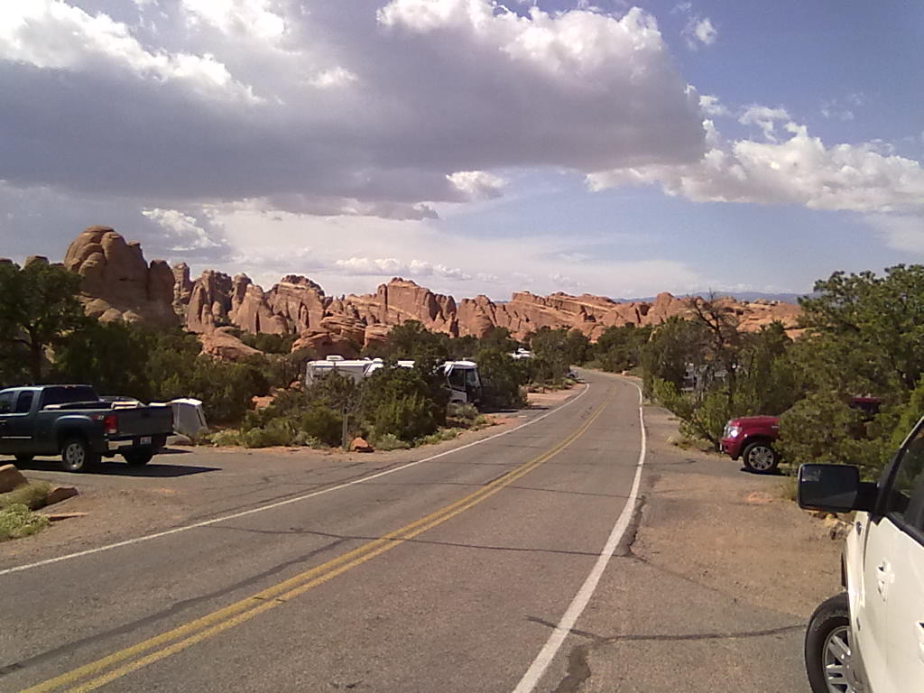
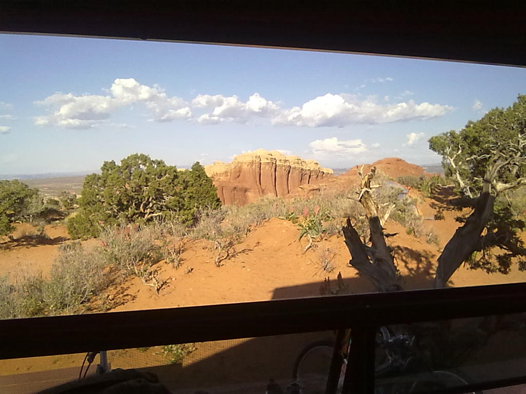
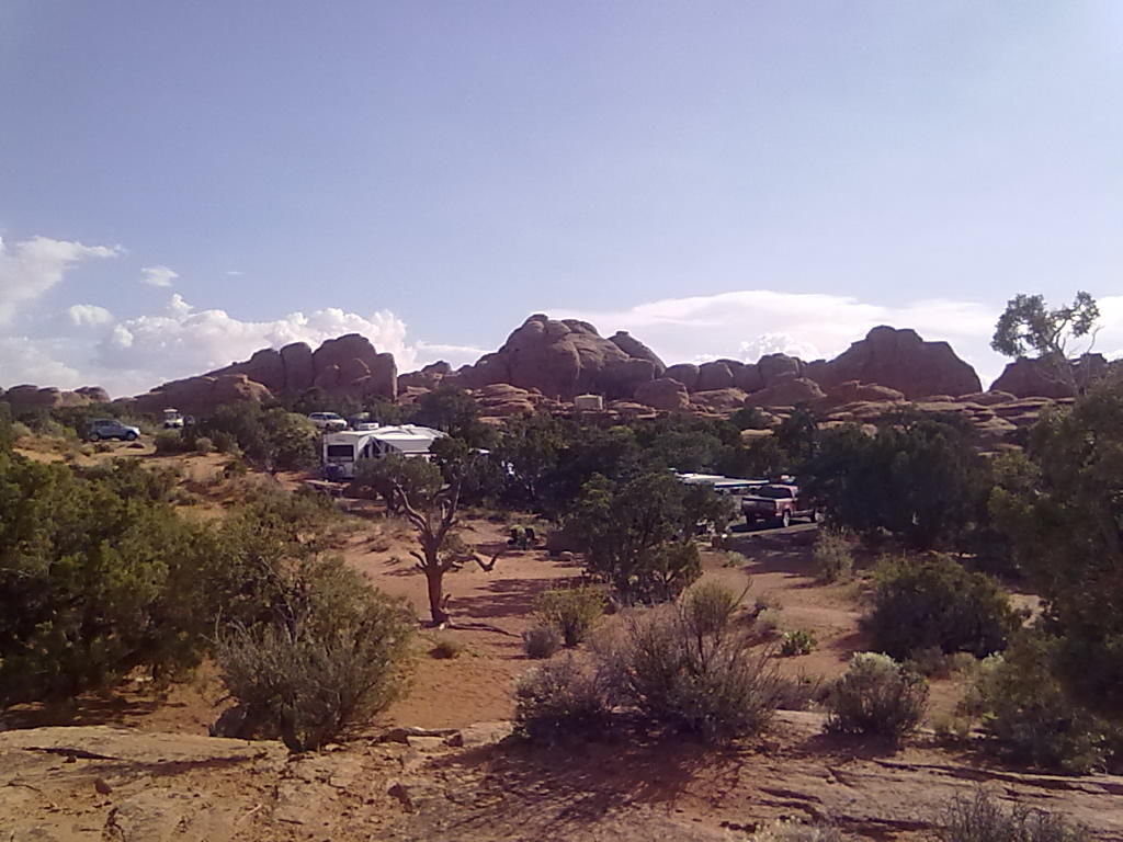
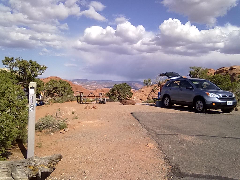
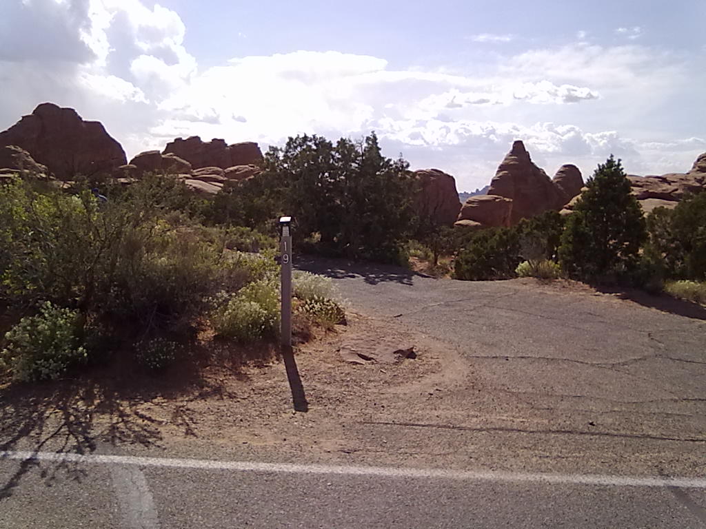
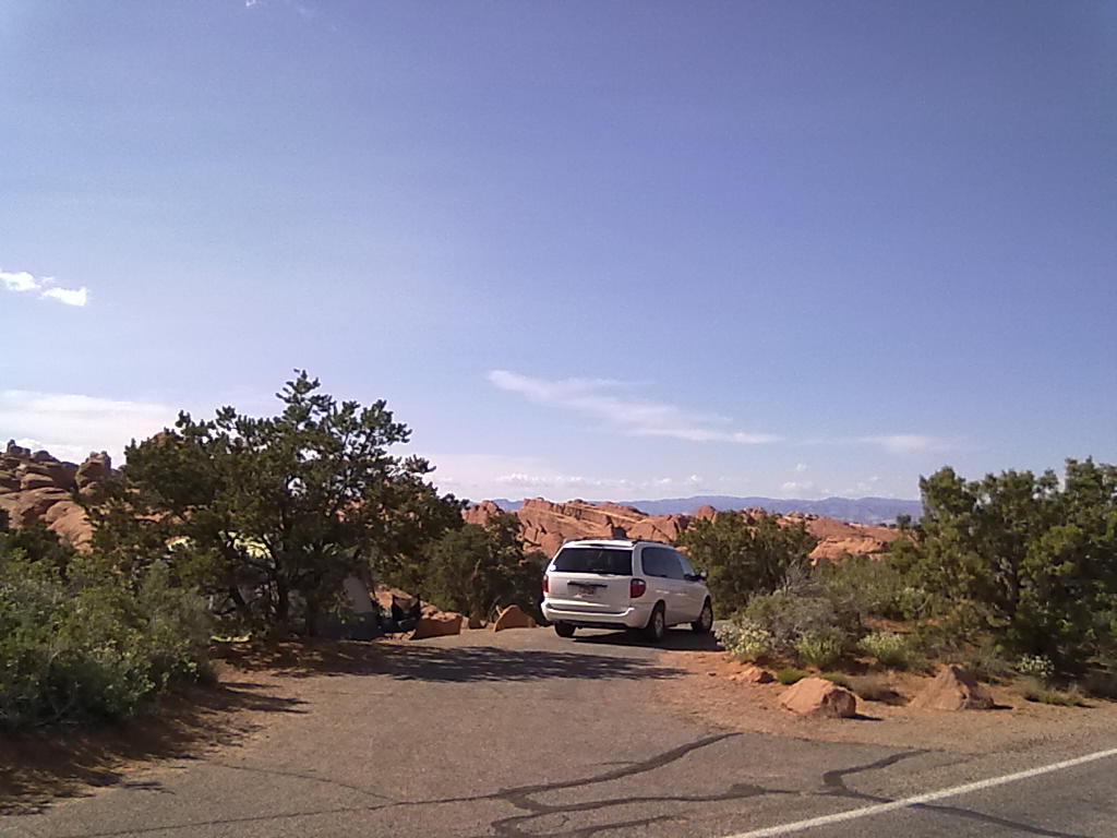
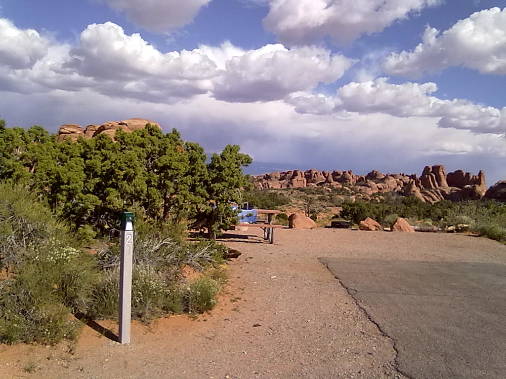
It’s about 18 miles from the entrance gate to Devil’s Garden Campground.  All 50 sites in this campground are reservable within a 6 month window which opened for this trip way back in November.  The campsites are organized along a single two-way road that runs along an open ridge.  Many of the sites along the outside of the ridge have nearly unlimited views to the north and east.  The sites on the inside offer a bit more protection from the wind, more trees/shade and in some, large rock formations that are great for climbing.  The road climbs up a small hill to about site #20, then descends into the remainder of the sites and a loop which has a large group tent site.  There are a few long deep sites, a couple of pull-throughs, some small side-road sites and many shallow sites best left to smaller rigs or truck campers.

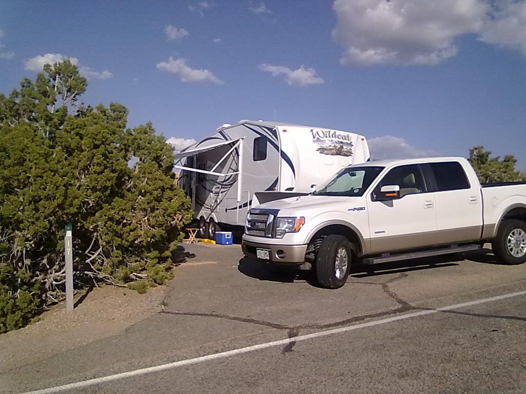
Our two sites (#15 & #17) are deep enough for the trailers and the trucks along side.  There are picnic tables and fire rings at each site.  In #17, the fire ring ends up nearly underneath the trailer, so not usable.  There are plenty of flat spots for tents behind both of our sites.  There are 3 or 4 restroom facilities with clean flush toilets, cold running water and outside dish washing facilities.  There are unthreaded water faucets at these locations, but nothing that can have a hose attached.  A centrally located amphitheater  provides an evening program every night of the week during this very busy season.  Cellular service was spotty at best within the campground.  Some of our phones were occasionally able to make calls or receive text messages from the highest points along the ridge.  The Verizon broadband card worked when perched on top of the extended TV antenna.  Generators are allowed within the campground, but only during a 2 hour morning period and  4 hours in the afternoon.   Campfires are allowed in the fire pits.  Quiet hours seem to be well honored (or well enforced by the 2 campground hosts) and the evenings produce some of the quietest nights along with some of the darkest and most impressive starry skies we’ve seen in a long time.


Good Morning from Palisade

9 05 2013
"Spring" in Colorado

“Spring” in Colorado

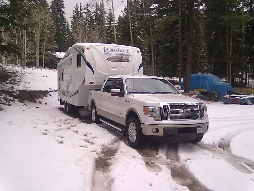
We’re about 4 hours west of home en-route to Moab, UT.  With heavy, wet snow still falling yesterday morning, we hitched up, loaded the bikes, plenty of food and headed west along Interstate 70 in search of warmer, dryer conditions.  There is plenty of snow on the tunnel approach and Vail Pass, but by the time we arrive at Glenwood Canyon, it’s a completely different world.  The grass is green, the trees are blooming or already have leaves and it’s a comfortable 70 degrees.

This is our second early-Spring trip to Moab, the last was in 2011 when we stopped at the Colorado River State Park in Fruita.  This morning we’re back at the Colorado River  State Park, this time at Island Acres just outside of Palisade   Dramatic cliffs provide a beautiful backdrop to this narrow canyon of the Colorado River.  We along with friends are parked in sites #2 and #5 on the A loop.  These are two electric only  pull-thru sites with nice shade trees, a covered picnic table and grill.  There are two additional RV loops with full hookup sites.  This loop is furthest from the interstate and right along the Colorado River.  There are several water faucets scattered around the campground, all with threaded connections for fresh water fills.  A central camper services building provides hot $1 (4 quarters) showers,  flush toilets and a small laundry facility.

Tomorrow we’ll continue to Moab, UT and into Arches National Park to Devil’s Garden Campground.  More from there…

Island Acres, Robb State Park

Island Acres, Robb State Park

Island Acres, Robb State Park

Island Acres, Robb State Park

Island Acres, Robb State Park

Island Acres, Robb State Park


Home from Texas 2013

19 04 2013
West of Denver, CO

West of Denver, CO

After over 3000 “route” miles, plus at least 600 or more for sightseeing, errands, etc. we’ve arrived back home.

It’s been 42 days since we arrived at Trinidad Lake State Park for our first night of the Texas Road Trip.  We’ve seen the dry plains of eastern New Mexico, desert blossoms in south west Texas, and roadrunners visiting our camp in Big Bend National Park.   We’ve ridden our bikes along the Rio Grande from near the “Big Bend” to the Gulf of Mexico.  We’ve enjoyed the hot dryness of the desert at Lajitas, beautiful beach weather on South Padre Island and a freezing blizzard in La Junta, CO.

It was a great trip – in many ways it’s hard to see it end, but in many ways it’s nice to be home.  But, many of the summer trips are already planned, it won’t be long until we’re on our way to Moab, UT.  More from there…


La Junta in the Snow

18 04 2013
KOA La Junta, CO

KOA La Junta, CO

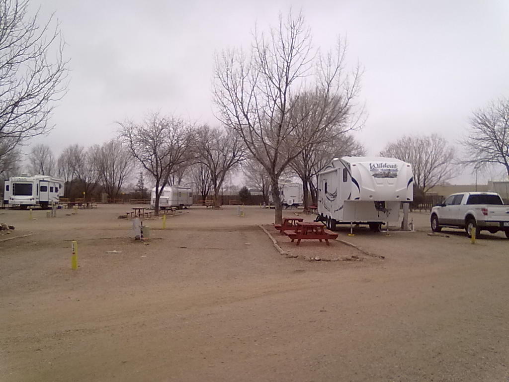
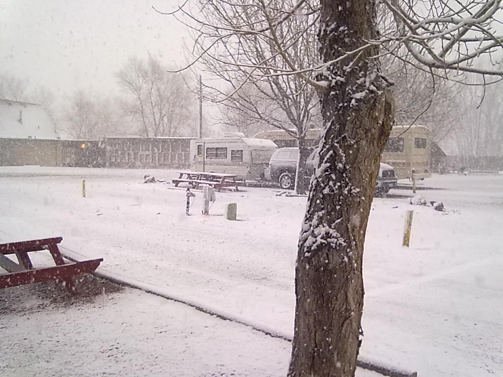
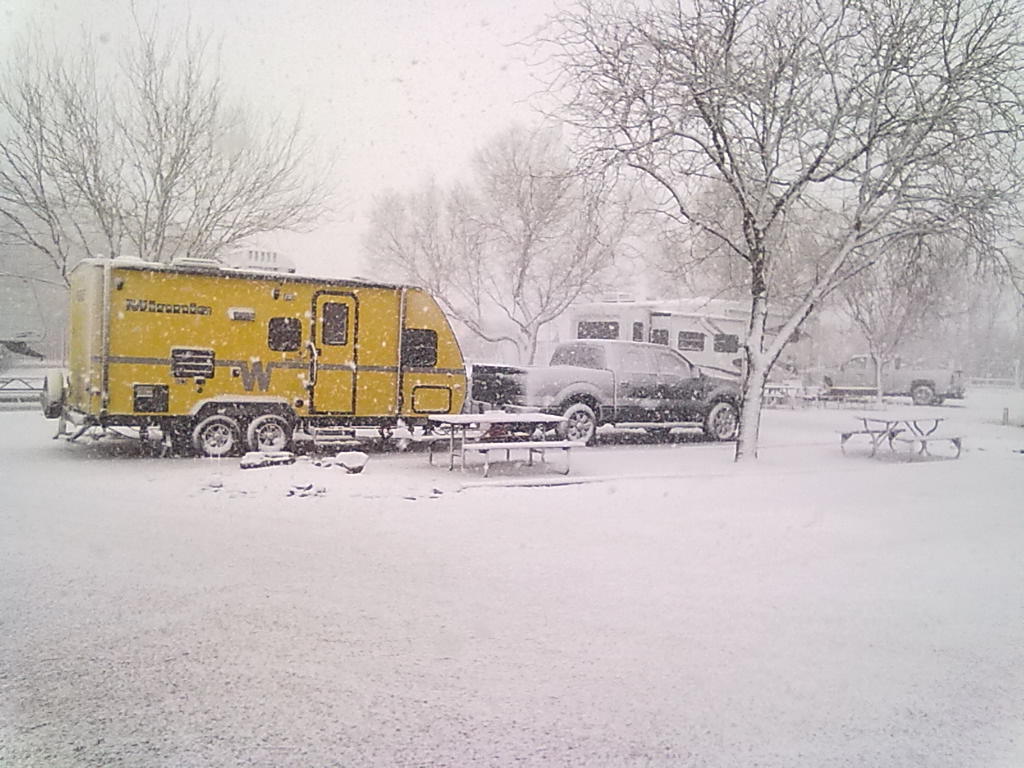
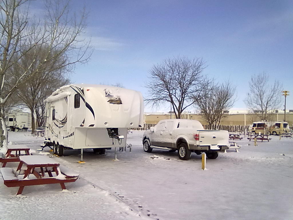
We’re parked at the KOA Kampground, just west of La Junta, CO.  We were hoping to miss the majority of the storm that has been lingering along the Colorado Front Range since Monday.  However, the forecast was a bit off for this area, instead of “some rain and a small chance of snow accumulations on grassy areas”, we’ve awakened to closer to 2” of wind driven show, ice and temperatures in the 20’s.

But, even with a wind chill that must have been approaching 0, we were comfortable overnight.  After reattaching the outside hose that was removed late last night as temps dipped below freezing, everything appears to be flowing normally.  The furnace ran a lot last night since we were not using the electric heater, wanting to make sure we were warming the basement and underbelly.  The only apparent problem is that the gray water release pipes or valves that are below the underbelly insulation are frozen.  As we make our way back into the Denver area we’ll hope for some warming and thawing.   We’ve cleared the slide of ice, winterized the water system and are all set for the cold drive home.  More from there…

KOA La Junta, CO

KOA La Junta, CO

KOA La Junta, CO

KOA La Junta, CO

KOA La Junta, CO

KOA La Junta, CO


Dodge City, Kansas

16 04 2013
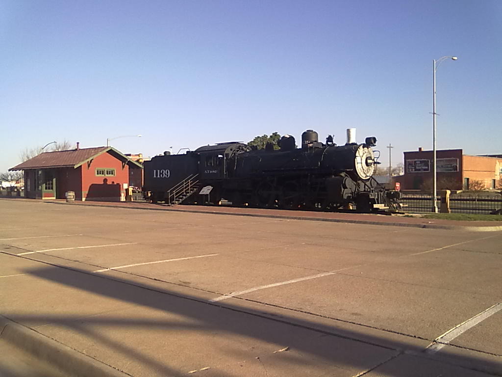
Atchison, Topeka & Santa Fe Railway No. 1139

Atchison, Topeka & Santa Fe Railway No. 1139

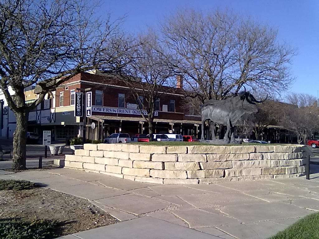
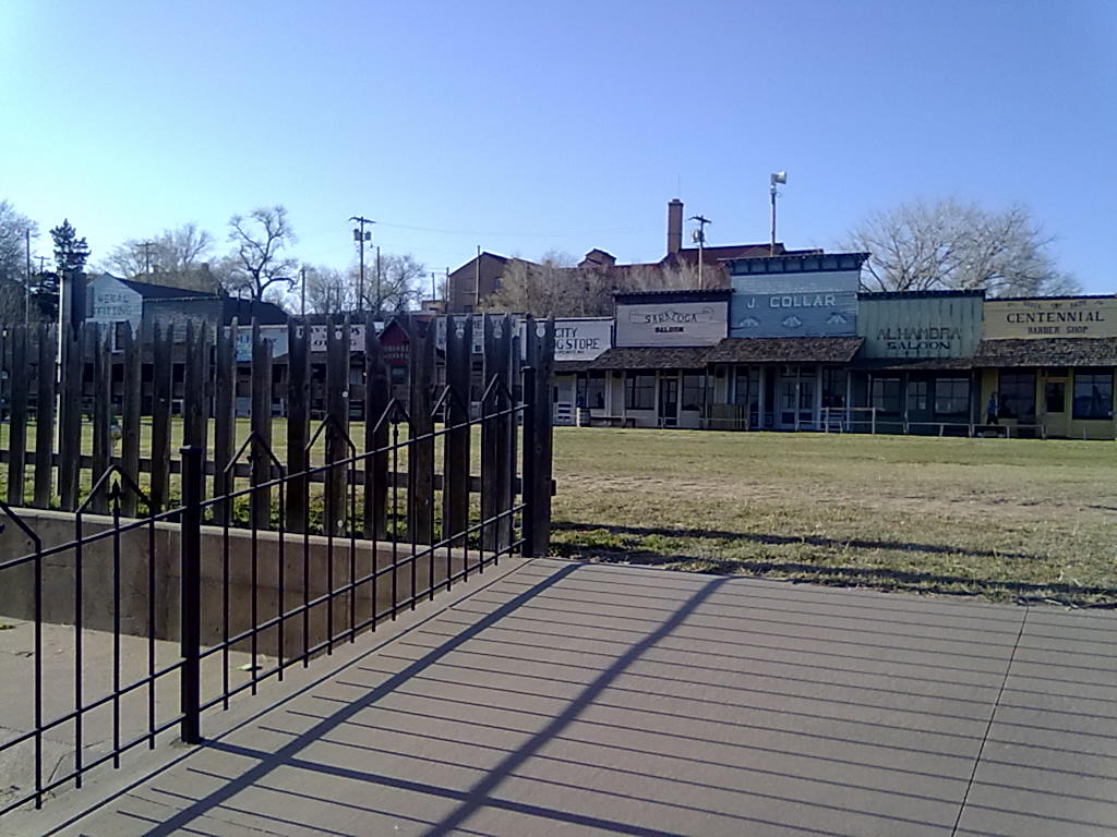
Everything about Dodge City brings the Old West to mind.  The main street through town is Wyatt Earp Boulevard.  Along Front Street is a recreation of the original Dodge City, complete with twice a day Boot Hill Gunslinger shows.  And, we’re parked at the Gunsmoke Trav-L-Park.  In history, Dodge City had more famous (and infamous) gunfighters working at one time or another than any other town in the West. It also boasted the usual array of saloons, gambling halls, and brothels established to separate a lonely cowboy from his hard-earned cash.  Perhaps most famously, Dodge City was the setting of the long-running radio and television series Gunsmoke following the adventures of fictional U.S. Marshal Matt Dillon.

Gunsmoke RV Park

Gunsmoke RV Park

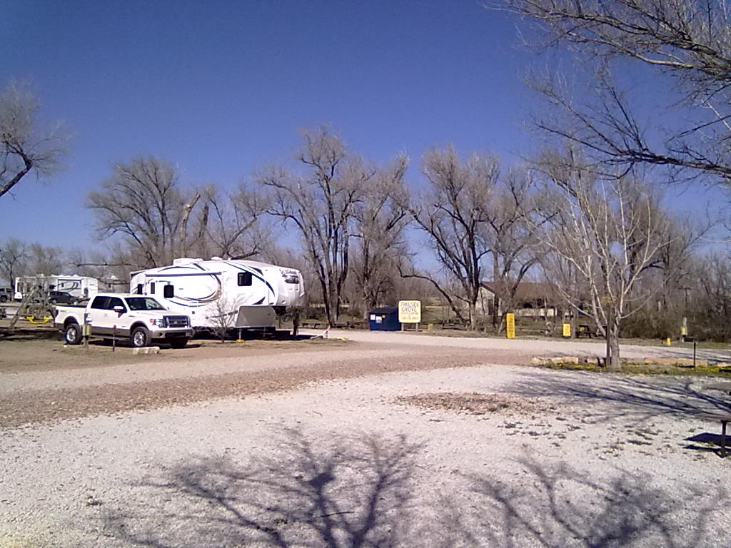
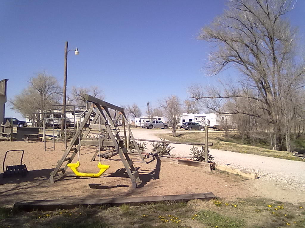
The Gunsmoke RV Park is west of town at the highway 50 by-pass.  There are about 90 sites split between front and a back sections.  The front section next to the office, pool, laundry and bunk house has about 10 pull through sites and 30 back-in sites.  There is also a large tent area that can accommodate up to 50 tents.  The back section of the park has longer pull-through spaces, more grassy areas and probably a bit quieter since it’s further from the highway and railroad tracks.  We’re in site #21 along Festus Parkway, nearly in the middle of both areas with the tent area beside us and the children’s playground behind us.   The trees here are just starting to show signs of blossoms and leaves.  With green grasses and shady trees, this would be a welcoming oasis.  Overall this park seems a bit tired.  There are an abundance of faded signs (“No Wet Swimsuits”, “No Pets”, “No Parking”), unpainted picnic tables, some windblown trash (this must be a constant battle) and some broken and rusty hookup facilities.  The showers, restrooms and laundry rooms are all clean and well kept, but are showing signs of age.  However, in respect to the owners, they have only been re-opened since March 31st after a winter closure, so maybe repairs, cleaning and refreshing is just not underway yet.  Each site provides water, electric, sewer, cable TV and Wifi.  The WiFi service is provided by Cox Cable, and is the best we’ve had on this entire trip.  This strong signal bursts data over 4MB and runs along on long downloads at around 1MB.  We’ve successfully watched Hulu HD programming on the service.

We’re going to stay one more night, hoping to miss the majority of the rain, snow and cold temperatures that are currently pushing through eastern Colorado.  Tomorrow we’ll follow the Arkansas River valley as far as La Junta, and then on Thursday (assuming clear roads) make the final dash for home.  More from La Junta tomorrow…

Gunsmoke RV Park

Gunsmoke RV Park

Dodge City, Kansas

Dodge City, Kansas

Boot Hill Museum, Dodge City, Kansas

Boot Hill Museum, Dodge City, Kansas


Sightseeing in the Arbuckles

13 04 2013
Turner Falls

Turner Falls

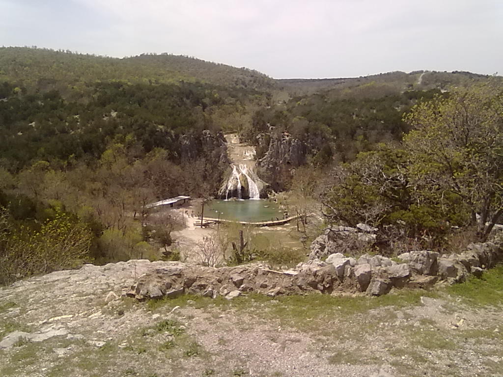
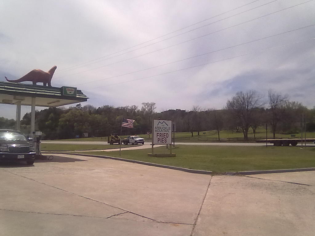
Today we did a bit of sightseeing around the Arbuckle Lake area.  Perhaps one of the most famous sites is Turner Falls.  Just across I-35 at exit #51, the 77 foot falls are at the top of a recreation area with relaxing swimming holes, slides, hiking trails, souvenir shops and other tourist attractions.  Another “landmark” is the Original Fried Pie Shop, making fruit, cream, breakfast and savory fried pies for over 100 years.  We bought a dozen (“cheaper by the dozen, but no limit”) and tried the Tex-Mex and Chicken-Veggie pies onsite.  Both were excellent,  we can’t wait to try the Sausage, Egg and Potato pies for breakfast in the morning!

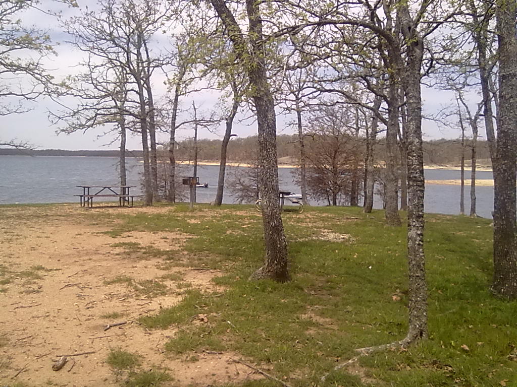
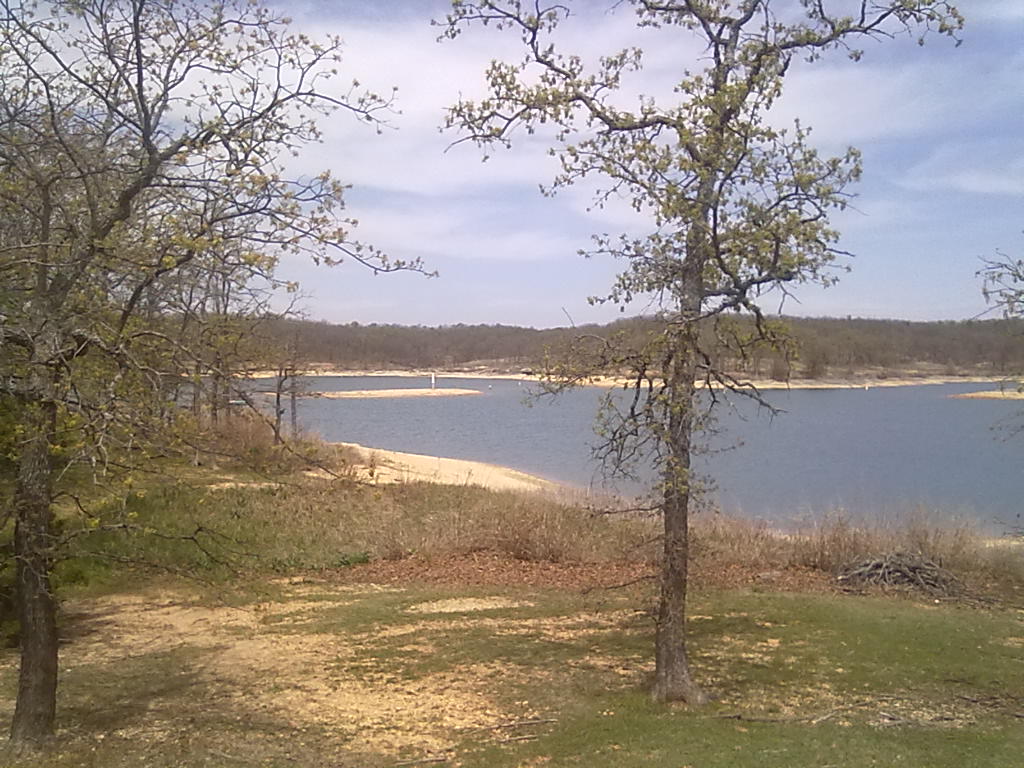
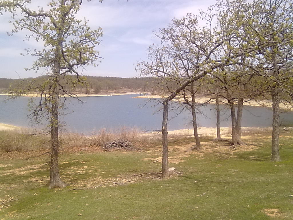
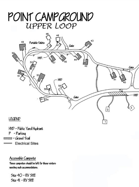
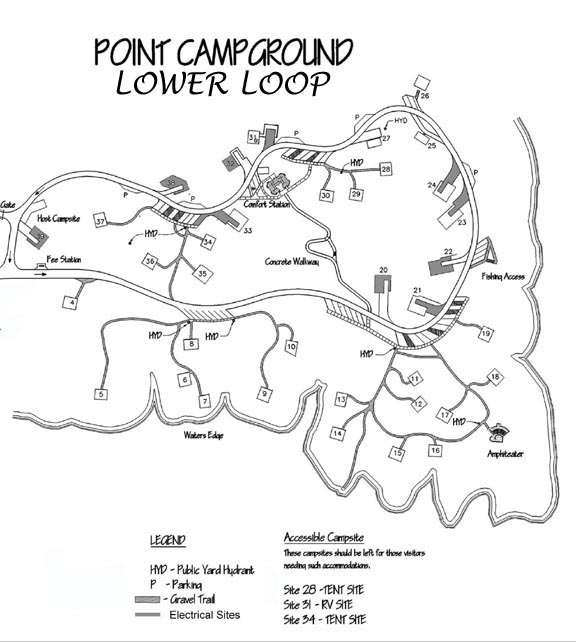
Just down the road from our RV park is the Point area of Lake of the Arbuckles, a National Recreation Area.  To our surprise, there’s no entrance fee to this area that has picnic, camping and boat launch facilities.  The Point Campground is organized around 2 loops, currently the lower loop is on a first-come, first serve basis, the upper loop is reservable.  Set on a bluff above the lake in large, private, wooded sites, these would have far surpassed our “park” environment.  However, it’s likely that cellular service is limited down next to the lake.  Outer sites seem more preferable, with #49-#51 appearing to be the best.   The sites are reservable on recreation.gov.

After a quick stop at the ONE liquor store in town, and the convenient Walmart we’re restocked and ready to head to Kansas tomorrow.  More from there…

Turner Falls

Turner Falls

Arbuckle Mountains Original Fried Pie Shop

Arbuckle Mountains Original Fried Pie Shop

Lake of the Arbuckles

Lake of the Arbuckles

Lake of the Arbuckles

Lake of the Arbuckles

Lake of the Arbuckles

Lake of the Arbuckles

Point Campground Upper Loop

Point Campground Upper Loop

Point Campground Lower Loop

Point Campground Lower Loop


Leaving Texas

12 04 2013
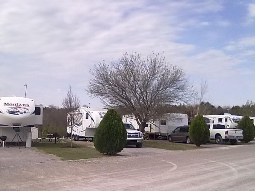
Arbuckle RV Resort

Arbuckle RV Resort

After nearly 30 days and 1500 road miles, we’ve left Texas, crossing into Oklahoma today.  Leaving Stephenville we skirted west of Ft. Worth to miss the NASCAR traffic that was building for the Texas Speedway races this weekend and entered Oklahoma on Interstate 35.

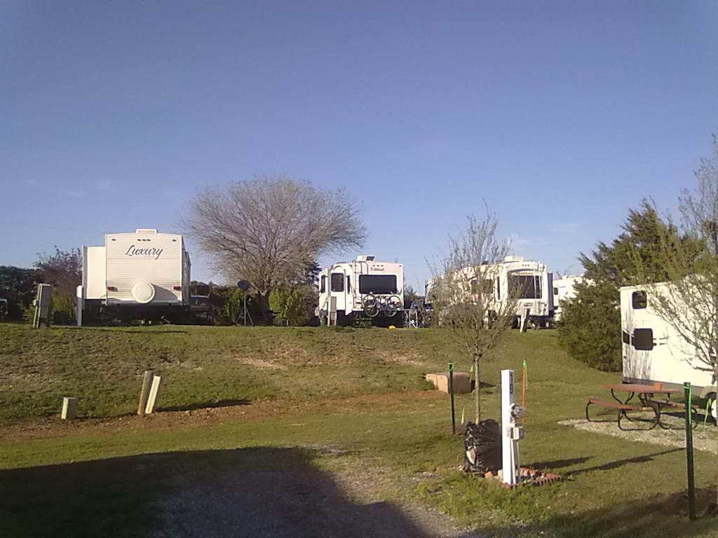
Trees here are just starting to move into spring, many are blooming and only a few have leaves.  We’re parked at Arbuckle RV Resort, on the northern edge of the Lake of the Arbuckles in the Chickasaw National Recreation Area.  More from here later…

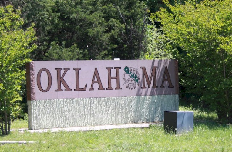
Welcome to Oklahoma

Welcome to Oklahoma

Arbuckle RV Resort

Arbuckle RV Resort


Through the Texas Hill Country

11 04 2013

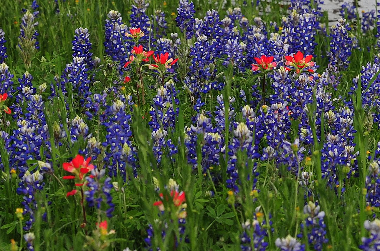
We’ve left San Antonio and are headed directly north on highway 281 toward Johnson City and on to Stephenville, TX.  As we’ve traveled through west Texas and along the Rio Grande River valley we’ve noticed the very dry conditions – the Texas drought has by no means subsided.  However, if any region looks “normal” it’s this area of the Hill Country.  The grasses are tall, the rivers flowing, many trees in full blossom or fully covered in leaves and the wild flowers are beautiful.  The Bluebonnets are the stars in this area – supported by red Texas Paintbrush, the yellow Greenthread and the purple Winecup.  The plan is to make a quick overnight stop around Stephenville, TX and then continue north into the Arbuckle Mountains of Oklahoma.  More from there later…

Hoof Prints Ranch, RV Park and Horse Motel, Stephenville, TX

Hoof Prints Ranch, RV Park and Horse Motel, Stephenville, TX

Hill Country Wildflowers

Hill Country Wildflowers


Waiting out the storm in San Antonio

10 04 2013
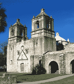
Mission Concepcion, San Antonio

Mission Concepcion, San Antonio

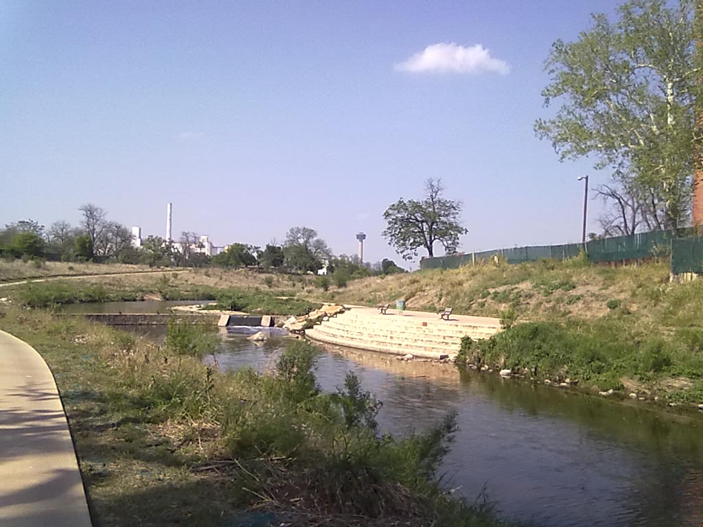
With the threat of thunderstorms and hail across our homeward path, we’ve opted to spend another day in San Antonio. We arrived here on Monday from Harlingen.  We’re parked at Travelers World just south of downtown San Antonio.  We opted to check out this park because of the location along the San Antonio bike/hike trail system.  Via the trail, we’re only about 4 miles from downtown. The trail continues about 6 miles south just beyond the I-410 loop and incorporates 4 of the Spanish Colonial missions built along the San Antonio River starting in the 1720s.

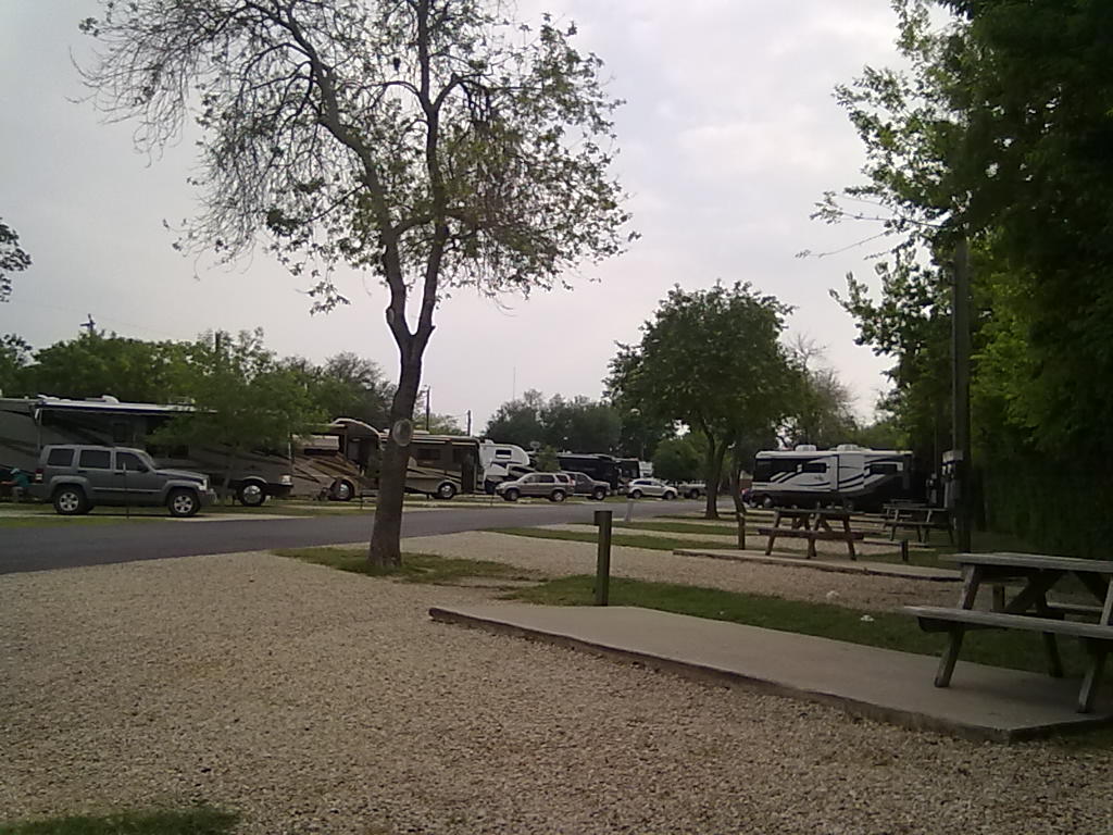
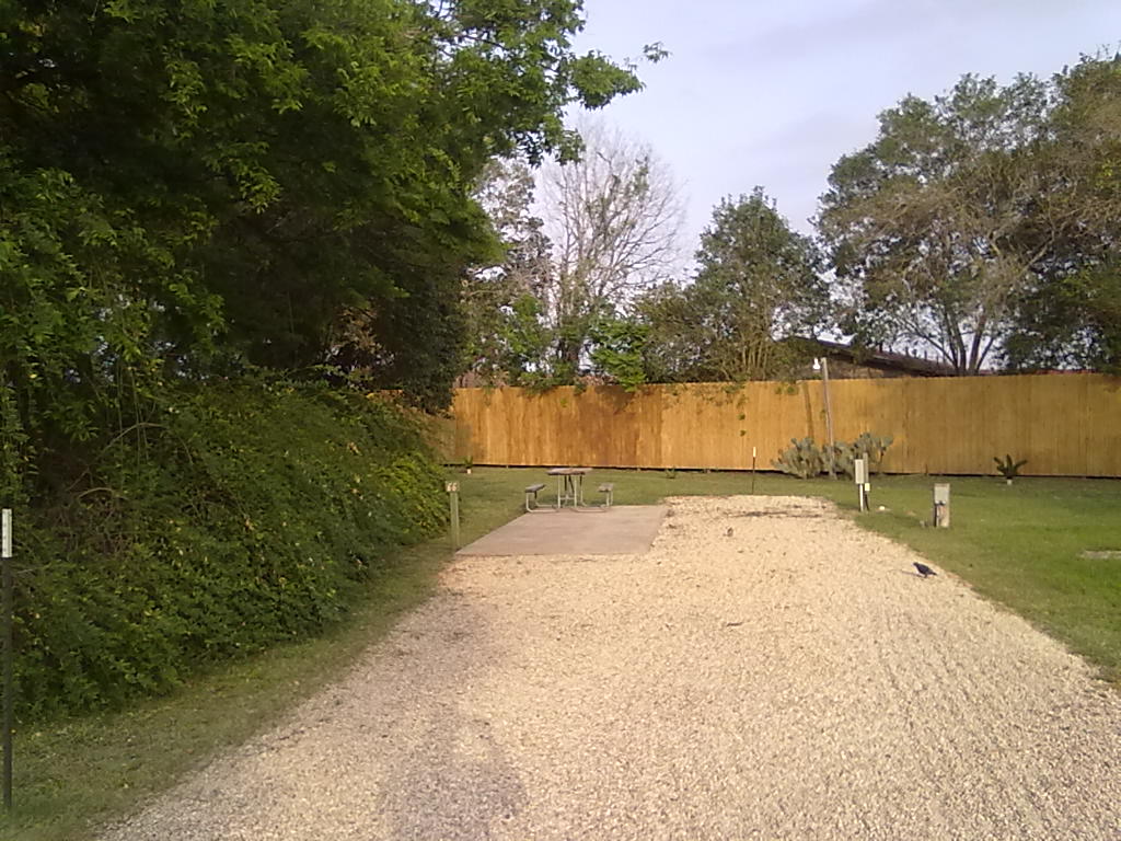
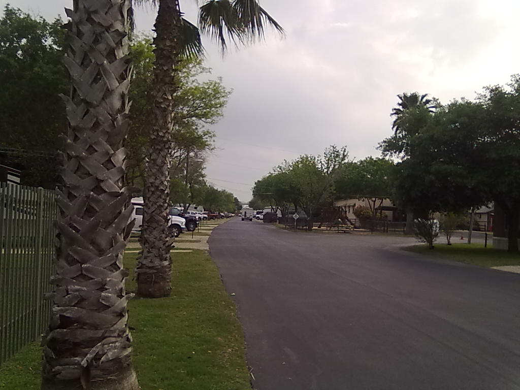
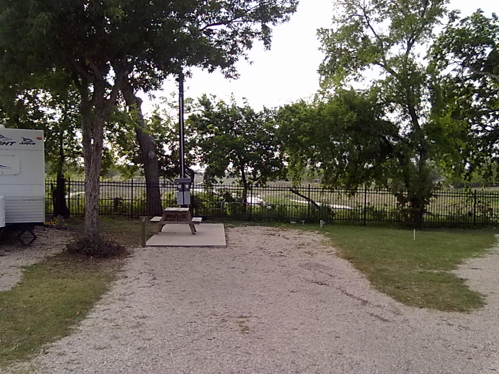
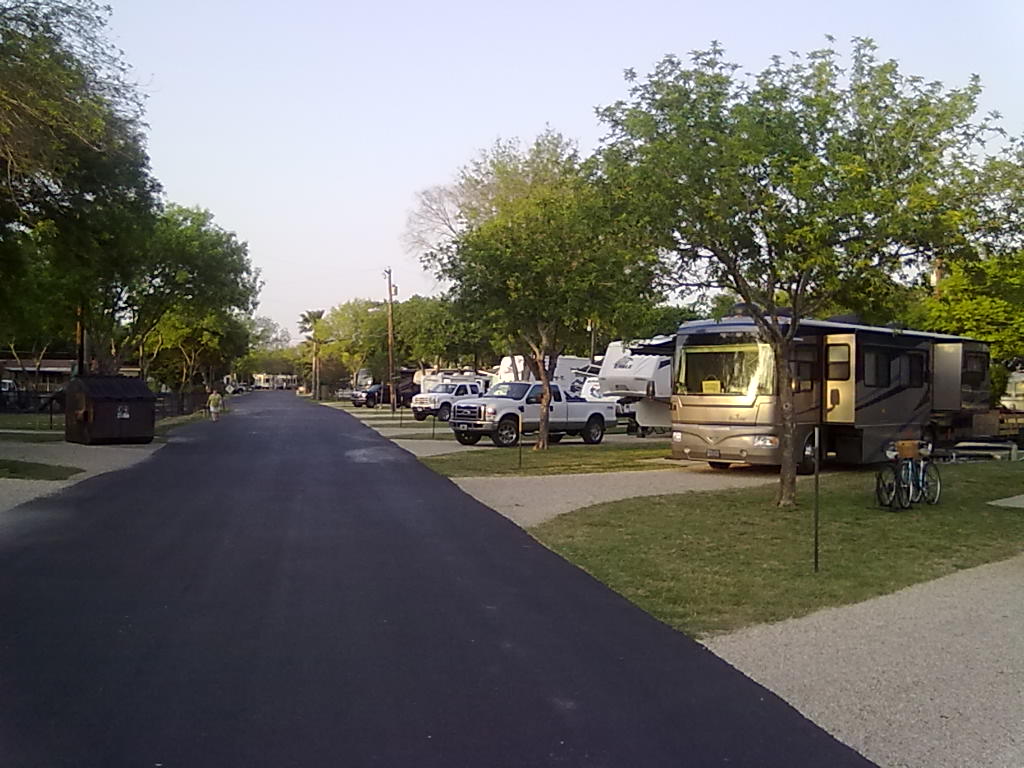
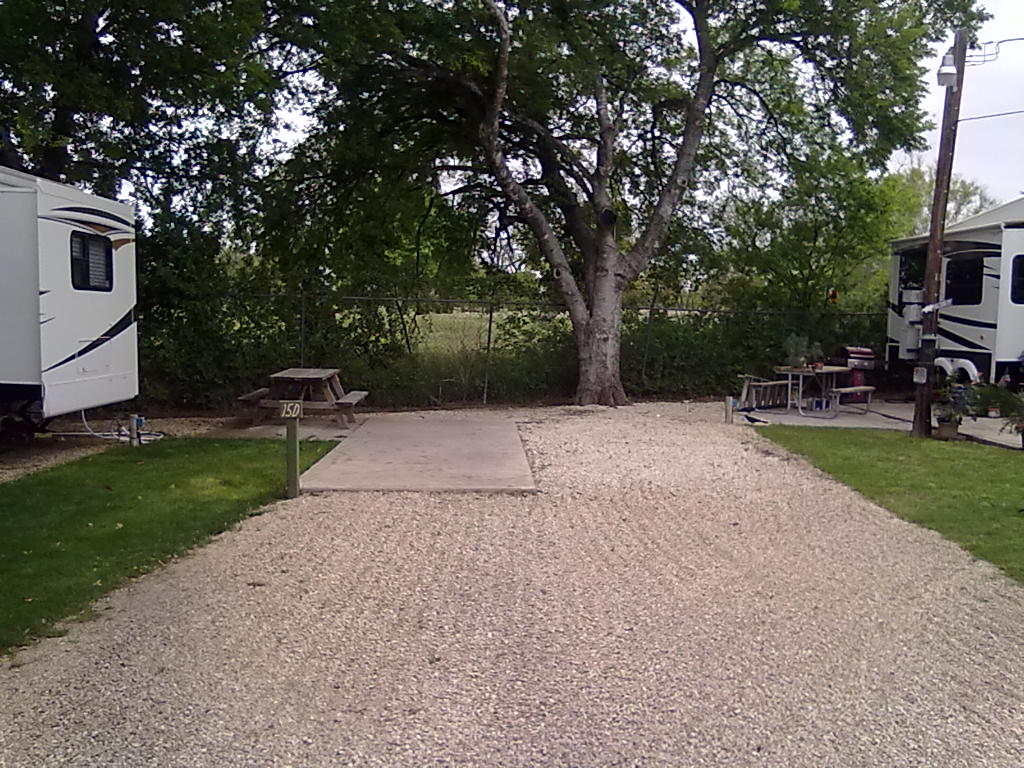
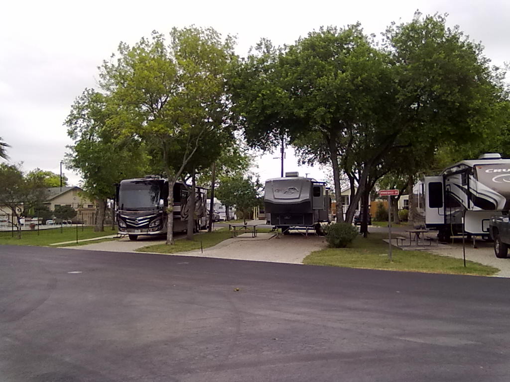
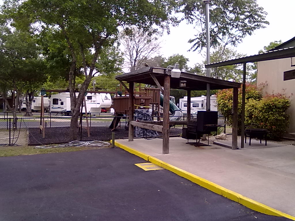
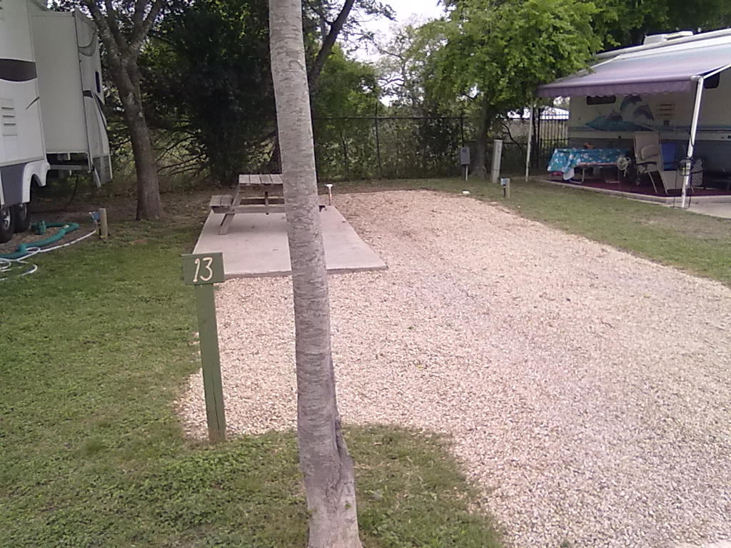
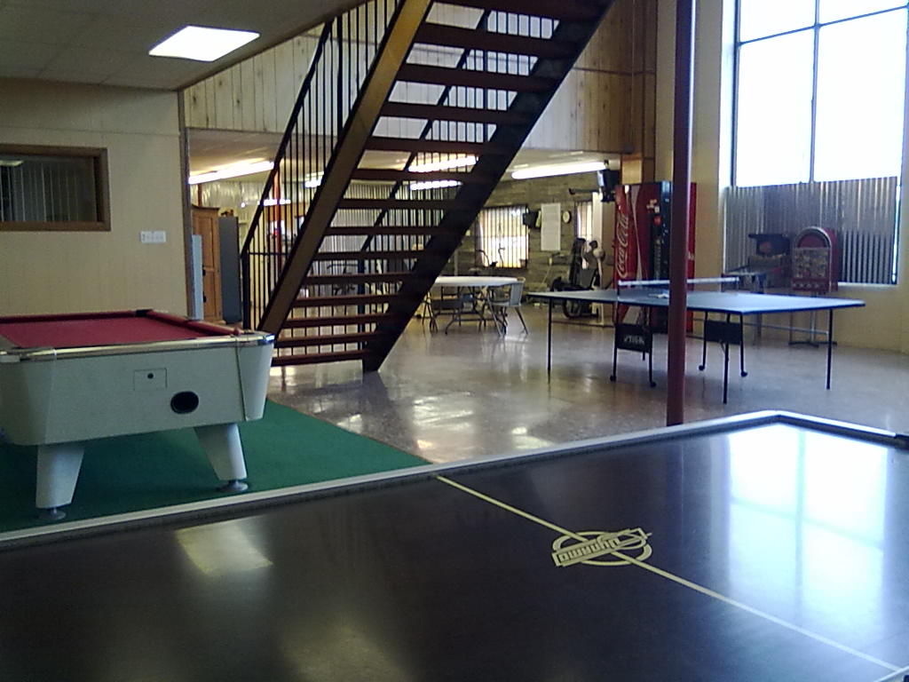
Travelers World has 165 full hookup sites, beautiful trees, lawns, individual concrete patios with picnic tables and is impeccably clean.  Besides the office, library and game room there is a small pool area, a dance hall, a shower house and a few maintenance buildings scattered around.  One side of the park backs up to Riverside Golf Course with amazing views across the course and along the San Antonio river.  For river views the best sites are along Allegro Circle, sites K-U.  For privacy overlooking the golf course, sites 10-15H are best.  The largest sites seem to designated for large trailers and coaches, run right down the middle of the park in sites 83-105.  We’re in a smaller back-in site #125, along the golf course, but very tight when you have neighbors in the sites immediately adjacent. (you can touch your neighbors slide-out while sitting at your picnic table) (SITE MAP) The WiFi service is provided by Tengo and is adequate for most uses.   We did have a few short term outages each day and found that it wasn’t fast enough for Hulu broadcasts.  This is our 3rd stay at a park with Tengo Internet, and all have been less than impressive.  However, there is good Verizon 3G and somewhat flakey T-Mobile 3G and 4G coverage available as alternatives.

Travelers World, San Antonio

Travelers World, San Antonio

Travelers World

Travelers World

Travelers World

Travelers World

Travelers World

Travelers World

Travelers World

Travelers World

Mission Reach Bike Trail

Mission Reach Bike Trail

Travelers World

Travelers World

Travelers World

Travelers World

Travelers World

Travelers World

Travelers World

Travelers World

Travelers World, Game Room

Travelers World, Game Room

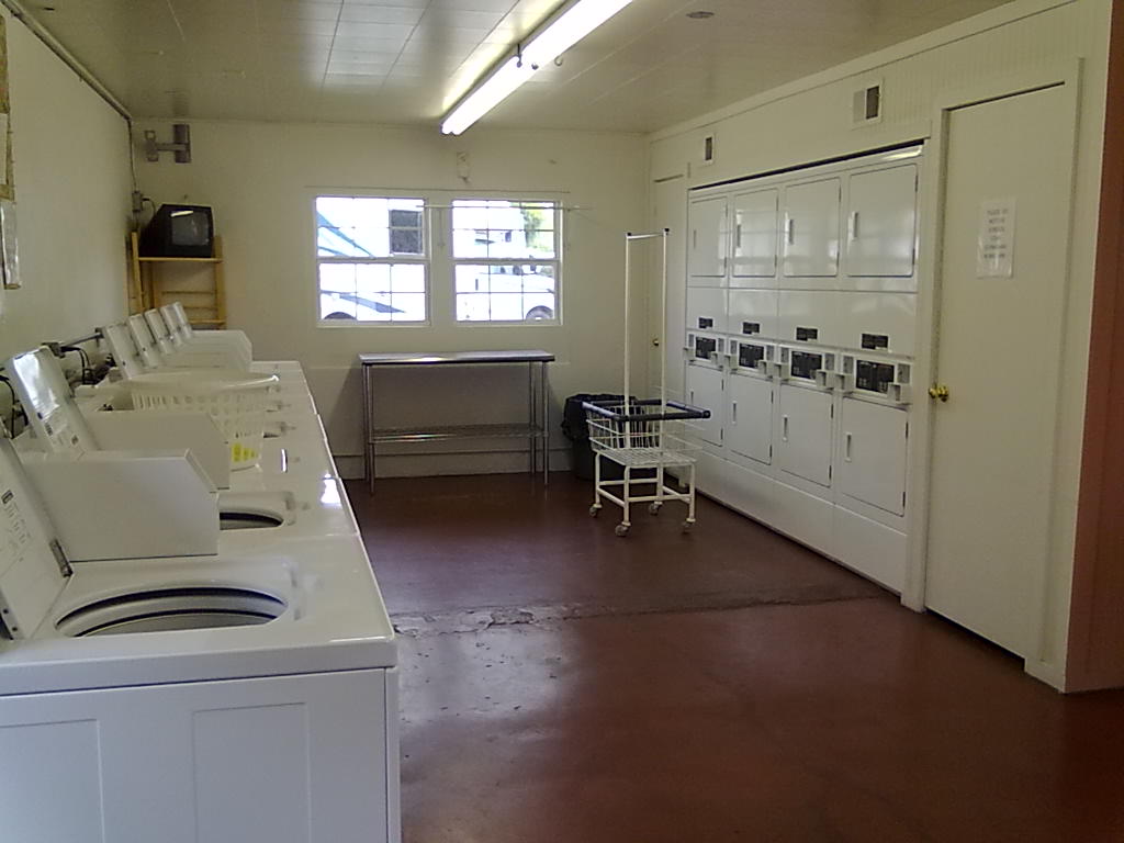
Travelers World, Laundry

Travelers World, Laundry

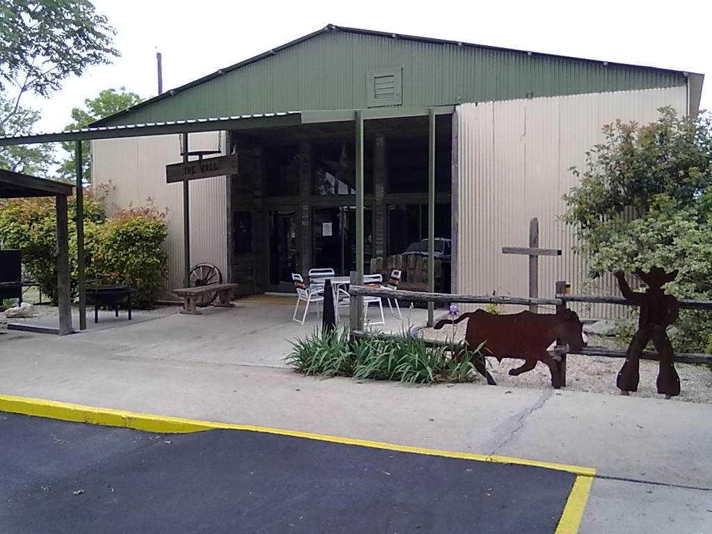
Travelers World, Dance Hall

Travelers World, Dance Hall