The Willamette River Valley

18 06 2024

The Willamette River Valley – just the name conjures up images of wineries, forests and rushing waters.  As it turns out, it’s all of these things and more.  The Willamette River flows for nearly 200 miles from the high mountains south of Eugene until it reaches the Columbia just outside of Portland.  In these mountains about 40 miles southeast of Eugene is Westfir  – a former lumber town, now a small tourist destination with picturesque views of mountains, forests, flowers and their famous covered bridge.
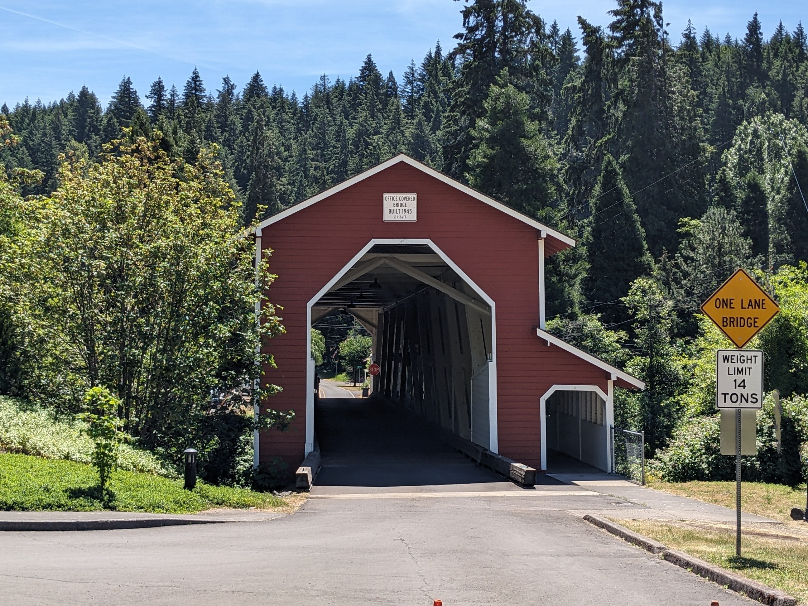
Office Covered Bridge, Westfir, OR

The company town of Westfir was first established by the Western Lumber Company around 1923. The mill produced Douglas Fir lumber, much sold to the Southern Pacific Railroad as they pushed westward over Willamette Pass between Klamath Falls and Eugene.  The Office Covered Bridge, the longest existing covered bridge in the state, joined the mill site to the town and mill office over the North Fork of the river.  This former company office building is now the beautiful Westfir Lodge with 9 guest rooms, a small market and comfortable outdoor patio.
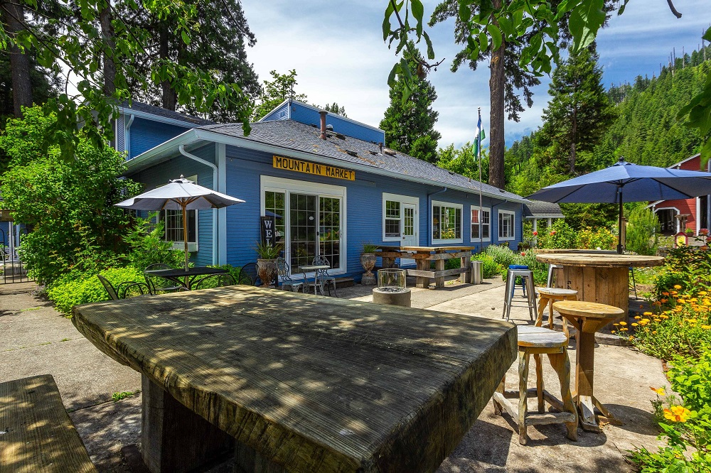
Westfir Lodge, Westfir, OR

We’re parked at Casey’s Riverside RV park, in a pull through full hookup riverside site #44.  This is a beautiful park!  Each of the 56 sites enjoys shade from the well-manicured trees and shrubs.  In between each site is lush green grass and beautiful flowers.  Riverside pull through sites run about $60/night, and back-in, off river sites are $50.  Other amenities at Casey’s include 2 guest houses, a small, clean laundry room, a group use Pavilion and a large outdoor fire pit area.
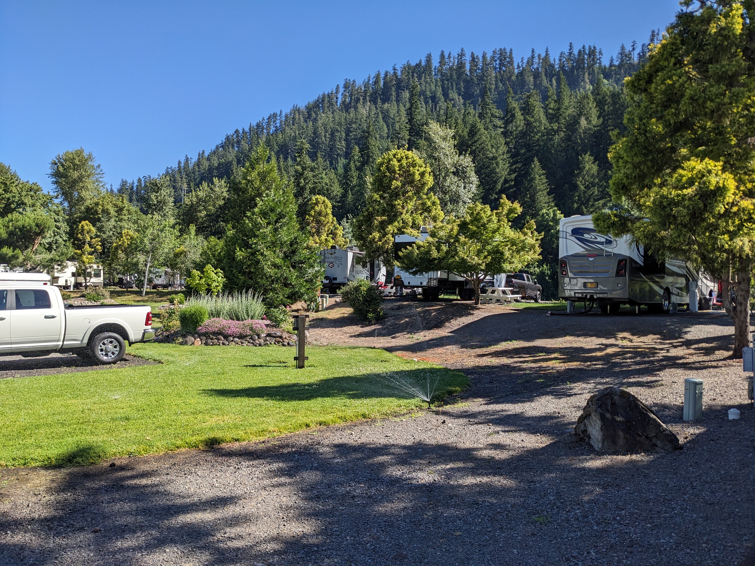
Casey’s Riverside RV, Westfir, OR
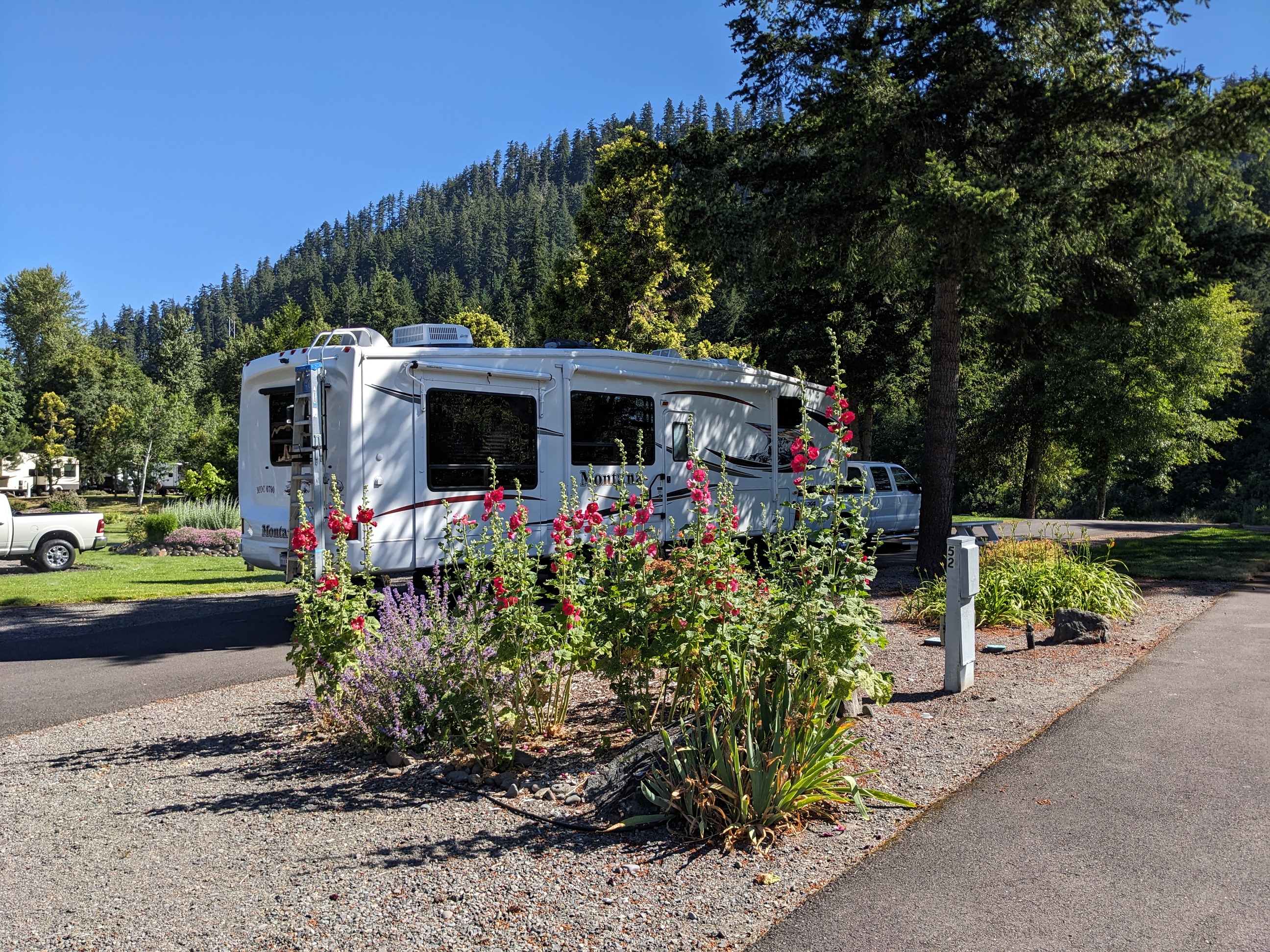
Casey’s Riverside RV, Westfir, OR
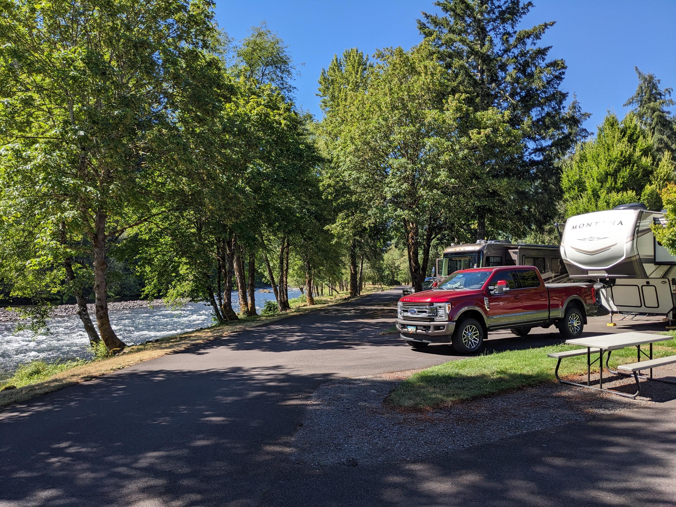
Casey’s Riverside RV, Westfir, OR

Outdoor activities include great fly fishing, hiking, biking and river rafting.  With newly acquired e-bikes, we were anxious to explore some of the biking trails in the area.  Old forest roads and railroad easements provide miles and miles of enjoyable riding in the mountains and along the river near Casey’s. Our first ride was along Buckhead Creek on Forest Service Road #5828 which is a fairly aggressive uphill trail. Our next ride, in search of the covered bridge, took us into the small town of Westfir for pictures of the famous bridge and cold beers on the patio at the Westfir Lodge.  Our 3rd ride, and the longest at about 20 miles, took us along North Shore Road which turned into Forest Service Road #5821 and ended with a beautiful view of Lookout Point Lake.   Along with our biking adventures others in our group enjoyed floating the river and most importantly, Sunday night pizza at Big Mountain Pizza in nearby Oakridge – which was delicious!
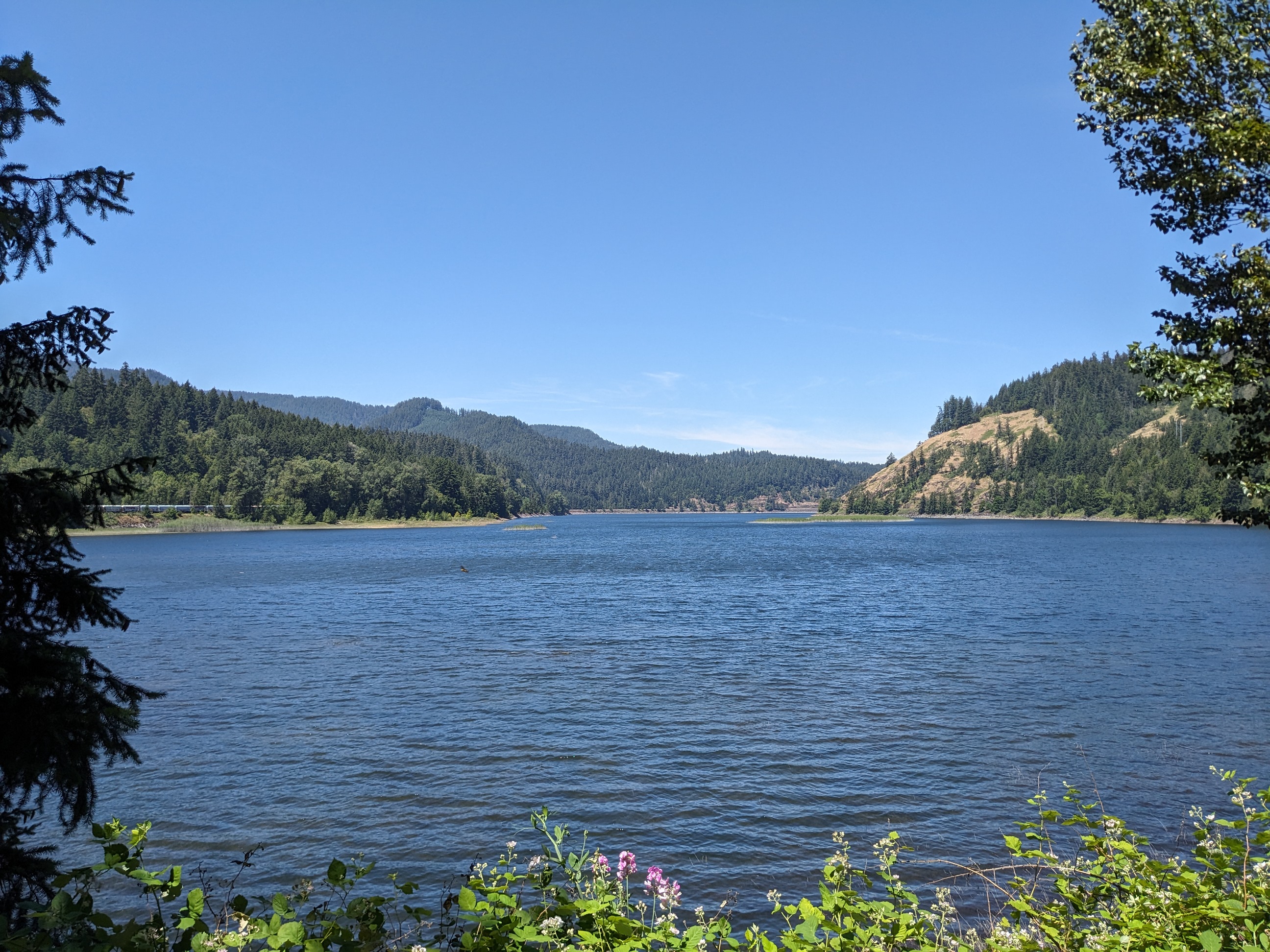
Lookout Point Lake, near Eugene, OR
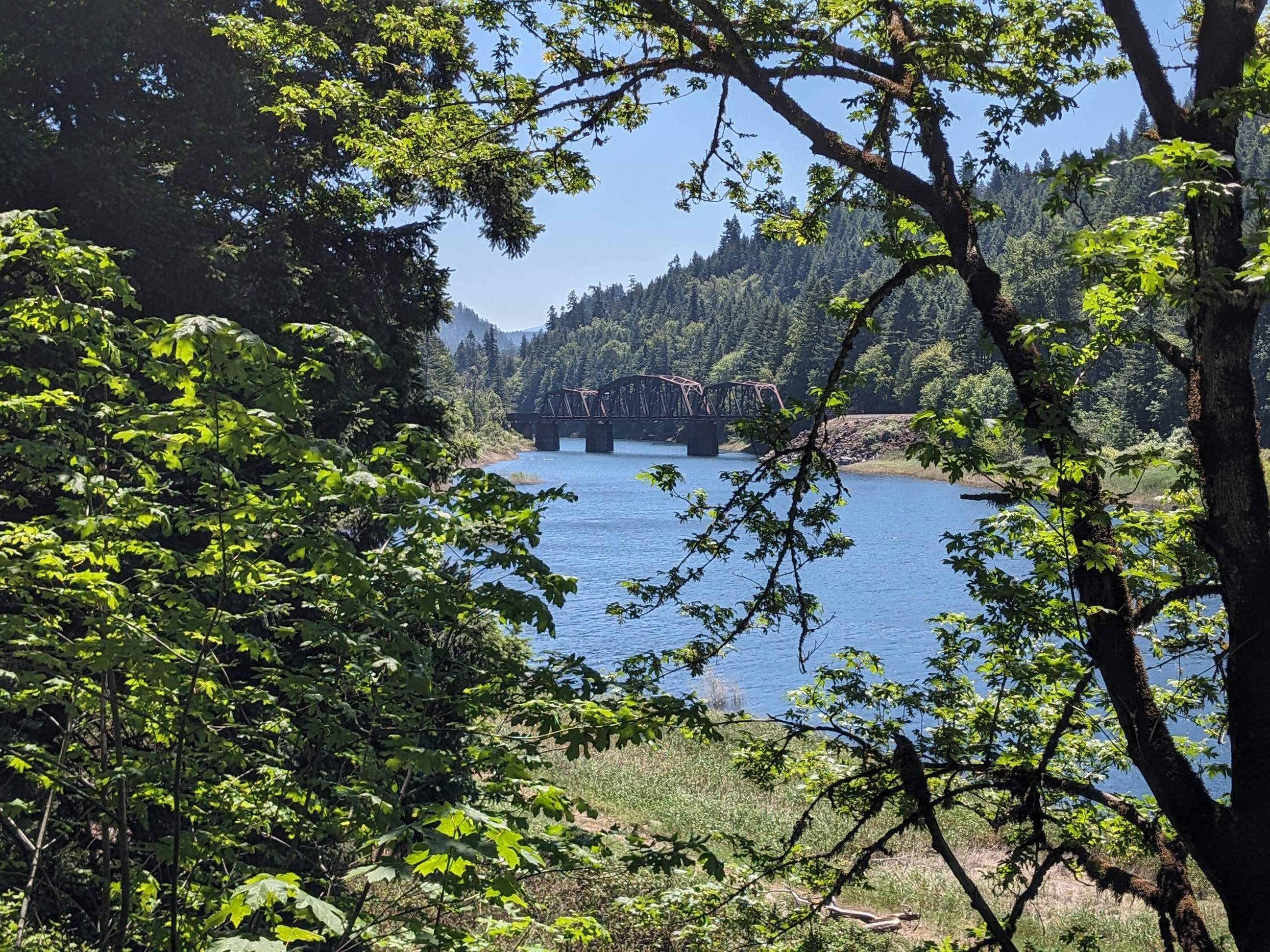
Lookout Point Lake, near Eugene, OR

After a week enjoying perfect weather and fun times at Casey’s, we’re packing up and bound for Portland.  More from there…
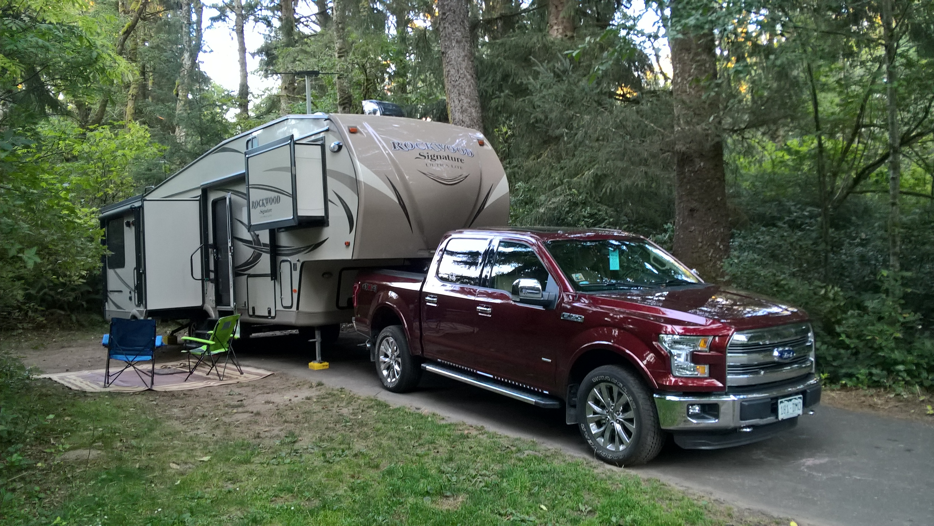


Fort Stevens State Park

25 08 2016
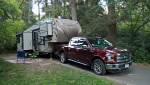
Ft. Sevens, OR Site #156

Ft. Sevens, OR Site #156

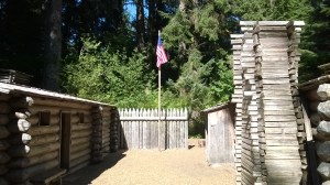
Good Morning from Fort Stevens State Park, location of the only World War II Japanese attack on the mainland US.  Fort Stevens and its associated military bunkers were commissioned during the American Civil War to protect the mouth of the Columba from the British .  In 1942 a secret Japanese submarine surfaced and fired 17 times toward the general location of Fort Stevens.  With virtually no damage, the Fort’s commanders opted to hold fire to avoid giving away their exact position.  Not to mention they believed they were seriously under powered, not actually sure their artillery could reach the sub.  After several nervous hours the sub retreated and never fired on the US coast again.

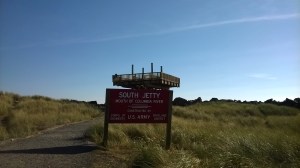
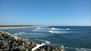
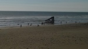
Fort Stevens State Park occupies most of the area on the peninsula of the south shore of the Columbia River.  Originally nearly 6 miles wide, the river has been compressed into a 2 mile mouth with a huge jetty project that is incorporated into the park.  Also in the park is the famous skeleton of the Peter Irondale, a four-masted ship that ran aground while trying to navigate a foggy, windswept Columbia in 1904.  The very large campground of over 400 sites is set in a  dense cedar forest, organized around 8 loops and provides both water/electric sites as well as full hookups.  We spent 1 night in site E-156 and another night in E-148. Both sites are nice deep, private sites.  156 is a bit larger, and set-back in the dense trees, a bit darker and quieter.  148 is on the corner of the E loop, between the inner sites and those along the main roadway.  It also provides plenty of space, privacy and has a bit more sunlight available during the day.

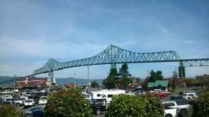
From Fort Stevens we’ll continue north on 101, this morning crossing over the historic Astoria bridge and enter Washington state.  More from along the Washington coast…


Cape Kiwanda RV Resort

23 08 2016
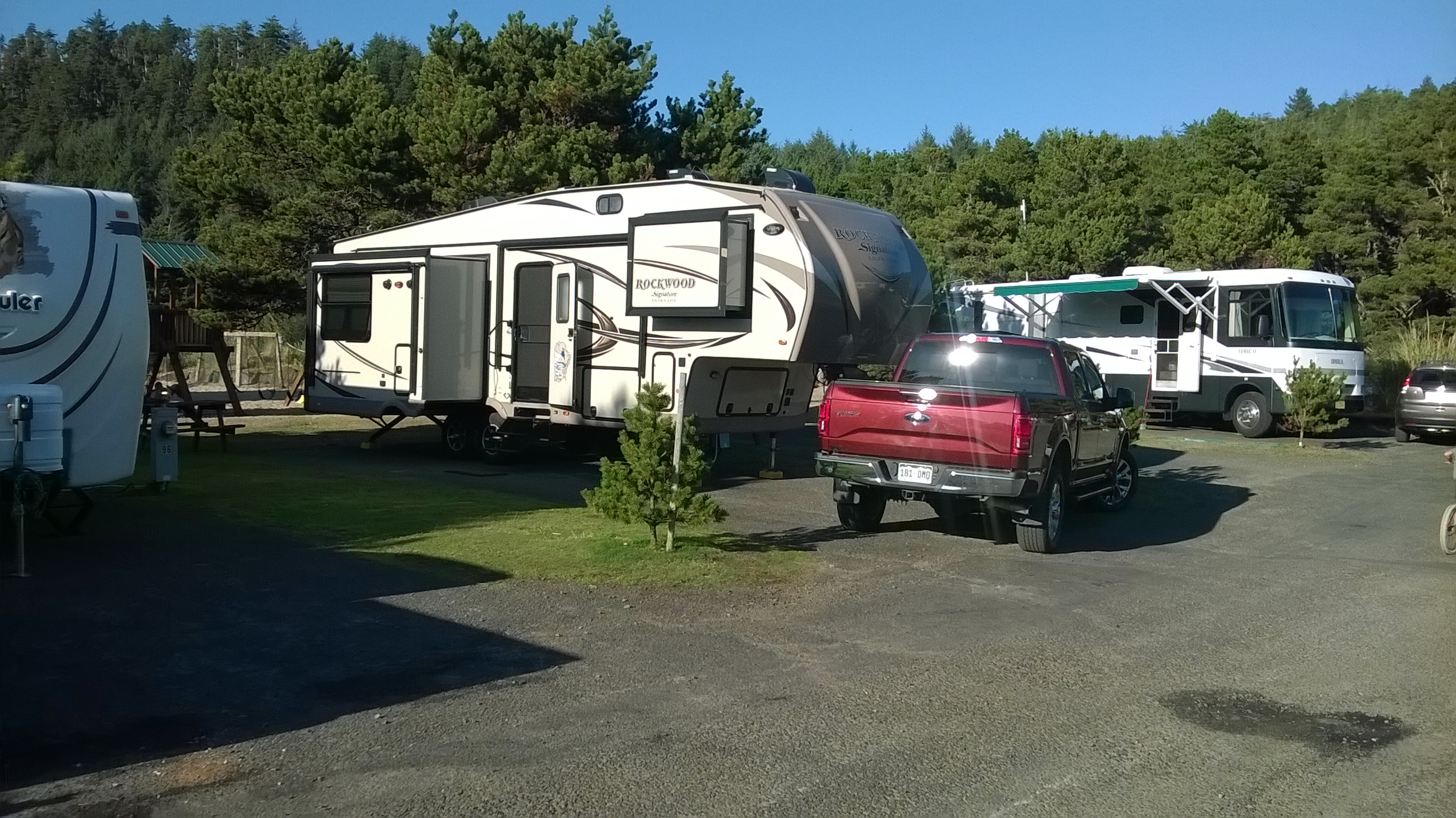
Cape Kiwanda RV Resort site #97

Cape Kiwanda RV Resort site #97

We’re parked at Cape Kiwanda RV Resort in Pacific City, OR.  This sea-side resort has about 150 RV spaces, some with park models plus about 10 premium tent sites in a tall stand of trees at the rear of the property. Our site #97 backs up to a large playground and volleyball court that the many kids in the park seem to love. This is a perfect spot for a family, not so much for those of us that don’t appreciate the screaming kids and yelling adults.  But, this RV Park does offer nice sites, #101 across from us would be ideal for both space and privacy.

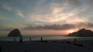
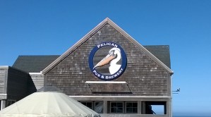
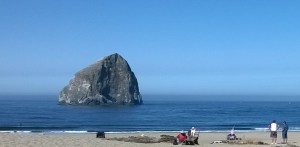
Our first dinner in Cape Kiwanda is the local Pelican Pub and Brewery just across the street and on the beach in front of Haystack Rock.  The fish and chips were good, the beers on tap even better.  Tomorrow we’ll spend the day working and getting caught up on laundry.  We’ll continue north on Wednesday – more from further north on the Oregon coast…


Broken Arrow Campground

21 08 2016
Broken Arrow Campground, Umpqua National Forest

Broken Arrow Campground, Umpqua National Forest

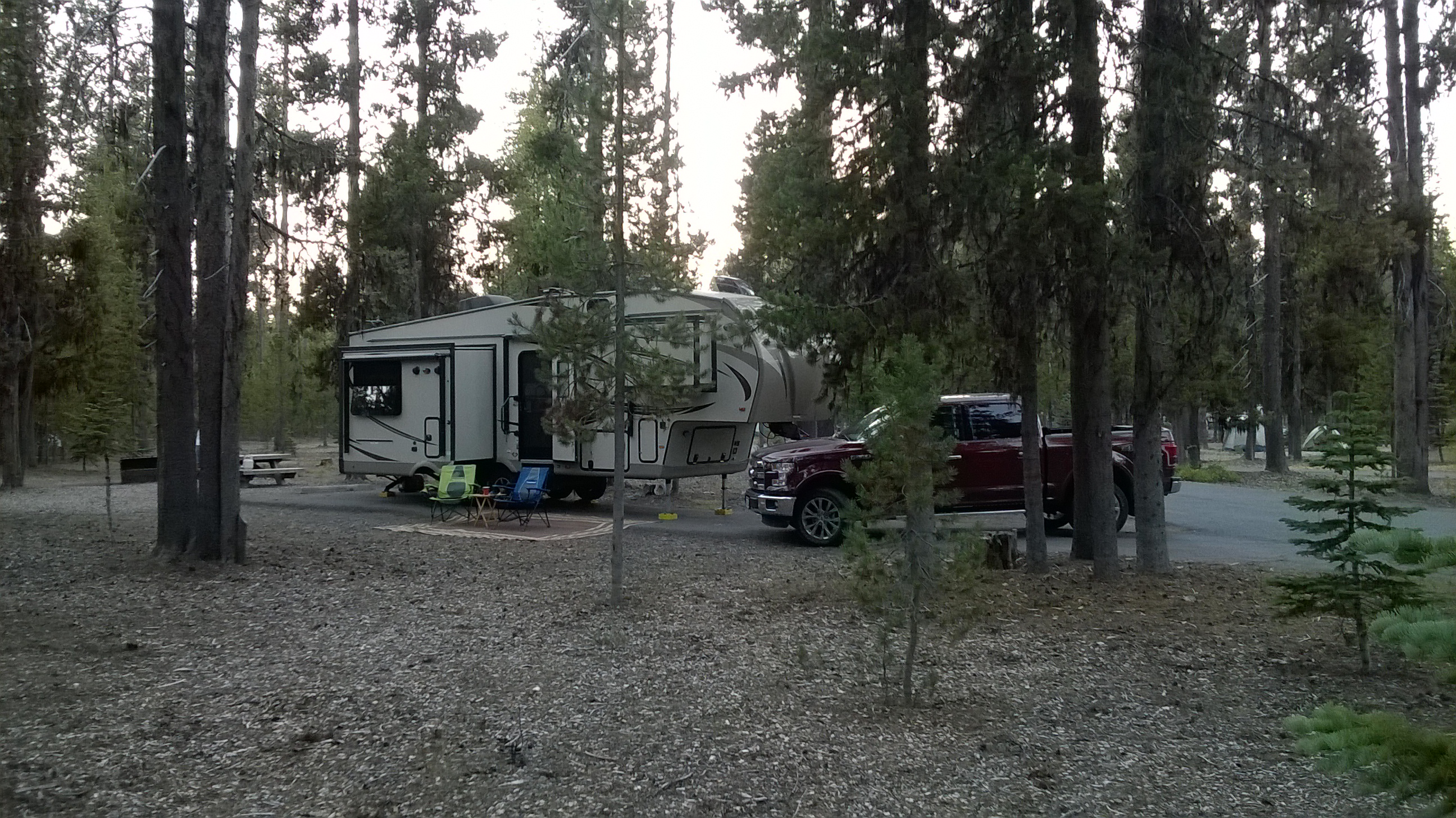
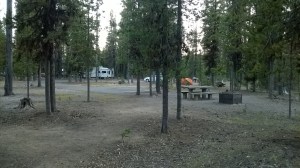
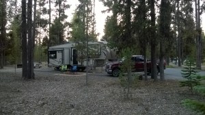
Good Morning from Crater Lake National Park, more precisely site #H14, Broken Arrow campground, Umpqua National Forest.  We’re parked in dense forest of tall lodge pole pines on the south shore of Diamond Lake.  Arriving on Friday, our reserved site, #H2 with 40 foot length specification turned out to be a double car parking area, much more adequate for tent campers than a 33 foot fifth wheel.  Fortunately the camp host is nearby and on-duty and had two sites set aside just for this type of problem.

As it turns out, H14 is probably one of the best sites in the campground with a 50+ foot driveway and plenty of space around it.  All sites at Broken Arrow are dry, but there are plenty of water faucets scattered throughout this huge park.  There’s also a central dump station, central shower house and restrooms in the center of most loops.  Even after walking the campground twice, we’re not quite sure of walk-up, versus reservation versus group sites.  There appears to be about 40 sites near the entrance that are walk-up.  Then, the entire “H” row is reservable.  Then, there are 6 more loops toward the back of the campground that seem to be behind a group reservation sign.  But, we saw walk-ups and single sites in use back here, so not quite clear on the status of the sites.  The campground seems unusually quiet, maybe 50% occupancy, for a end of summer weekend.

Saturday we spent most of the day at Crater Lake enjoying a beautiful warm and clear Oregon day.  Today we’re packing up and will hit the road for the Oregon Coast.  More from Jessie M Honeyman State Park…


A Day at Crater Lake National Park

20 08 2016

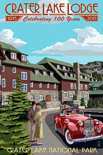
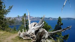
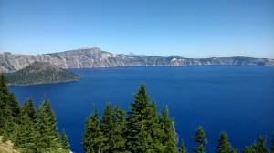
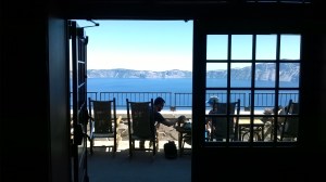
Crater Lake LodgeAfter a quick email check we’ve opted to start our day at Crater Lake with a restaurant breakfast.  Unfortunately a bit of a slow start and some unexpected road construction causes us to arrive at Annie Creek Restaurant in Mazama Village just as they are switching over to lunch.  But their tasty sandwiches make a fine substitute for breakfast.  After a quick drive around the Mazama Village campground, we head up to the Visitors Center, then to Rim Village.  The jewel of the Crater Lake crown must be the beautiful Lodge.  Opened in 1915 and recently completely renovated, the Lodge features what is perhaps the best view of the caldera and lake.

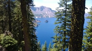
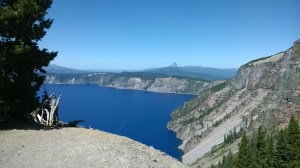
Formed 7700 years ago, Crater Lake is the result of a massive volcano estimated to be over 12,000 feet tall literally collapsing onto itself.  After spewing enough ash that would cover the state of Oregon 8 inches deep, the magma chamber could no longer support the weight of the mountain and it collapsed into what is today Crater Lake.  The deepest lake in the US at nearly 2000 feet, and thought to contain the most pure water of any lake in the world, the lake level is maintained by only snow and rain.  And, with an average snowfall of 44 feet, there is plenty of melting water to keep the lake refilled from seepage and evaporation.

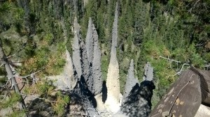
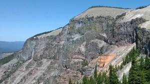
Entering along the western rim, we continue along the eastern rim to complete the circumnavigation of the lake in about 3 hours.  Plenty of rim-side parking spots and one side-excursion to The Pinnacles provided plenty of photo opportunities and information on the lake, it’s two small islands and even a castle on the edge of the caldera.  Overall a great day in a beautiful National Park!