The Yakima River Valley provides over 75% of this crop in the United States. What’s the crop? (leave a reply below)
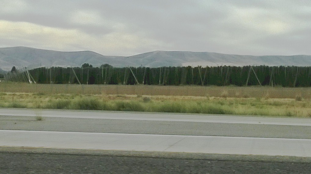
What’s the crop? Along I-82 in southeast Washington.
The Yakima River Valley provides over 75% of this crop in the United States. What’s the crop? (leave a reply below)
What’s the crop? Along I-82 in southeast Washington.
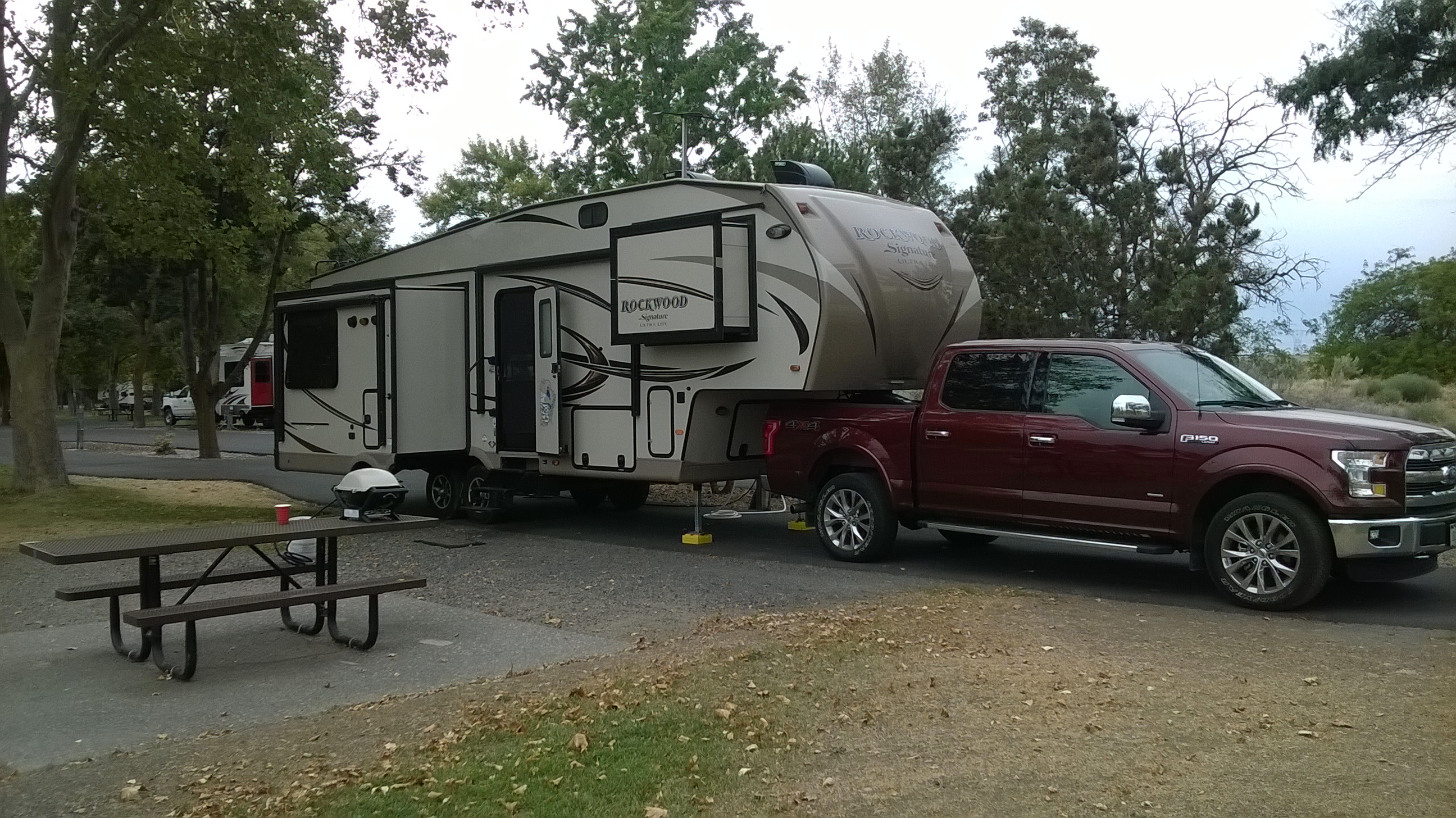
Plymouth Park, COE, Plymouth, WA site #16
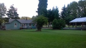
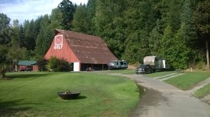
The small, 32 site park along the Columbia River is an oasis of lush grass and tall trees in the otherwise brown landscape of fall in western Washington. All sites offer water & electric for $24/night, about half also provide a sewer port for an additional $3/night. Sites are long and level pull-throughs, most with shade, a picnic table and fire ring. There are 3 back-in sites near the center of the park, next to the camper services building providing flush toilets, showers and a single washer/dryer ($1.25 wash, $.25/10 minutes dry).
Nearly in the shadow of the Umatilla Bridges, which span the Columbia River into Oregon, and only about 2 miles downstream from McNary Dam, the park is operated by the US Army Corps of Engineers. Lewis and Clark camped here or near here on April 26th, 1806.
Verizon and T-Mobile data were both usable with the booster. There were about 20 channels of OTA signal, including all major networks. While we’re just utilizing this park for a quick overnight, it would make a good home base for visits around the area. We’ll continue SE tomorrow, ending up on the banks of the Snake River at Farewell Bend. More from Oregon…
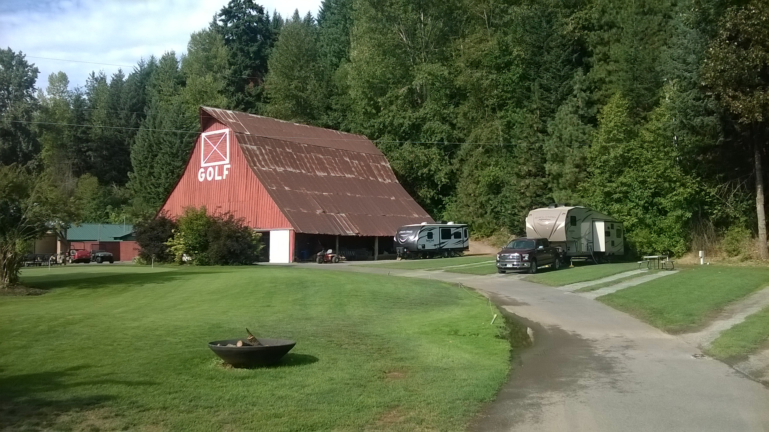 Good Morning from Cle Elum, WA. We’re parked in site #8 at Sun Country Golf Resort, a beautifully landscaped course in the central Cascades a mile or two off of I-90. With only 14 sites, each with water/electric/sewer for $35/night weekdays and $42/night weekends and holidays. All connections are in the far rear of each site, making this a challenge for anyone with front hookups. A full 30’ of hose was necessary to get to the dump port. And, all sites are wired only for 50A, so bring your 30A converter. (or they will rent you one for $5) The park WiFi seemed to only work in the evening, perhaps after the office closed. But, evening hours provide streaming video bandwidth. Both Verizon and T-Mobile offered service, but with fairly slow data speeds. There are also several bathroom/shower rooms for use of campers.
Mornings tended to start early as the lawn equipment rolled out. But, by mid-day all was quiet and continued so through the evenings. Everyone vacated the golf course by around 5pm and we were left with only the 4 other campers in the park. Things were so pleasant here that we opted to spend one extra night to attempt to catch-up on work ignored during previous days. Tomorrow we’ll continue SE along I-90 and I-82 toward the WA/OR state line. More from the banks of the Columbia River!
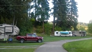
 Welcome to Sunny Sequim, in the “blue-hole” of the Olympic Peninsula. Positioned in the rain shadow of the Olympic Mountains, most Pacific rain falls on the windward side as storms drop their moisture due to the elevation increase. Left dry, the storms over Sequim produce only about 16 inches of rain per year, as compared to the Hoh Rain Forest only 40 miles to the southwest and drenched with over 12 FEET of rain annually. Mispronouncing Sequim is common, most often “see’quim” – but the correct way is “skwim”.
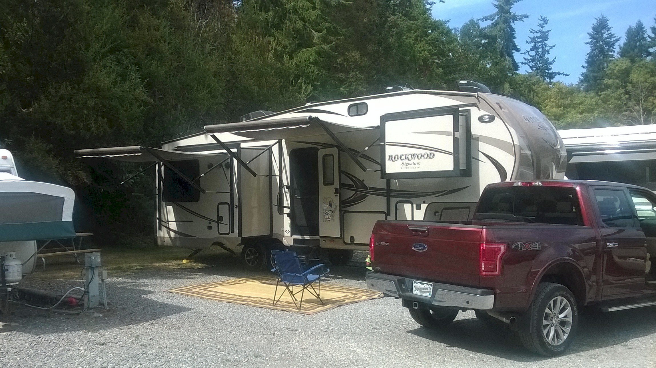
We’re parked at John Wayne’s Waterfront Resort, just a few miles east of downtown Sequim. The real John Wayne, the Duke, spent many summers navigating the waters around Sequim, the San Juan Islands and Puget Sound. The RV resort is still owned by John Wayne Enterprises, headed by Wayne’s youngest son Ethan. And, the land for the John Wayne Marina across the street was originally donated by the family. We’re in site #42, the second to the last site in the far back row. With 4 rows of RV’s, the back row probably has the narrowest view of the marina and Sequim Bay, but provides nice tall trees and is fairly private and quiet. The front row undoubtedly has the best views, but also suffers from some traffic noise along Sequim Bay Road.
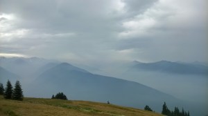
With a full weekend and a Monday afternoon in Sequim, we explored as much as possible – Dungeness Spit and Campground, Port Angeles and into Olympic National Park along Hurricane Ridge, shopping for delicious Pacific Northwest seafood, produce and beautiful Sequim lavender products plus a relaxing afternoon along the waterfront in Port Townsend. In Dungeness Recreation Area Campground, site #8 is probably the optimal non-reservation site and #49, #51 & #53 are best reservation sites. All of these sites back to the Strait of Juan de Fuca and offer some degree of viewing across the water. All sites are dry, with water and a dump station within the campground.
Sequim and the northern Olympic Peninsula is a “must return soon” destination – there’s so much more to do! Thanks to our awesome tour guides, G & D – we’d never have managed to see as much without you guys!
Quinault River Inn, Amanda Park, WA
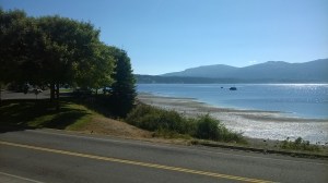
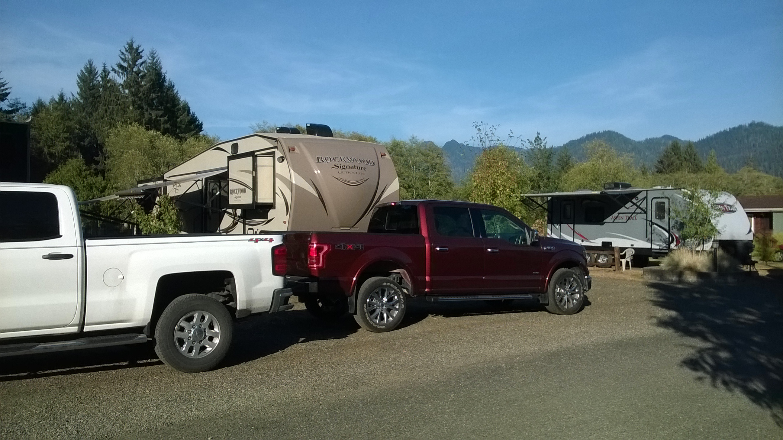
Good Morning from the edge of Olympic National Park. We’re parked in a tiny RV park along the Quinault River in Amanda Park, WA. Just off of highway 101, the Quinault River Inn provides 5 grassy and level water/electric hookup sites for $32/day. There are no dump facilities here, but with just a quick overnight stop it was fine for us. Today we’ll drive along the north coast of the Olympic Peninsula to Sequim where we’ll be spending the next 4 days. More from Sequim…
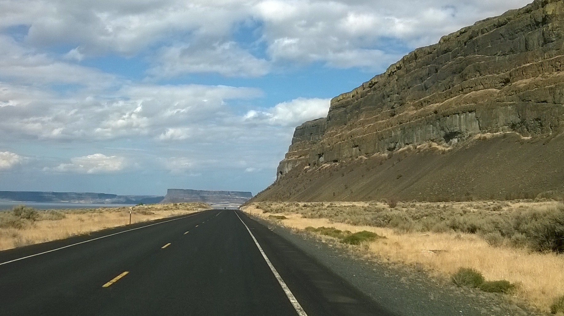
The Grand Coulee – Steamboat Rock
We’re about 10 miles south of Electric City, WA and about 14 miles south of the famous Grand Coulee Dam on the Columbia River. After spending 2 night in the North Cascades, we once again have a 2 night stay at Grand Coulee. We’ll do some laundry, resupply from the local Safeway and attend the laser light show at the dam.
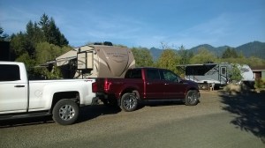
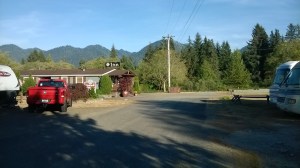
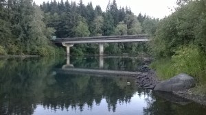
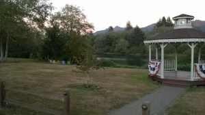
Steamboat Rock State Park hugs the shores of Banks Lake, a 27 mile long irrigation reservoir that is supplied with water from the Columbia River via a huge pumping station next to Grand Coulee Dam. The park includes 3 campsite loops, a large beach and day use area, boat launches and a concession stand. We’re parked on the Bay Loop in sites B18 & B19, both back-in sites with full hookups. With almost constant irrigation, this park boasts beautiful, lush green belts around all of the sites. All roadways, bike paths and parking areas are paved, with a gravel area beside each site with a picnic table and fire pit.
This 60 mile long ancient river bed – the “Grand Coulee” – has a fascinating history. Formed about 18,000 years ago, this huge scar was caused when water from Lake Missoula was released from behind a melted ice “plug”. As the 2000 foot high wall of water rushed across the Columbia Basin it stripped away soil, cut deep canyons and deposited soils offshore from modern day Portland, OR. This cycle was repeated many times during the Ice Age.
At the Grand Coulee Visitor Center, we’re reminded of how huge this dam and the overall Columbia River Project really is. Grand Coulee has a capacity of nearly 9,000 megawatts of electricity making it the largest hydro-electric project in the US and 6th largest in the world. Irrigation is supplied to over 600,000 acres of farmland. The dam is constructed with over 12 million cubic yards of concrete, making it one of the largest man-made structures in the world. The laser light show on Tuesday is a bit underwhelming – the light and sound show technologies seem to have left Grand Coulee behind. They also offer dam and power plant tours during the day – next time we’ll take in a tour instead.
After Grand Coulee, we’ll continue west through Lewiston, ID to Hell’s Gate State Park. More from Idaho…


Alpine RV Park, Marblemount, WA
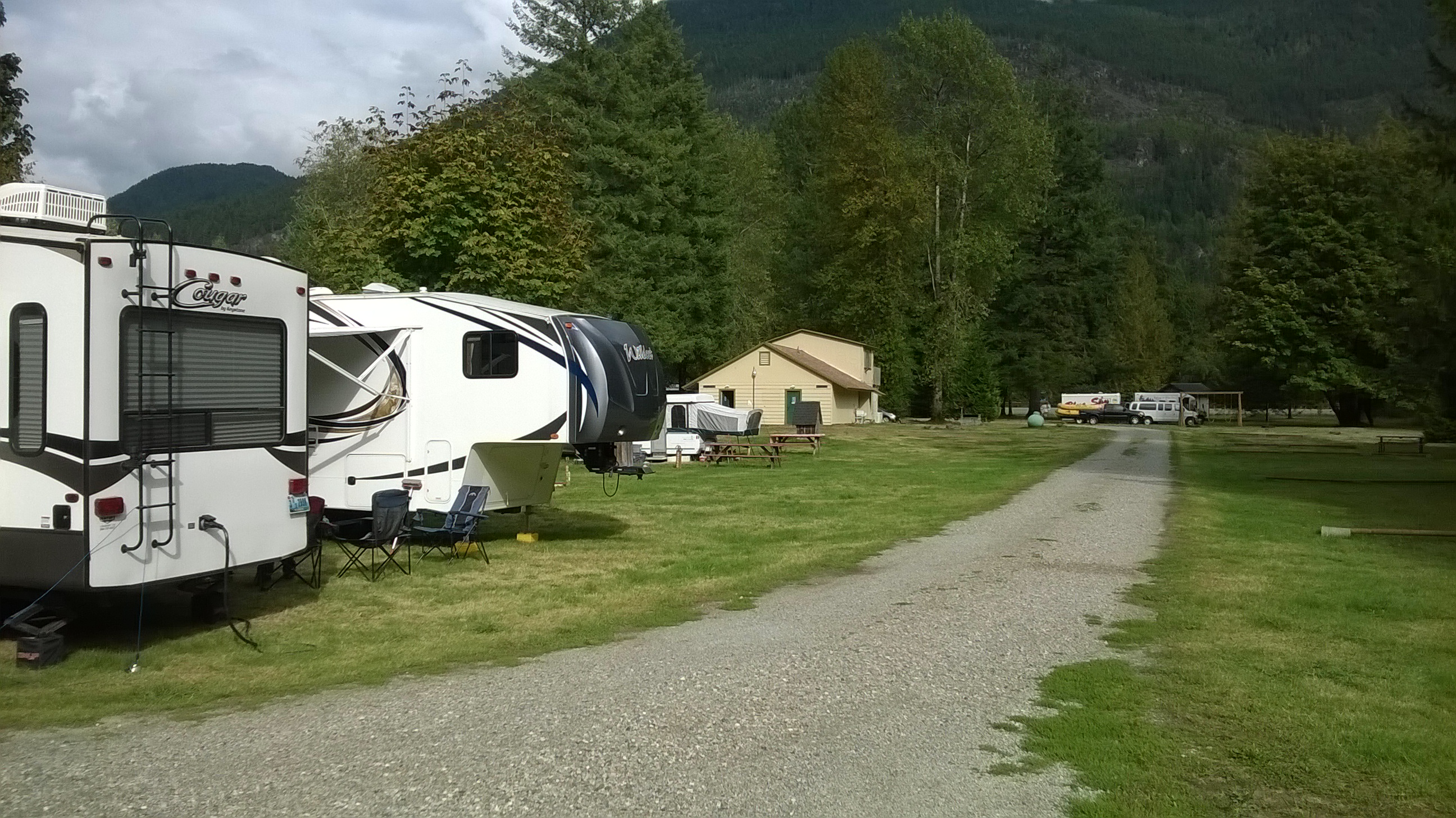
After leaving Hope, BC, we proceeded to the Huntingdon/Sumas border crossing. The Labor Day Weekend traffic caused about an hour’s worth of backup at the border, but once through the checkpoint, we had no traffic on Highway 9 traveling south through the farmlands of western Washington. A left turn on Highway 20 takes us to Mablemount, and the Alpine RV Park. Set on the outskirts of this mountain community, the park is a small oval with grassy spaces and 50/30/15 amp electric service, water taps and sewer hookups. At $15/night with Passport America discount, plus an additional $30 for the second night, this may be the most reasonable place we’ve stayed. The park also provides a small laundry room and a bath/shower house. The tall trees and mountains surrounding the area make satellite set-up challenging but achievable with the correct site selection. There is no T-Mobile service, but the Verizon broadband works well. And, no over-the-air TV that we find. With electrical problems affecting several sites, and our 30A breaker clicking off once, this park appears to be due for some deferred maintenance and TLC.
We’re here in Marblemount for two days as we explore the nearby North Cascades National Park. This is the last town along Highway 20, the North Cascades Highway, that escaped fire damage by the wildfires of this very dry season. Newhalem, about 15 miles to the east was evacuated during the worst of the fires and the damage is noticeable at the National Park Visitors center here. After a stop at the Visitors Center, we continue all the way to Ross Lake stopping along the small trails that provided overlook points for the 3 hydroelectric dams here, Gorge, Diablo and Ross. Owned and operated by the City of Seattle, these three plants provide up to 20% of Seattle’s electrical needs.
Tomorrow we’ll continue up and over the North Cascades highway through Twisp and Okanogan, two of the eastern slope communities heavily affected by the wildfires that have so far burned over 130,000 acres and claimed the lives of 3 firefighters. Our next stop is Grand Coulee dam – more from there…


The Way We Plan

