Independence Day at Lake Glendo

4 07 2014

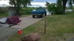
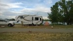
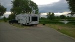
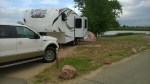
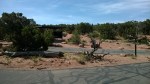
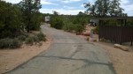
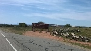
Sticking with a long running tradition, we’re back at Lake Glendo State Park for the July 4th weekend.  With the 4th falling on a Friday, we assume things will be very busy at Glendo.  However, we’re hopeful that leaving on Tuesday afternoon will still allow us to snag a few nice lakeside sites at Custer Cove MAP.

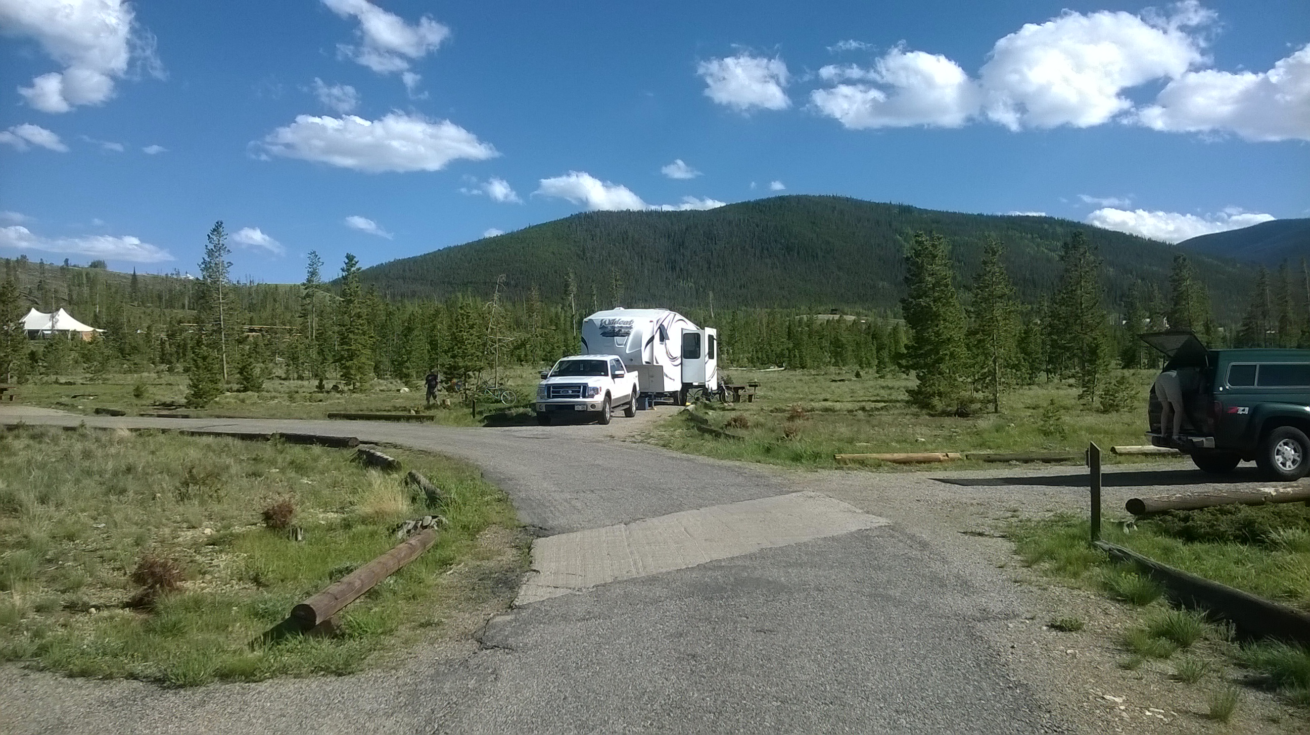
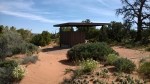
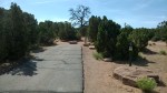
Arriving at the entrance to Custer Cove around 6pm, we’re greeted with a “Campground Full” sign forcing us rethink our plans and head over to Two Moon campground.  Here we’re surprised to find no cliff-side sites available and instead end up at some of the least desirable sites along the main road, #36 #37 & #38.  A “busy” 4th of July weekend appears to be an understatement this year!  Fortunately after a walk around the following morning, we’re pleased to note that some sites are empty and other campers appear to be packing up.  By noon we’ve packed up and moved to site #67, one of our favorites overlooking the dam.  We’ve also secured 2 other sites #66 and #68 for friends that will arrive later.

As temperatures approach 100 and without lake access from Two Moon, we pack up chairs, coolers and floats in search of beach access.  We end up on the point between Whiskey Gulch and Custer Cove.  We’ll try for a campsite at Custer Cove next year!


St. Vrain State Park

21 06 2014
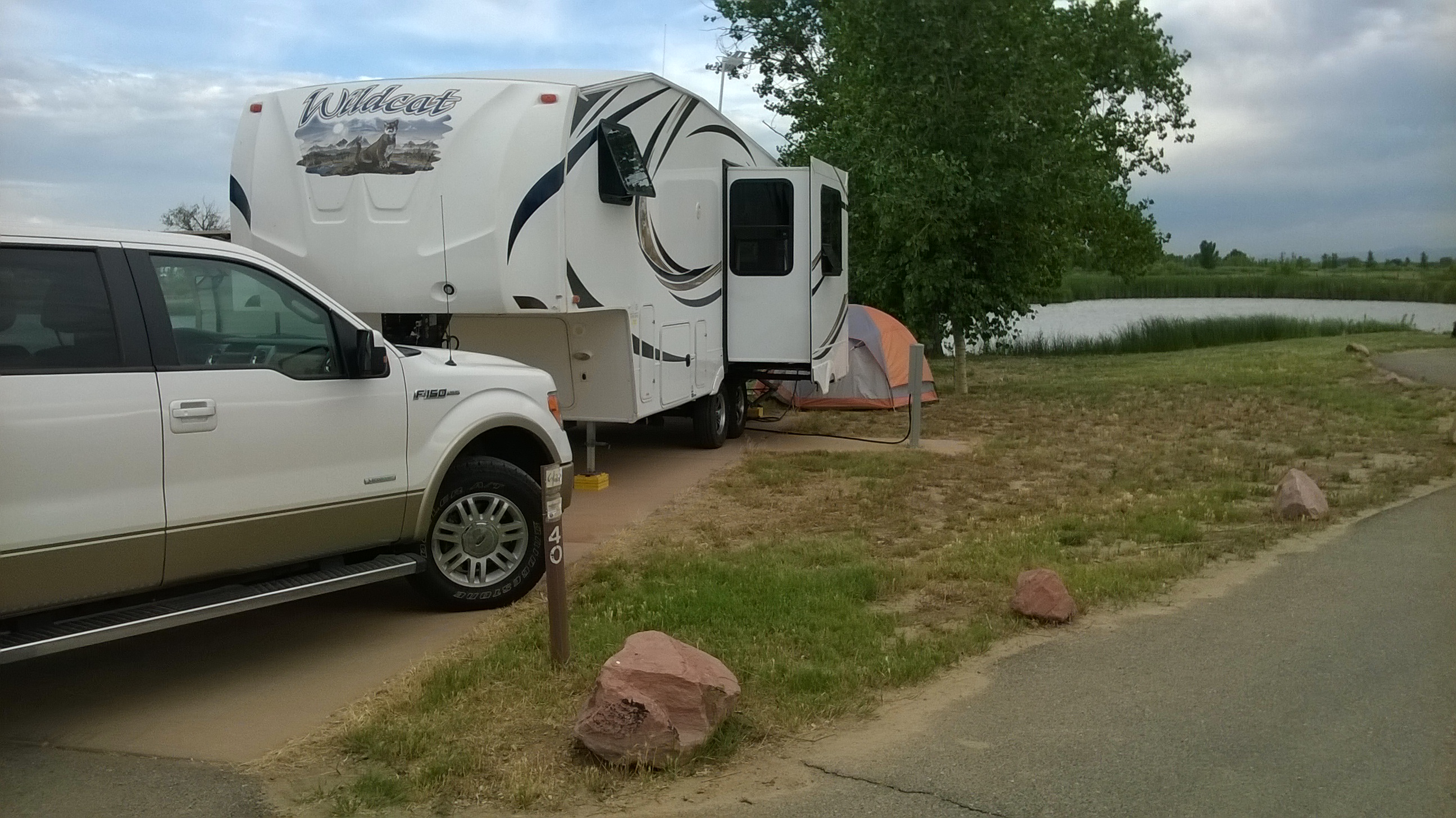
St. Vrain SP, site #40

St. Vrain SP, site #40

We’re parked at St. Vrain State Park, about 30 minutes north of Denver along I-25.  The park offers 87 campsites scattered around 10 small ponds along the St. Vrain river.  The sites are well spaced, and the electric-only sites #1-#41 are set among large cottonwood trees.  Sites #42-#87, located in the southwest quarter of the park offer full hookups, but the landscaping is less mature.

We’re parked in site #40 that backs directly onto Sandpiper Pond.  The sites are level, paved with a covered picnic table and fire ring.  The park is immaculately clean, the hosts empty the fire rings and rake the gravel around the picnic table after each departure.  The only downside to this park is its location next to I-25.  With the northeasterly breeze this weekend, the traffic noise is almost annoying, interrupting conversation at times.

While site #40 is a good site with a few mature trees and great view, sites further away from the highway might offer a bit more protection from the noise.  The best site is probably #33, at the far end of this loop and with a western exposure.  All in all, we’d probably return to this park if there was a need to be in a urban, close-to-home setting.


Colorado BBQ Challenge – Frisco

14 06 2014
21st Annual Colorado BBQ Challenge

21st Annual Colorado BBQ Challenge

Continuing the “Colorado Festival” theme, this weekend we’re attending the 21st Annual Colorado BBQ Challenge in Frisco, CO.  We’re parked at Peak One, a Federal campgound on the shores of Dillon Reservoir.  We’re in sites #38 and #39, back-in sites on the west end of the campground.  Peak One has a total of 79 sites and occupies space on a peninsula just south of the Dillon Marina.  The campground was devastated by the Mountain Pine Beetle attacks of the last 15 years and is just now beginning to show some recovery with the many trees that were hand planted and nurtured by sprinkling systems.  For the first time in many years, Peak One has a repaired water system that offers a few water taps and flush toilets.

With connections to the Summit Country trail system, this lakeside campground is ideal for biking or hiking to Frisco or Breckenridge.  Transit connections also provide bus access to other Summit County locations.

WP_20140613_013

Site #39, Peak One Campground, Frisco/Dillion


Boats, Bands and BBQ – Pueblo

6 06 2014
Boats, Bands and BBQ, Pueblo

Boats, Bands and BBQ, Pueblo

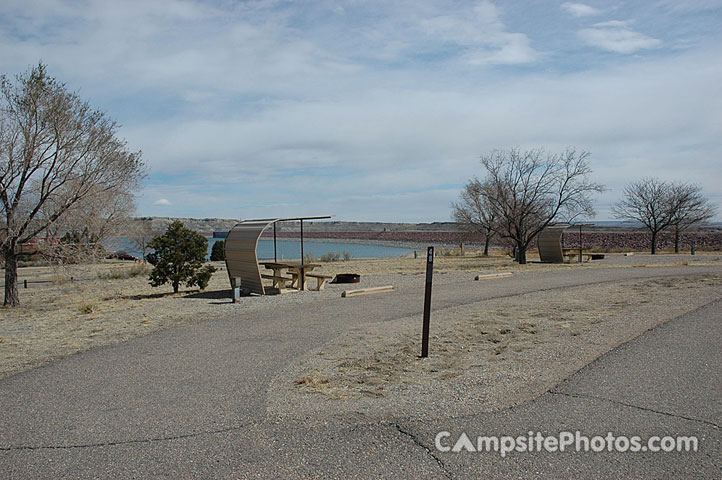
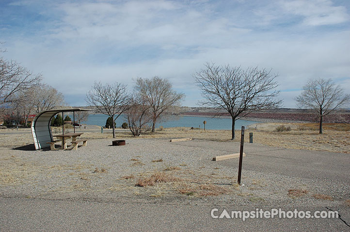
This weekend we’re attending the Boats, Bands and BBQ festival along the Arkansas Riverwalk in downtown Pueblo. We’re parked at Lake Pueblo, in the Arkansas Point Campground near the South Marina.  Sites #48 and #50 are large sites offering electric services and great views across to the lake and dam.

This is one of the first times we’re not camping on the northern shore, and provides a unique view of the lake and easy access to downtown Pueblo.  The Riverwalk area is quite a surprise, Pueblo has made amazing progress in this area with inviting restaurants, pubs and green belt areas along the original course of the Arkansas.  In 1920, the river was diverted out of town due to devastating floods that destroyed much of Pueblo.  The Historic Arkansas Riverwalk of Pueblo (HARP) returns the river to the original course, along with modern flood controls.  The relatively new development has renewed the formerly derelict and disrespected areas of old-town.

The BBQ is good, the bands are never-ending and we have a great afternoon in downtown Pueblo.

Sites #48, from CampsitePhotos.com

Site #48, from CampSitePhotos.com

Lake_Pueblo_State_Park_050

Site #50, from CampSitePhotos.com


River Dance RV Resort, Gypsum, CO

5 05 2014
River Dance RV, Gypsum, CO

River Dance RV, Gypsum, CO

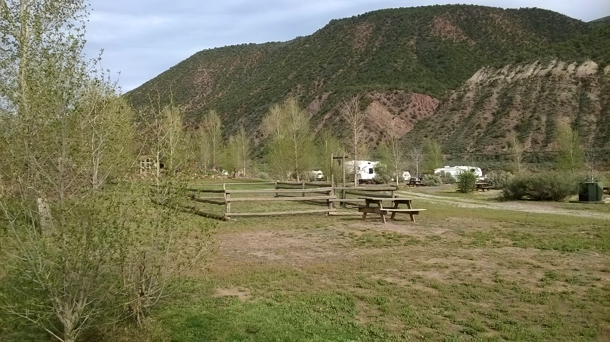
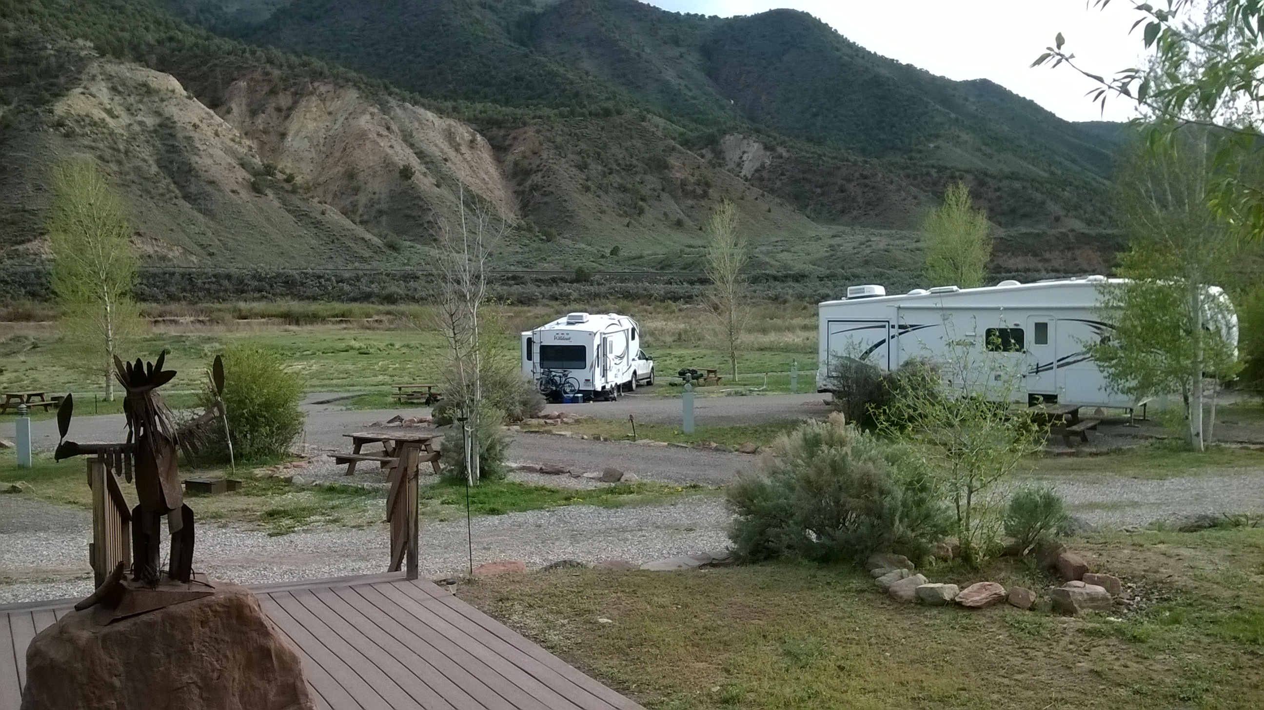
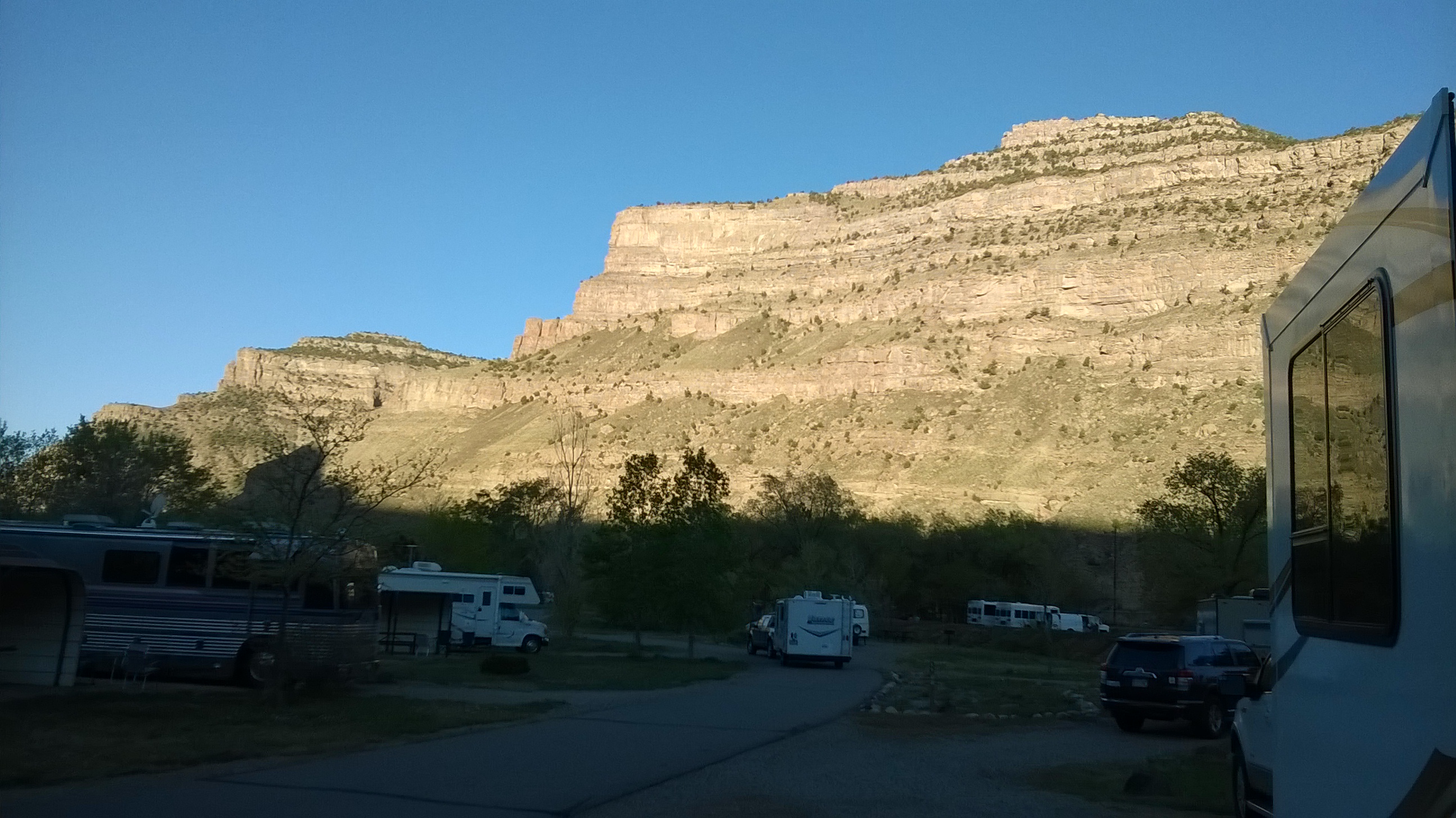
We’re about 4 hours east of Dead Horse Point State Park, parked at River Dance RV Resort in Gypsum, CO. Incorporated in the early 1900’s, Gypsum grew out of the industry that makes dry wall.

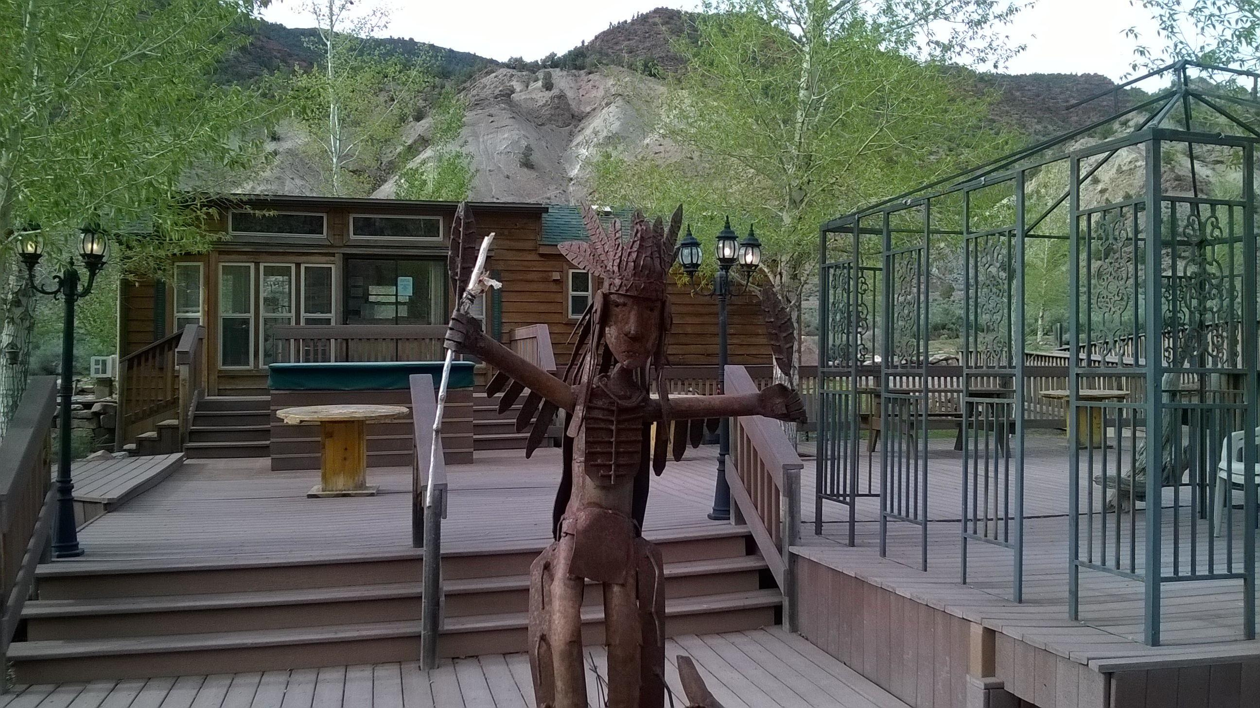
Gypsum got a further boost to the economy when thousands of transportation workers began arriving in 1979 to work on the 13-year Glenwood Canyon interstate project. This park was probably carved out of space directly next to the river to make room for workers temporary housing or to act as a staging area for the highway building project.  There are about 40 sites organized around an oval loop, most with electric and water.  On the east end there is an additional loop of what were once more RV sites, some still with the picnic table setting among the overgrown weeds and shrubs.  Some these old sites back up directly to the river and would be premium sites for dry RV or tent camping.

There are clean bathrooms, showers and a laundry facility available.  There’s also a beautiful river-facing deck that looks ideal for enjoying a cold beer on a warm afternoon.  But, with what appears to be only a short reprieve from winter, it might be a few weeks before the party deck is open.  The park offers WiFi, which we didn’t use, and has fairly good Verizon cellular coverage.  We couldn’t find any over the air TV channels.  Tomorrow we’ll make the short 2 hour drive home.

River Dance RV, Gypsum, CO

River Dance RV, Gypsum, CO

River Dance RV, Gypsum, CO

River Dance RV, Gypsum, CO


More from Dead Horse Point

4 05 2014

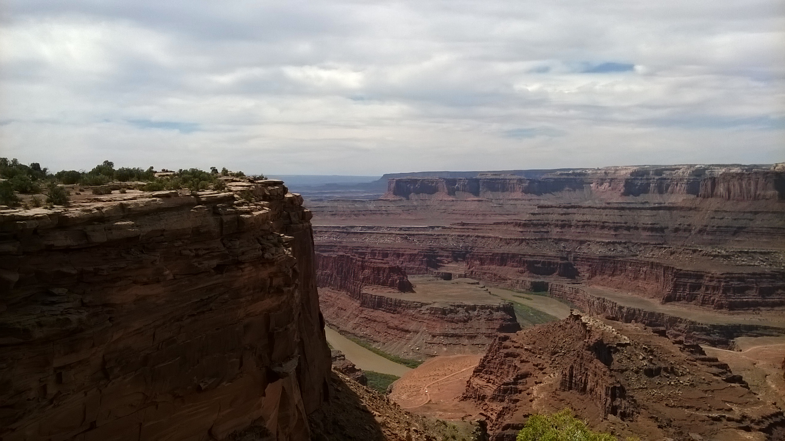
WP_20140504_010After spending the day at Canyonlands National Park yesterday, we’re sticking closer to home today and will explore some of the hikes & views from within Dead Horse Point State Park. We’ll start our explorations at the very tip of the mesa, a small point of land beyond the narrow neck that legend tells of being used to corral horses.

From the campground, the paved road passes through a picnic area before ending at a parking lot right at the tip of the mesa.  The views from here are amazing, maybe even better than some at Canyonlands.  Not only can you see large sections of the Colorado River as it flows from Moab, but you can also see the emerald pools of Intrepid Potash, the nations largest producer of potassium chloride.  At the Moab site, a water and salt brine is pumped up to 4000 feet below the surface into potassium rich areas where it dissolves the potassium and becomes a heavy, double saturated solution.  Pumps carry this solution from cavern low points into the evaporation ponds where it is mixed with blue dye to better concentrate the sun’s rays and speed evaporation.

There are several hiking trails and overlooks that pass this point, or the Visitor Center. There are also 3 mountain bike/hike trails that leave the Visitor Center.  The Intrepid Loop to the Colorado River Overlook – 1.1 miles.  The Great Pyramid Loop, to Pyramid Canyon Overlook – 4.2 miles and the Big Chief Loop that to the Big Chief Overlook – 9 miles.  On the West Rim hiking trail is the Big Horn Overlook, Rim Overlook,  the Shafer Canyon Overlook. and the Meander Overlook.

Tomorrow we’re going to pack up and head east toward home.  We’re planning to stop just on the east side of Glenwood Canyon at the River Dance RV Park.  More from there…


Canyonlands National Park

3 05 2014
Caynonlands National Park

Caynonlands National Park

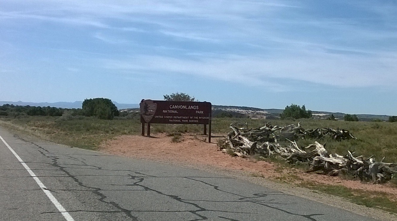
Today we’re headed to Canyonlands National Park, one of 5 national parks in Utah including neighboring Arches, Capitol Reef directly west and Bryce and Zion in the south west corner of the state. From Dead Horse Point State Park it’s a short 10 mile drive to the Island in the Sky Visitor Center at Canyonlands.

The park is essentially a huge “Y” shaped area, bounded by the Green River, the top-left of the “Y”, and Colorado River, the top-right of the “Y” and their confluence at the lower half of the “Y”.  At the top, or northern most area, bounded by the two rivers is the Islands in the Sky section. After the rivers join, the western area is knows as The Maze, and the eastern area is The Needles.

We’ll be visiting only Islands in the Sky since The Needles is nearly 100 miles south of Moab and The Maze is only accessible by 4WD jeep trails, floating the Colorado River or back country explorations starting in Glen Canyon NRA to the far west.
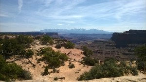
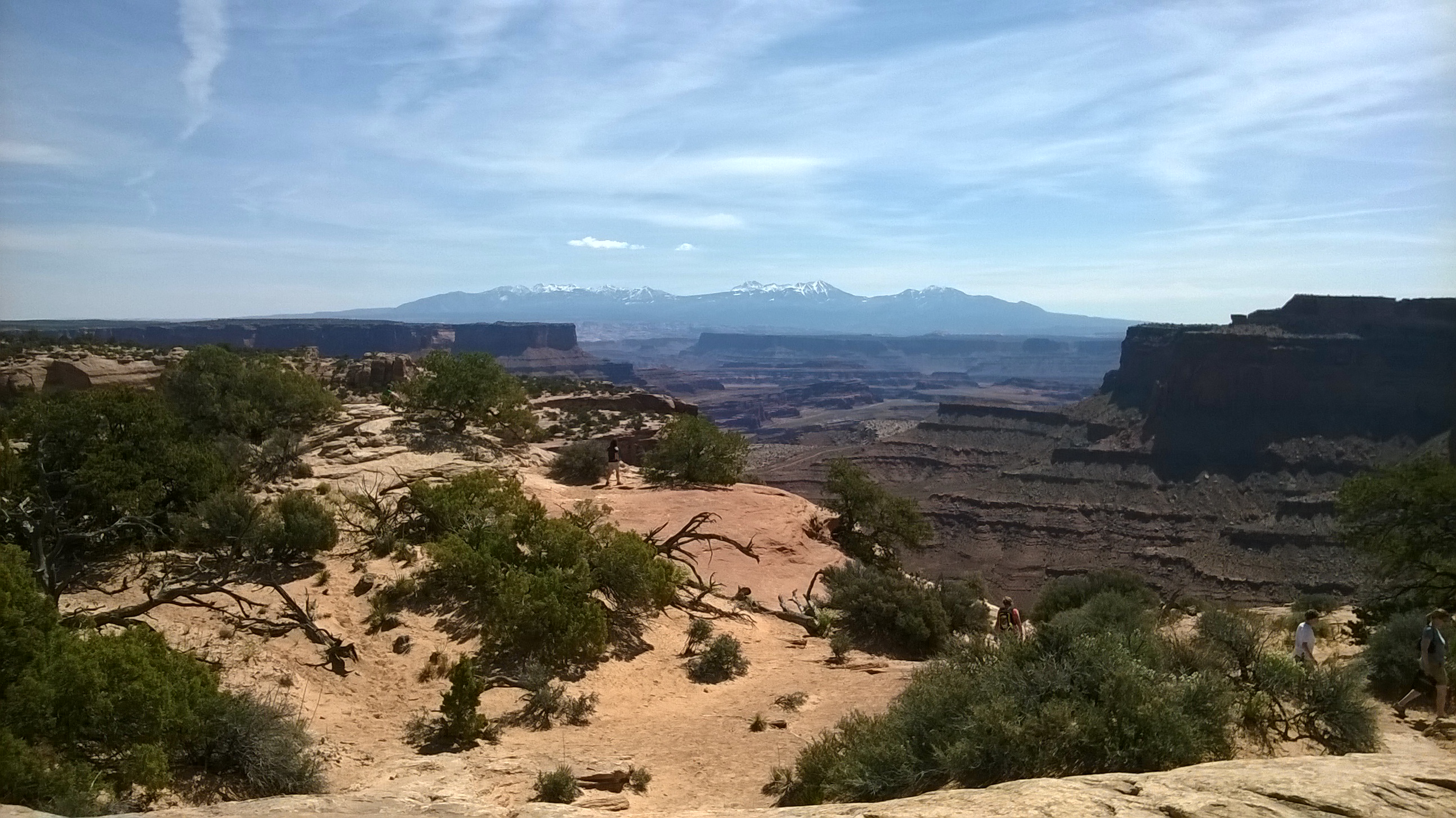
Grand View Point Overlook, La Sal Mountains

Grand View Point Overlook, La Sal Mountains

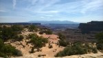
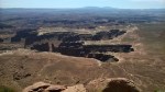
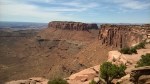
The main road past the Islands of the Sky visitor center runs almost directly south to Grand View Point Overlook, our first stop on our explorations of Canyonlands. The hike from the parking area  is 1 mile each way and wanders along the south rim for much of the way before crossing over to the north rim for spectacular views of the Green River valley to the northwest.  Working our way back toward the park entrance, our next stop is at the drive through Buck Canyon Overlook that looks to the east toward the Dead Horse Point mesa.  Detouring off the main road toward Upheaval Dome, we first stopped at Green River Overlook where the views across the Green River valley and into Glen Canyon NRA were almost limitless.
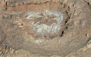
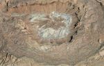
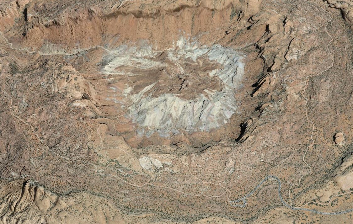
Upheaval Dome from Google Earth

Upheaval Dome from Google Earth

The only campground in Island in the Sky, Willow Flat Campground, is just before the Green River Overlook.  With only 12 sites, all on a first-come first-served basis, we thought it a bit too risky to try and camp here.  Continuing to the end of Upheaval Dome Road is a parking area with trails leading up to , around on the rim and even into Upheaval Dome, a huge 3 mile wide round depression.  Unique at the Dome are the center rocks thrust upward into the dome shape, surrounded by outer rocks that have warped downward. Two hotly debated theories are described – one of a deeply eroded salt dome structure, and one of an impact crater.  All of our group most enjoyed the impact crater view, of course complete with accompanying aliens.
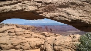
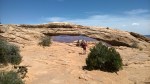
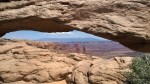
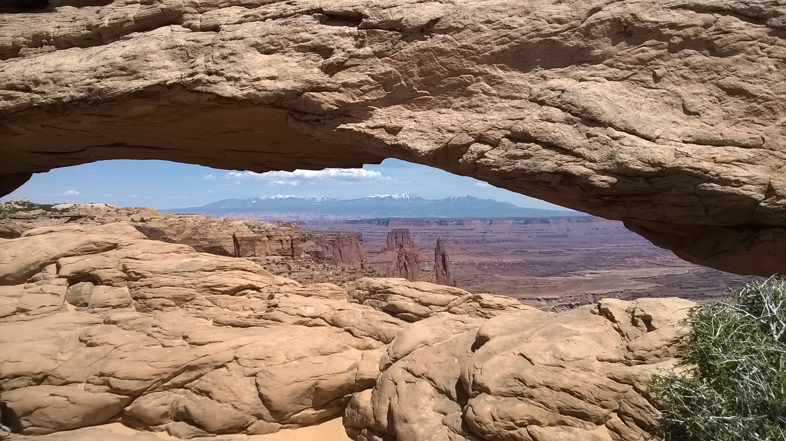
WP_20140503_052Leaving Upheaval Dome back to the main road, our last stop is at Mesa Arch.  From the parking area it’s only about a half mile round-trip to the arch. This relatively small arch is most photographed at sunrise, but even at mid-afternoon the scenery through the arch is spectacular including the snow covered peaks in Utah’s La Sal Mountains to the east.  To see beautiful sunrise pictures of Mesa Arch, google “Mesa Arch” – you can even find free desktop wallpapers of the arch.  I think this is one of the nicest: Backcountry Gallery.
My overall impression of Canyonlands is that the vastness makes the scale of what you are seeing almost impossible to grasp.  When standing at the far south end of Island in the Sky at Grand View Point you’re looking well beyond the confluence of the two rivers, nearly back to Colorado to the east, and into Glen Canyon NRA to the west in an area covered with sprawling canyons and towering mesas.   From 2000 feet up on a huge 10 mile long mesa, the largest river in the western US looks like a small, lazy stream winding it way through the valleys below.


Dead Horse Point State Park, UT

2 05 2014

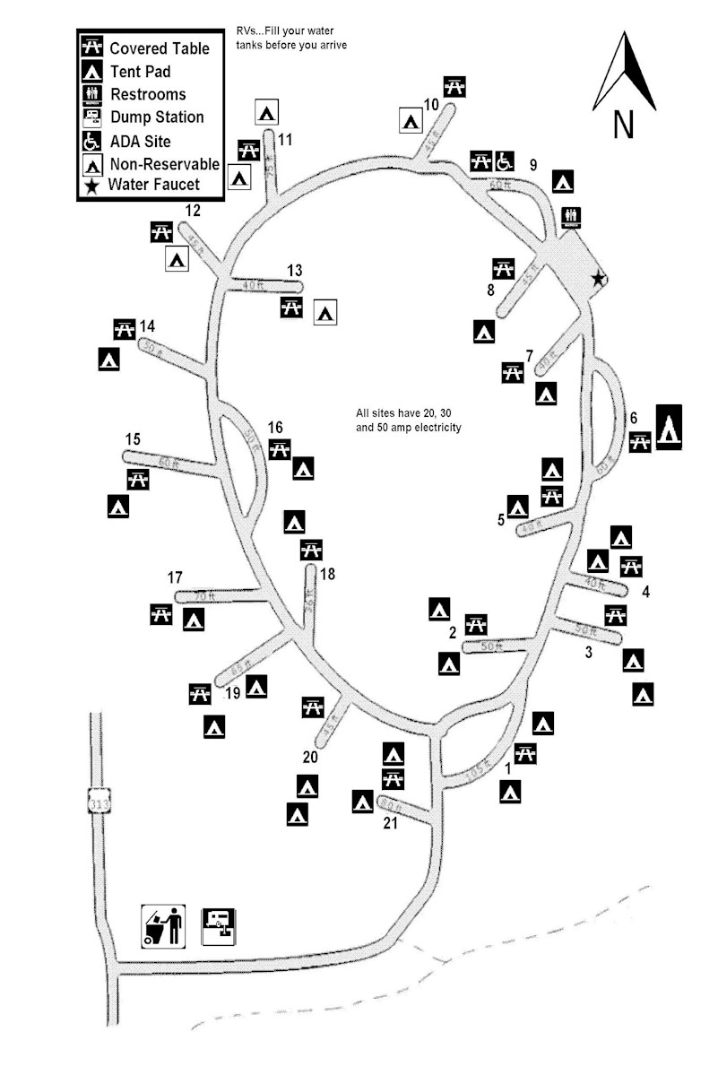
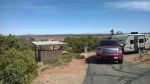
Utah’s Dead Horse Point State Park occupies a mesa towering 2000 feet over the gentle bends of the the Colorado River in the valley below. Legend tells of cowboys corralling horses beyond the very narrow “neck” onto the small point of land where many died due to lack of water – all within sight of the mighty Colorado River.  The small campground of only 21 sites MAP is organized around a loop that slopes toward the east rim, and views of Canyonlands National Park.  Site #14 is at the uppermost part of the loop, sites 1, 3 and 4 occupy the lowest points.  We’re parked in back-in site #18 with friends in a pull-through site #16.  These two sites are both on the inside of the loop, with a shared area with 2 large tent sites.  Site #16 is open with beautiful views over the campground toward the East Rim.  Site #18 is set among trees that prevent awning deployment, but does provide a bit more privacy.


West toward Moab, UT

1 05 2014

We’re back on the road again, this time headed west on I-70 toward Moab, UT and Canyonlands National Park.  After leaving around 1pm yesterday, we’re parked at Island Acres, a section of the James M Robb Colorado River State Park.  This is our 2nd visit to Island Acres – it makes a great overnight stop on the way to eastern UT.  We along with friends are parked in sites #57 and #58 with full hookups right along the Colorado River.  This is a beautiful location along the river, albeit with a bit of highway noise and the occasional train rumbling by.

island Acres

island Acres

Tomorrow we’re continue about 2 hours southwest toward Moab where we’re staying just outside the entrance to Canyonlands National Park at Utah’s Dead Horse Point State Park.  More from UT…